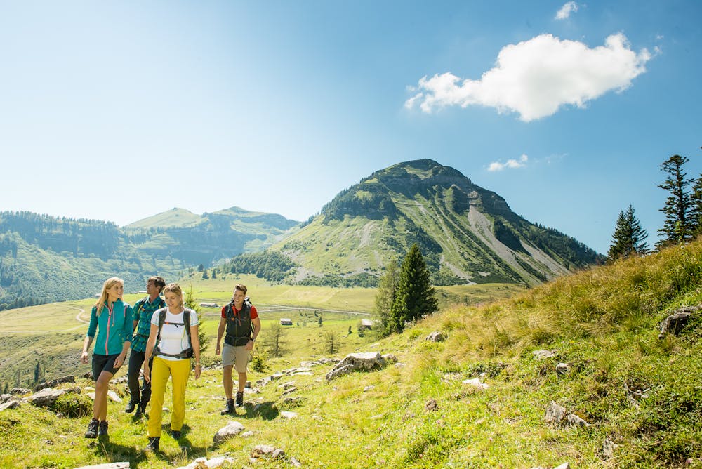
BergeSeen Trail Etappe 07: Hintersee - Postalm
Guided route: Hintersee (village) - Genneralm - Hoher Zinken - Pitscherberg - Postalmh
Hiking Difficult
- Distance
- 18 km
- Ascent
- 1.3 km
- Descent
- 702 m
- Duration
- 5-6 hrs
- Low Point
- 743 m
- High Point
- 1.7 km
- Gradient
- 15˚

From Hintersee to the Genneralm (2 hours)From the centre of Hintersee (near the church) take the road southeast to the village of Lämmerbach and a car park where the toll road to the Genneralm begins. Now on the gravel road uphill, some hairpin bends can be shortened over a steep path, to the wide area of the Genneralm with many huts, about 1,300 m high. Two of the huts (Posch`n Hütte and Reith Hütte) are open to the public and invite you to stop for a bite to eat.From the Genneralm to the Hohe Zinken (1 ½ hours)From the open alpine huts, you continue on an alpine path eastwards - first slightly uphill, then downhill into the Gennersattel. Now a narrow and steep climb begins, which winds up over the west flank in several hairpin bends to the summit cross at Hohen Zinken (1,764 m). You will be rewarded with a magnificent view of the nearby Osterhorn mountains, Tennengebirge, Hochkönig and Dachstein (3 hours). From Hohen Zinken to the Postalm (3 hours). The trail continues over the flat ridge to the northeast until after 700 metres you come to a turnoff with a signpost. If you continue on your back, you can reach another beautiful peak in a few minutes, the Osterhorn (1,746 m). The way back and forth takes about 20 minutes, from the turnoff over a steep meadow slope down into a wide kar - called "Goldenes Schüsserl". To the right of the path you can see a mountain hut and a hunting lodge. At the Almhütte a small stream rises from a cave. Continue east into the saddle between Osterhorn (left) and Pitscherberg. A narrow path leads uphill again through the beautiful mountain forest and you reach a signpost just below the summit of the Pitscherberge. Now it goes downhill over meadow slopes, then through the light larch forest and one reaches the beautifully situated Pitschenbergalm (snack station, beautiful view of the Dachstein), continues down to a pasture gate, then straight on on an alpine pasture path to a road. Now turn left along a blue marking (circular path 2) slightly uphill and downhill towards the northeast over a long ridge to the first hut on the Postalm, the mountain inn Huber. Continuing in the same direction, after ten minutes you reach the high-level car park on the Postalm, not far from the famous Postal Chapel - you have reached the destination of this hiking stage.
Difficulty
Difficult
Hiking trails where obstacles such as rocks or roots are prevalent. Some obstacles can require care to step over or around. At times, the trail can be worn and eroded. The grade of the trail is generally quite steep, and can often lead to strenuous hiking.