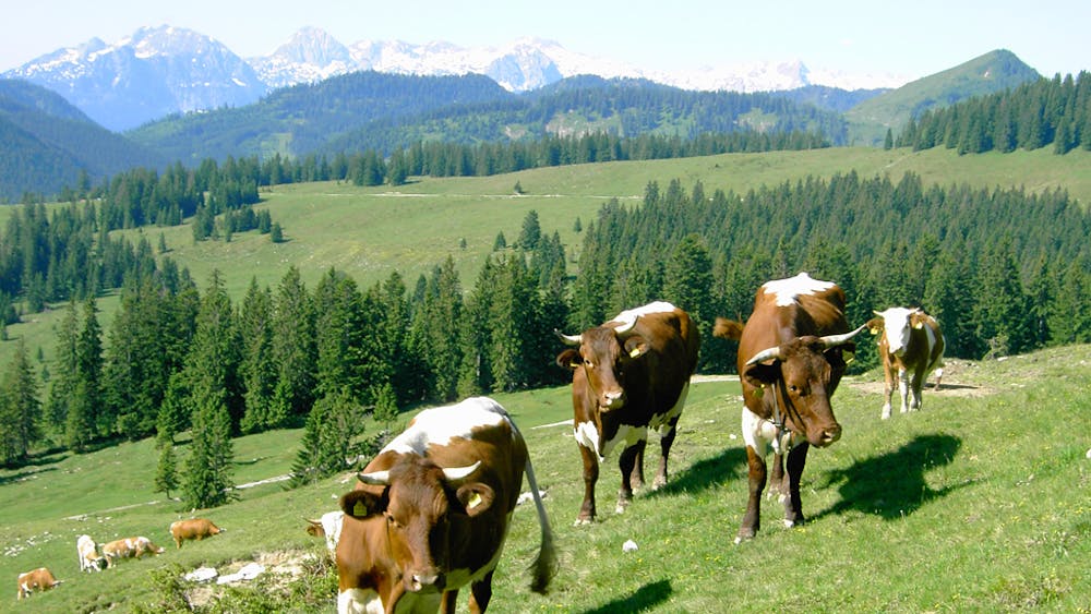
BergeSeen Trail Etappe 08: Postalm - Strobl
Guided tour: Postalm (high car park) - Thorhöhe - Niedergadenalm - Schartenalm - Ghs. Mahdhäusl - Blinkling moss - Stroblh
Hiking Moderate
- Distance
- 11 km
- Ascent
- 219 m
- Descent
- 1 km
- Duration
- 2-3 hrs
- Low Point
- 538 m
- High Point
- 1.5 km
- Gradient
- 15˚

The starting point is the high altitude car park (car park 3) on the Postalm (1,285 m). From the car park you hike flat towards the north on an alpine pasture road and after 15 minutes you come to the Wieslerhütte, where you turn right immediately and continue on another flat alpine pasture road in the direction of the Thoralm. After 700 meters you come to a signpost. Now left on a narrow climb over the alpine pasture up into a wide saddle (Thoralmsattel 1.492 m) the highest point of this stage. From here a very worthwhile detour to the near summit of the Thorhöhe is offered. You climb from the saddle to the east, following the clearly visible markings, first flat uphill, then almost flat over to the summit cross at 1,533 metres. This ascent takes about 20 minutes. In the north the view of the Schafberg with Wolfgangsee, Mondsee and Irrsee as well as from the Attersee is visible. Returning to the saddle - it takes about an hour to make a detour to the Thorhöhe - you return to the saddle on a narrow alpine path down to the private Höpli hut and then the path winds through the sparse larch forest down to the uppermost hut of the Niedergadenalm, which is on the 1st level.228 metres above sea level (beautiful view of Rinnkogel and Gamsfeld), the path leads from the alpine hut down to the right via an alpine meadow to a pasture gate at the edge of the forest. Now it goes flat through the forest into a small saddle, then follows a steeper piece, a swampy place is overcome over a wooden footbridge. The descent continues over wide alpine meadows, the steep falls of the Sparber in front of your eyes, to an alpine road and soon afterwards to a hut with a fountain. From the Mahdhäusl Inn (tel. +43 6137-7485, Tuesday rest day) next to it there is a wildlife park, the access road in the direction of Wolfgangsee, the national road is crossed and you reach the famous high moor "Blinklingmoos". Along the Wolfgangsee shore you finally reach Strobl, which lies at the eastern end of Wolfgangsee.
Difficulty
Moderate
Hiking along trails with some uneven terrain and small hills. Small rocks and roots may be present.