BergeSeen Trail Etappe 24: Gablonzer Hütte - Hofpürglhütte
Dachstein Salzkammergut
Guided route: Gablonzer Hütte - Stuhlalm - Hofpürglhütte via the "Austriaweg "h
Hiking Difficult
- Distance
- 10 km
- Ascent
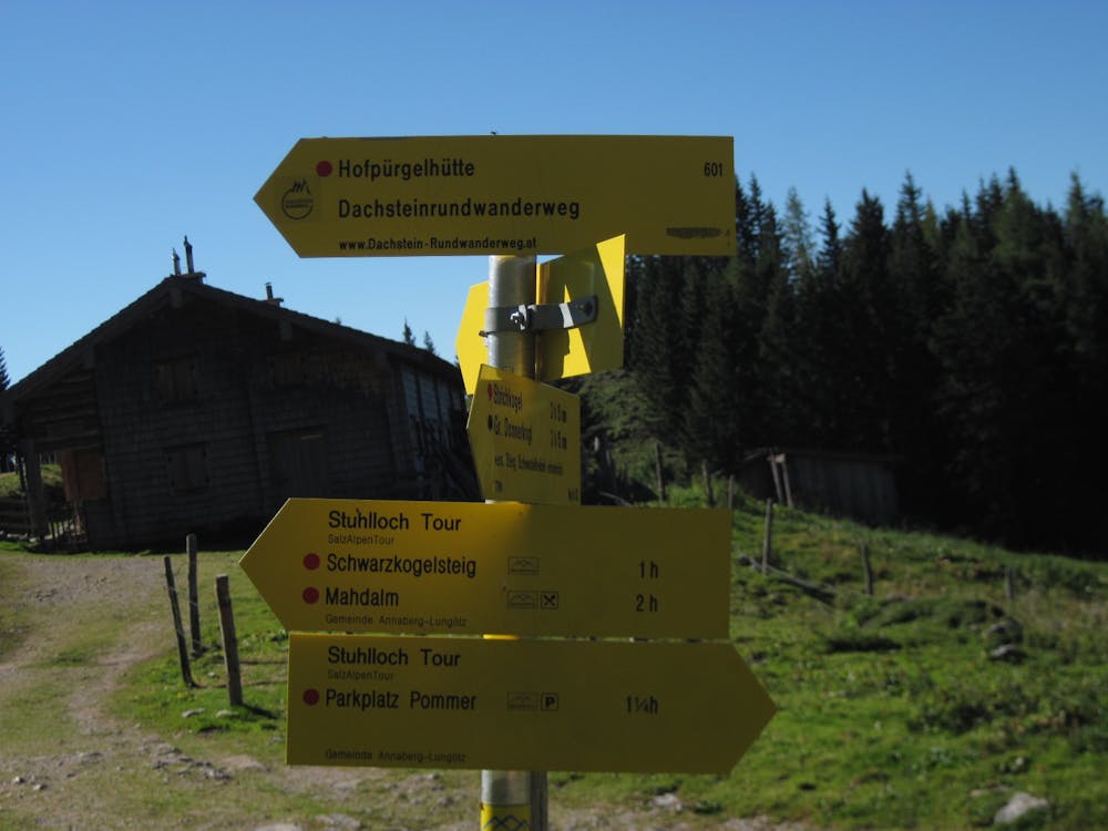
- 601 m
- Descent
- 408 m
- Duration
- 3-4 hrs
- Low Point
- 1.4 km
- High Point
- 1.7 km
- Gradient
- 12˚

From the Gablonzer Hütte to the Stuhlalm or Theodor Körner Hütte (1 ¾ hours)The hiking trail begins with trail number 611 in a south-westerly direction up to the northeastern Törlecksattel, 1599 m, and then flatly across to the south-westerly Törlecksattel, 1576 m. Here the normal route branches off to the Großer Donnerkogel. Now downhill to a cattle trough, there left on a stony path to the Schefferbergwald forest and then slightly uphill and downhill, crossing the steep slopes of the Großer Donnerkogel into the Sulzkar. There you can enjoy a magnificent view of the Bischofsmütze. The nearby Theodor Körner hut, which is an alpine club hut of the Academic Section in Vienna, is hidden somewhat in the woods. From the Stuhlalm or Theodor Körner hut to the Hofpürgl hut (2 ½ hours)Over the alpine pasture floor we continue in a southwesterly direction to the nearby hunting hut and then descend into the large cirque, also called "Stuhlloch" (chair hole). It was destroyed by a rockfall in 2012. Thus the newly created path must be climbed to the right over the scree pile through a mountain pine area to a rock channel. Through this channel with wooden steps and wire ropes up to the Jöchl, 1601 m. The path now continues flat for a longer time towards the south, crossing the Kare Lehenhüttenkar and Langtal until you reach a small insert. Here the descent to the nearby Mahdalm branches off to the right and the Austriaweg continues flat, now in a southeasterly direction, in an arc around the foothills of the Leckkogel until the view of the mighty Torstein becomes clear. After only a short time the Hofpürglhütte is reached. https://www.dachstein-panorama.at/?s=pano68545&utmsource=tourdata&utmmedium=textlink&utmcampaign=tourdata360tour" https://www.dachstein-panorama.at/?s=pano68545&utmsource=tourdata&utmmedium=textlink&utmcampaign=tourdata360tour "To the 360° Panorama Tour through the Gosau Valley ...
Difficulty
Difficult
Hiking trails where obstacles such as rocks or roots are prevalent. Some obstacles can require care to step over or around. At times, the trail can be worn and eroded. The grade of the trail is generally quite steep, and can often lead to strenuous hiking.