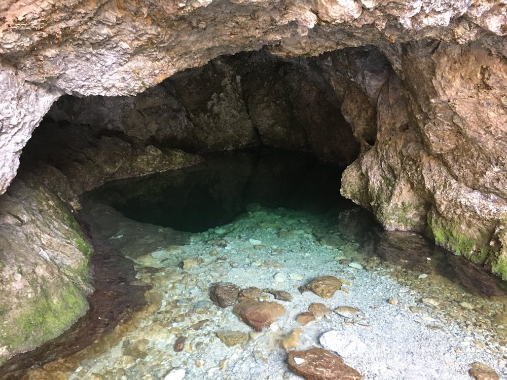
Birnbachloch
Berchtesgaden
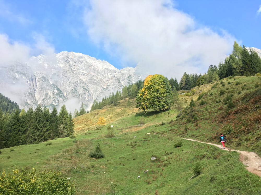
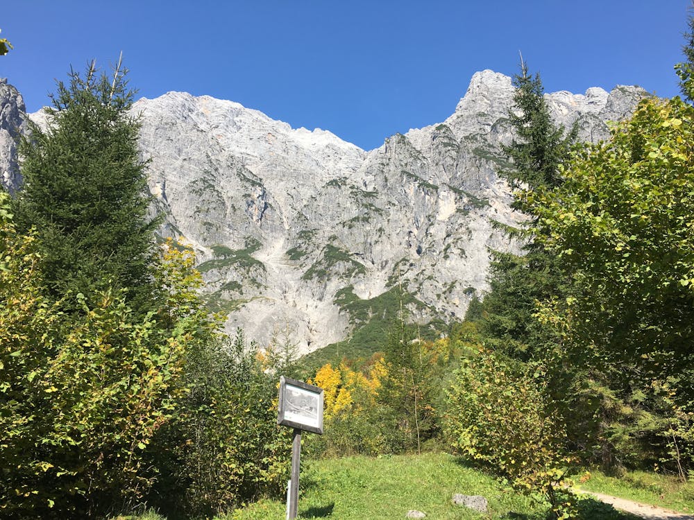
A scenic hike to one of the lowest glaciers in Europe
Hiking Moderate
- Distance
- 2.1 km
- Ascent
- 373 m
- Descent
- 3 m
- Duration
- 1-2 hrs
- Low Point
- 879 m
- High Point
- 1.2 km
- Gradient
- 14˚

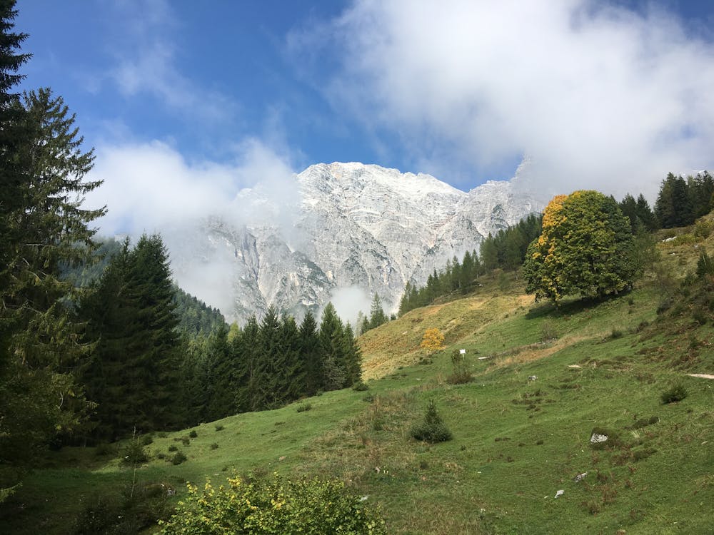
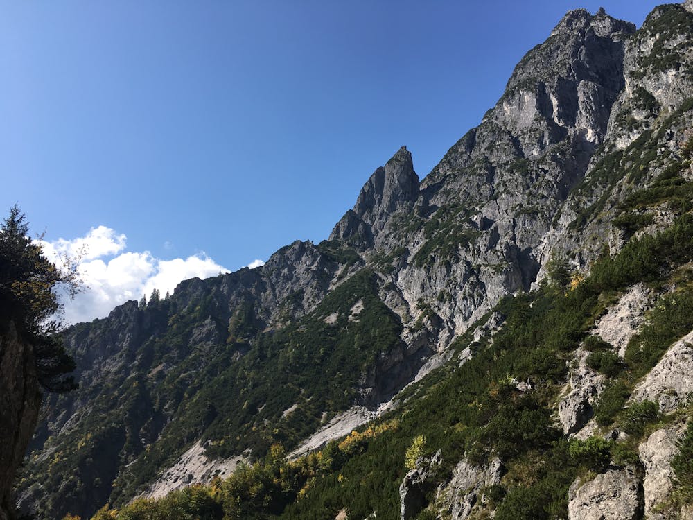
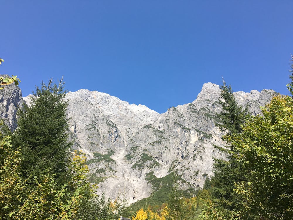
This scenic hike starts in the Ullachtal valley in Leogang and takes you through the forest along a stream, over some rocky sections with beautiful views to the valley, and finally up to the Birnbachloch, one of the lowest glaciers in Europe.
- •
- •
- •
- •
- •
- •
Description
The Glacier was once used to fill the ice cellars of Munich's famous beer halls. Ice was cut from the glacier and transported down the mountain using a system of wooden sleds and rails. Some parts of the old system are still visible along the way.
The "Loch" (cave) is a large opening in the side of the mountain that leads to a large underground lake, which rumour has it is "un-explorable".
Difficulty
Moderate
Hiking along trails with some uneven terrain and small hills. Small rocks and roots may be present.
Extreme Exposure

Some trail sections are extremely exposed where falling will almost certainly result in serious injury or death.
Remoteness

Away from help but easily accessed.
Best time to visit
Features
- Wildlife
- Picturesque
- Water features
- Family friendly
- Forestry or heavy vegetation