10 routes · Hiking
Wonderful mountain tour in the valley of Saalbach Hinterglemm.
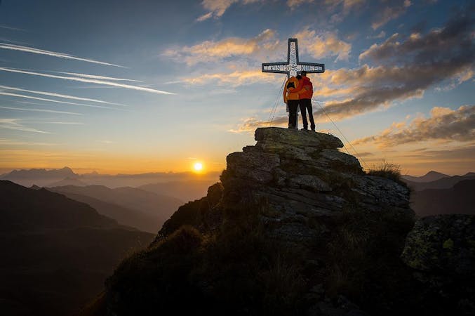
Hiking Moderate

From the Lindlingalm and past theTeufelswasser, turn left along the challenging path to Schusterscharte. Stay partly along the ridge and along the slopes to the Hochtor. Here the path winds up to the Devil's Jump and over the promising Ridge to Gamshag. As a descent route, you can take the well-marked trail over the Saaljoch back to the starting point.
Moderate
Hiking along trails with some uneven terrain and small hills. Small rocks and roots may be present.
10 routes · Hiking