10 routes · Hiking
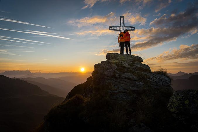
Demanding hike to the highest mountain of the valley.
Hiking Moderate

But also a fairly strenuous hike along the mountain ridge over some mountain peaks to the Geissstein. At the beginning you have the view of the village Saalbach Hinterglemm and later the Vogelalpgraben as well as the Salzachtal, The Hohentauern, Kitzbüheler Horn, Wilder Kaiser, Watzmann, Hochkönig can be seen from here
Moderate
Hiking along trails with some uneven terrain and small hills. Small rocks and roots may be present.
10 routes · Hiking