7.1 km away
Niederer Rumpler
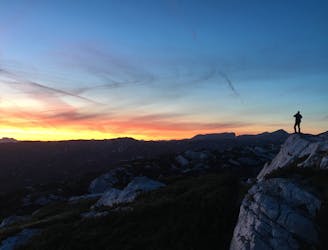
Hike to an exposed point above the Gjald Alm Hut.
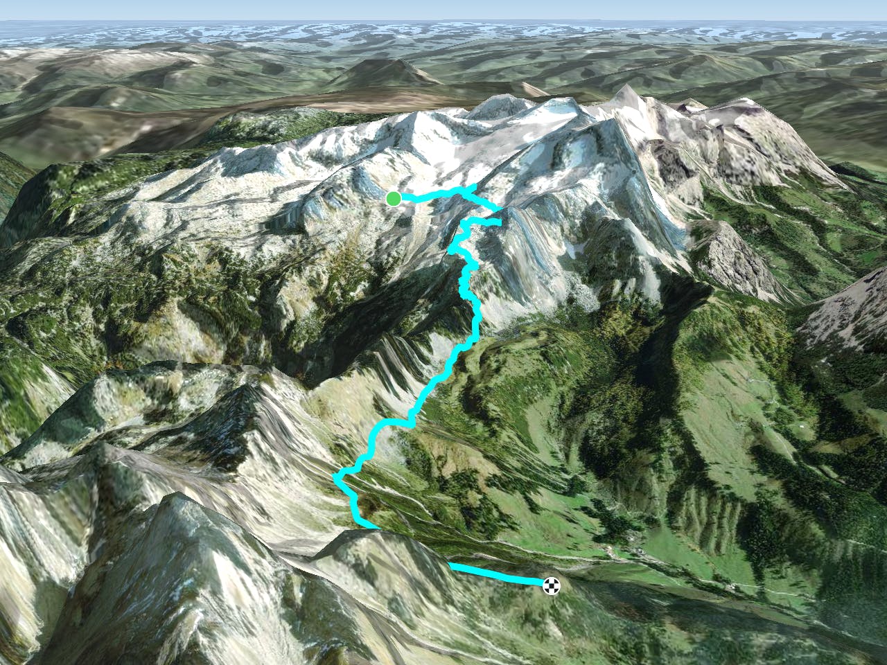
Severe Hiking
- Distance
- 4.3 km
- Ascent
- 283 m
- Descent
- 283 m
A very beautiful, but not completely harmless path, which requires high alpine equipment, a head for heights and good physical condition.
Also in Oberösterreich, Austria
Hiking Severe
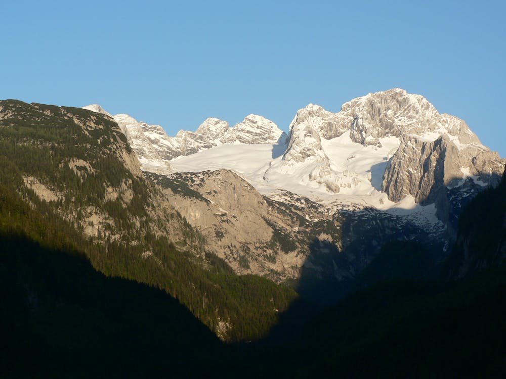
From the Adamekhütte the path leads across the glacier cliffs and moraines to the opposite side of the Gletscherkares. The path leads downhill at first, then changes to the rock ramp and leads uphill again. It crosses below the ice charlot peak and the high boiler head, whereby the route is partly provided with safety ropes. The trail leads to the Reißgangsattel and through the very steep Reißgangschlucht, which can also be snow-covered in summer. After overcoming this danger place one has put back approx. 5 hours. The last hour the way leads relatively comfortably up to the Hofp?rgelhütte. Before starting this fastidious route you procure yourselves a special alpine moving guide! "Hiking maps to the Dachstein Salzkammergut region order ... https://www.dachstein-panorama.at/?s=pano68545&utmsource=tourdata&utmmedium=textlink&utmcampaign=tourdata360tour" https://www.dachstein-panorama.at/?s=pano68545&utmsource=tourdata&utmmedium=textlink&utmcampaign=tourdata360tour "To the 360° panorama tour through the Gosau valley ....http://dachstein.salzkammergut.at/kartenbestellung: "Mountain rescue: 140
Severe
Hiking challenging trails where simple scrambling, with the occasional use of the hands, is a distinct possibility. The trails are often filled with all manner of obstacles both small and large, and the hills are very steep. Obstacles and challenges are often unexpected and can be unpredictable.
7.1 km away
Hike to an exposed point above the Gjald Alm Hut.
Severe Hiking