10 routes · Hiking
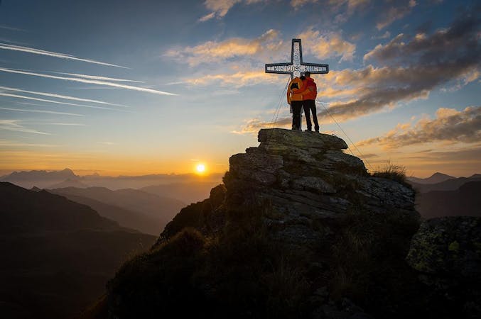
Unique view from the Manlitzkogel
Hiking Moderate

This is a popular hiking route which is generally considered to be moderate. It's an unknown remoteness, it features unknown exposure and is typically done in an unknown time of year. From a low point of 1.9 km to the maximum altitude of 2.1 km, the route covers 3.5 km, 324 vertical metres of ascent and 177 vertical metres of descent.
Take the Zwölferkogelbahn cable car up to the mountain station. Very varied mountain hike with steeper ascents on the High Penhab and Manlitzkogel. Panoramic ridge walks as well as diverse rock-steeped descents Finally, a small piece of forest road to the middle station.
Moderate
Hiking along trails with some uneven terrain and small hills. Small rocks and roots may be present.
10 routes · Hiking