Rundweg Loosbühelalm - Gründegg - Trögseen
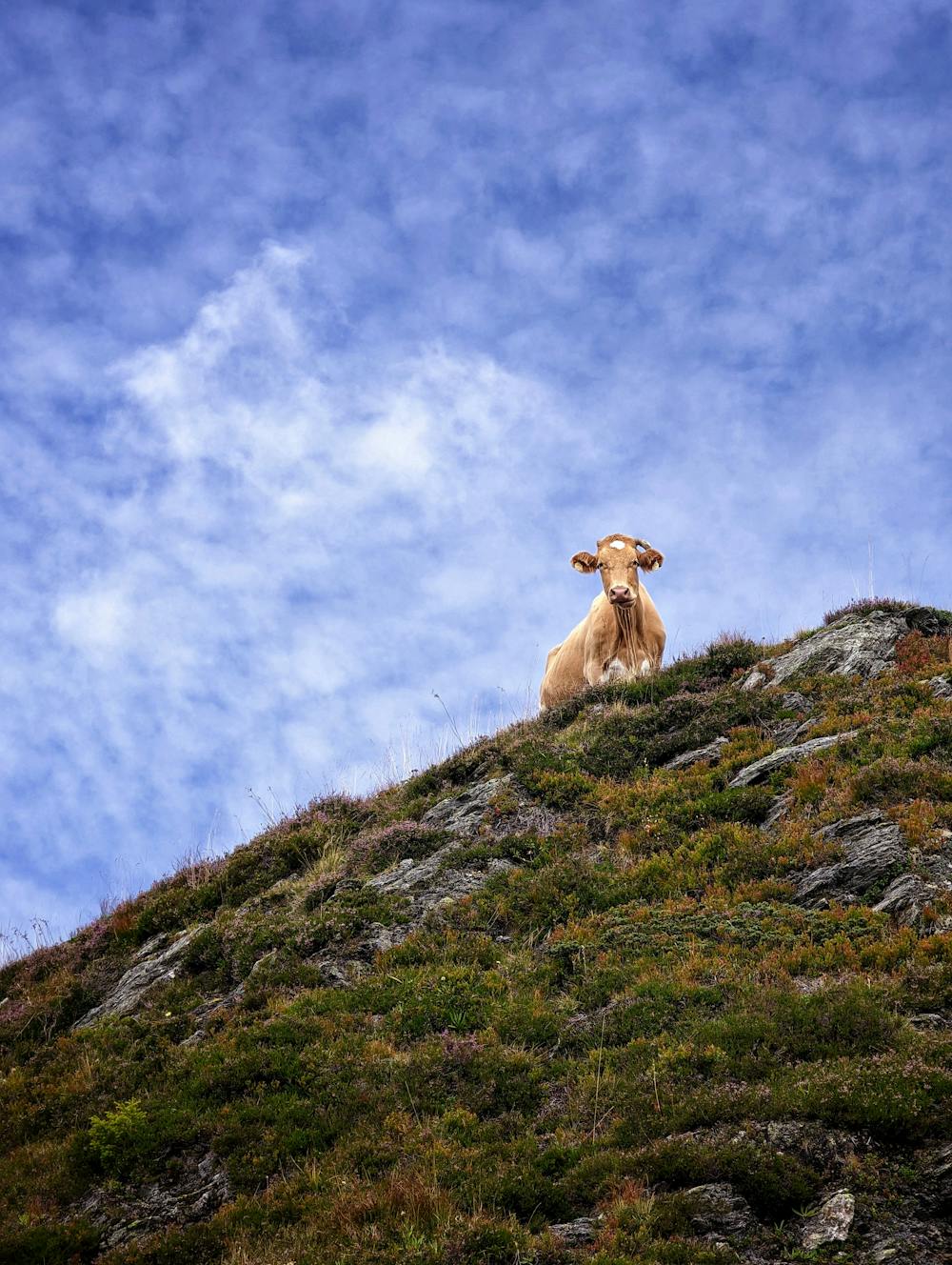
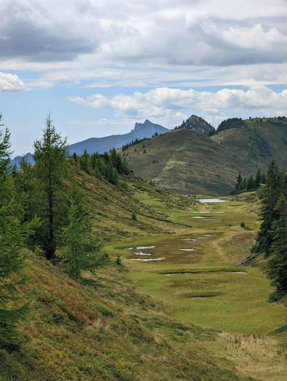
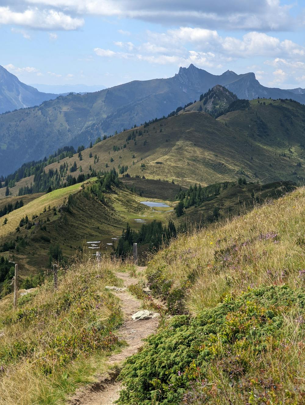
Wunderschöne Almrunde mit Gipfel und Bergseen
Hiking Difficult
- Distance
- 9.4 km
- Ascent
- 557 m
- Descent
- 557 m
- Duration
- 2-3 hrs
- Low Point
- 1.7 km
- High Point
- 2.2 km
- Gradient
- 13˚

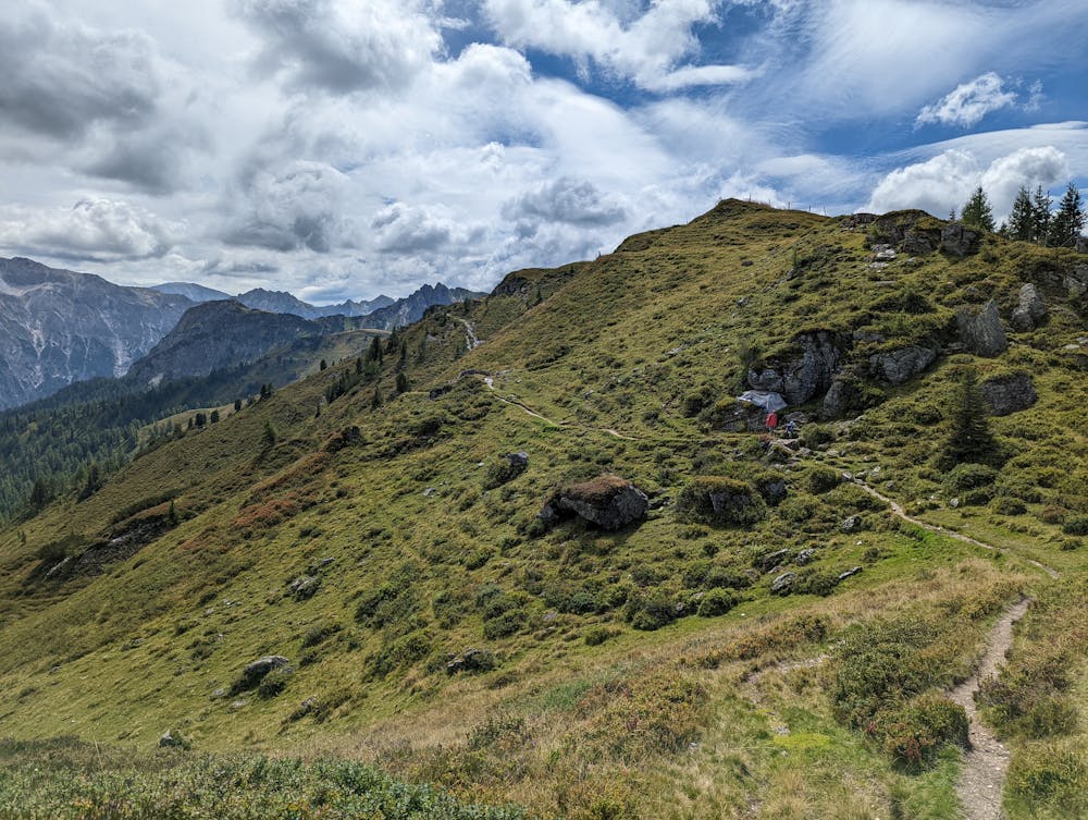
This is a popular hiking route which is generally considered to be difficult. It's remote, it features medium exposure and is typically done between June and September. From a low point of 1.7 km to the maximum altitude of 2.2 km, the route covers 9.4 km, 557 vertical metres of ascent and 557 vertical metres of descent.
- •
- •
- •
- •
- •
- •
- •
Description
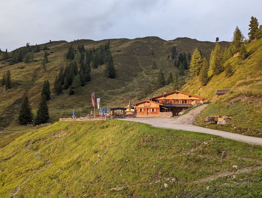
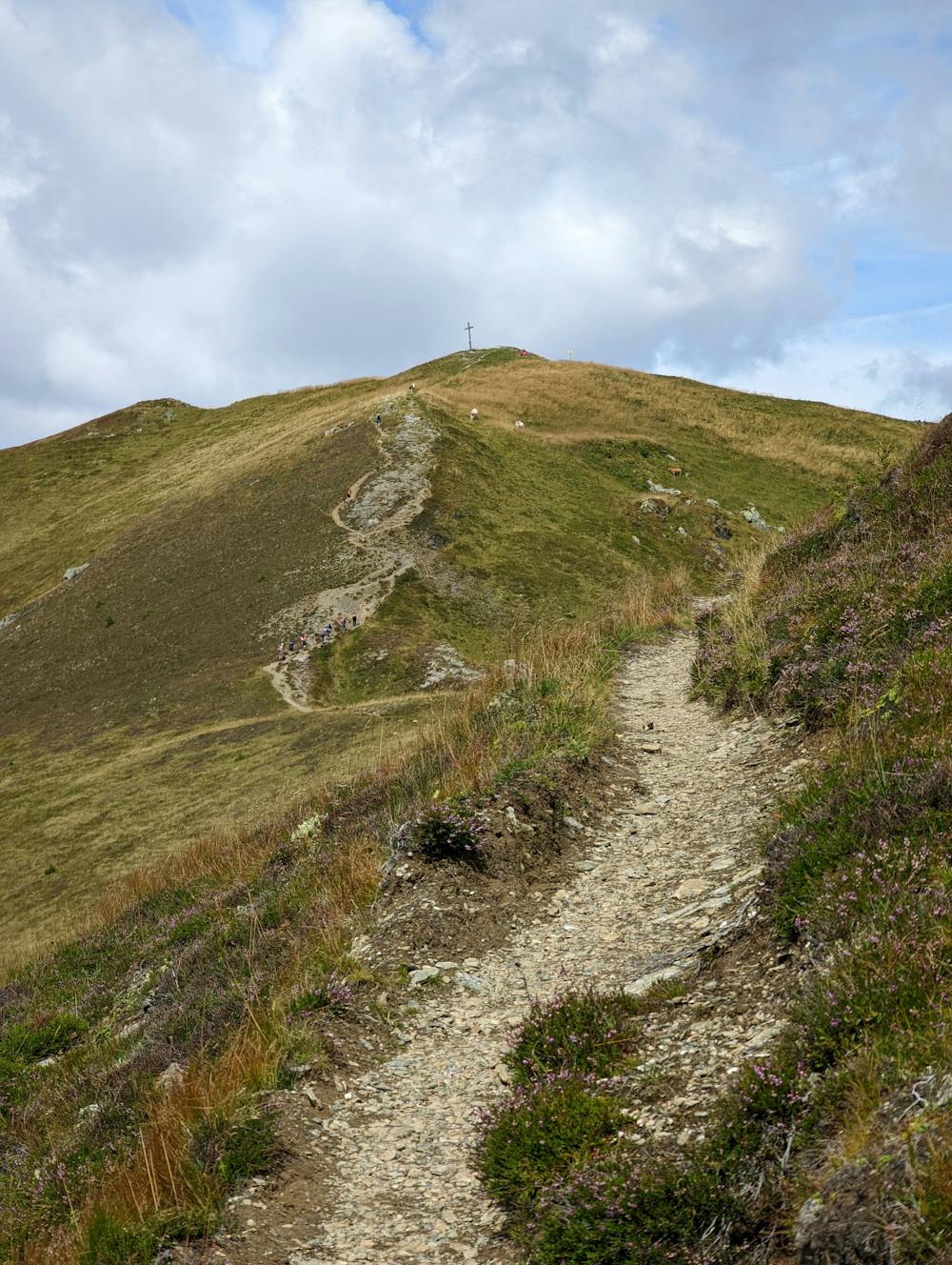
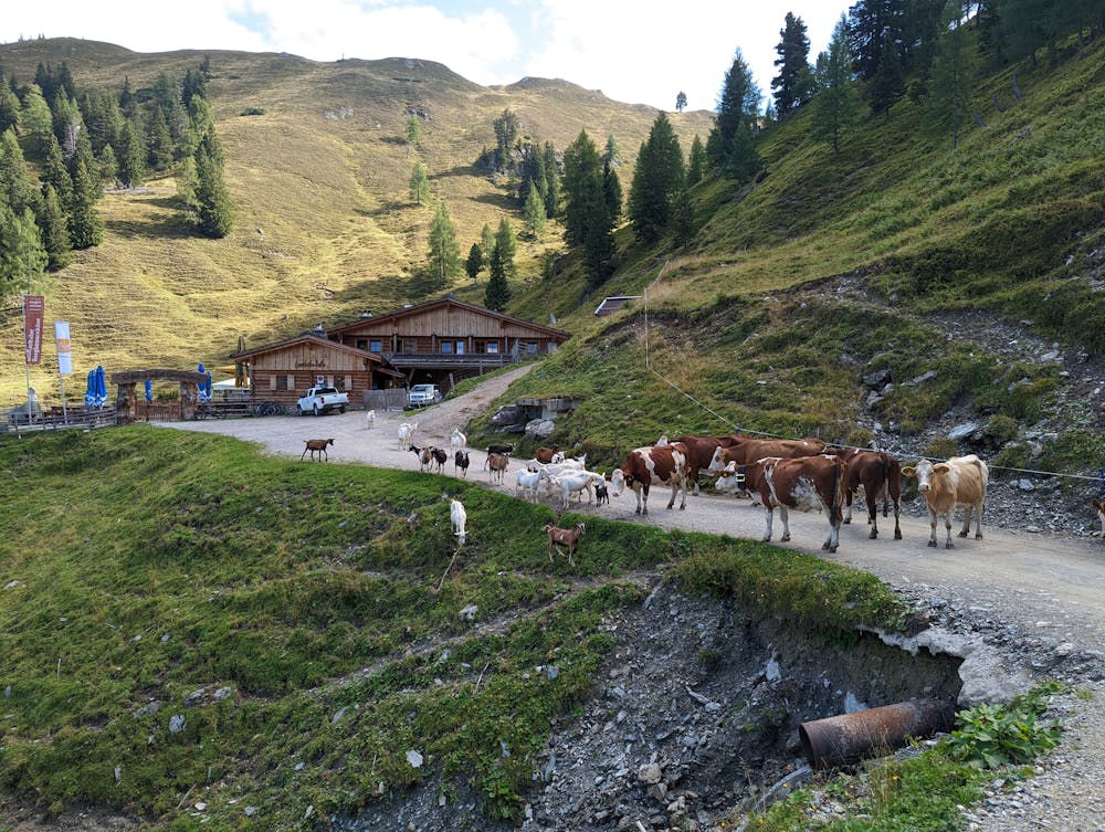
Von der Loosbühelalm geht es über Wiesen zum Gipfel Gründegg (2168m). Von dort zu den Trögseen. Abschließend geht es über die Ellmaualm und Weißalm wieder retour zum Ausgangspunkt. Tageswanderung für die motivierte Familie geeignet.
Difficulty
Difficult
Hiking trails where obstacles such as rocks or roots are prevalent. Some obstacles can require care to step over or around. At times, the trail can be worn and eroded. The grade of the trail is generally quite steep, and can often lead to strenuous hiking.
Medium Exposure

The trail contains some obstacles such as outcroppings and rock which could cause injury.
Remoteness
Away from help but easily accessed.
Best time to visit
Features
- Picturesque
- Summit Hike
- Wild flowers
- Family friendly