Schober and Frauenkopf
Round tour from Wartenfels parking that takes in Schober and Frauenkopf
Hiking Easy
- Distance
- 2.8 km
- Ascent
- 385 m
- Descent
- 388 m
- Duration
- 1-2 hrs
- Low Point
- 916 m
- High Point
- 1.3 km
- Gradient
- 22˚

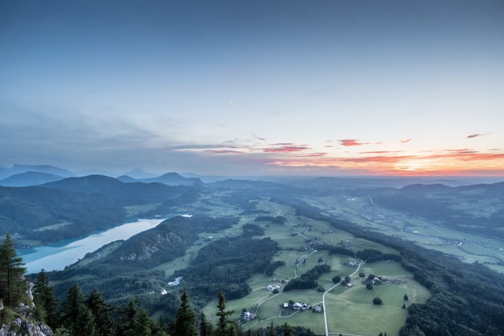
A real classic short hike in the picturesque destination of Fuschl am See, Salzburgerland.
- •
- •
- •
Description
This hike is do-able also from the village, but the quickest way is to drive up to the parking at Wartenfels and begin from there.
Five minutes from the parking you'll pass some historic ruins of a monastery and then begin the steep ascent up to the summit.
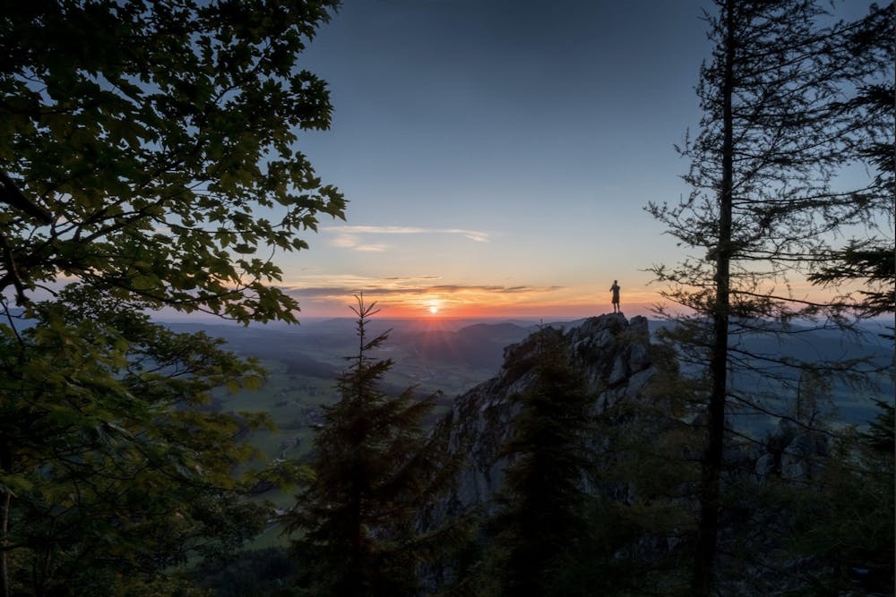
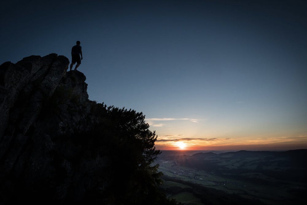
Although no safety gear is required, caution is advised on the last steep and exposed section up to the gipfel.
From the top of Schober, follow the ridge across to Frauenkopf, and then the zig-zag trail back down to the parking.
Becuase of it's position above the lakes of Fuschl and Mondsee, and the 360 views from the top, it is a great hike for a sunrise or sunset.
Difficulty
Easy
Walking along a well-kept trail that’s mostly flat. No obstacles are present.
Medium Exposure

The trail contains some obstacles such as outcroppings and rock which could cause injury.
Remoteness

Close to help in case of emergency.
Best time to visit
Features
- Alpine
- Wildlife
- Historical
- Picturesque
- Summit Hike
- Dog friendly
- Wild flowers
- Water features
- Family friendly
- Forestry or heavy vegetation