Weg auf den Donnerkogel
Dachstein Salzkammergut
The tour takes about two hours from the mountain station of the Gosaukammbahn to the summit.
Hiking Difficult
- Distance
- 2.1 km
- Ascent
- 527 m
- Descent
- 23 m
- Duration
- 1-2 hrs
- Low Point
- 1.5 km
- High Point
- 2 km
- Gradient
- 21˚

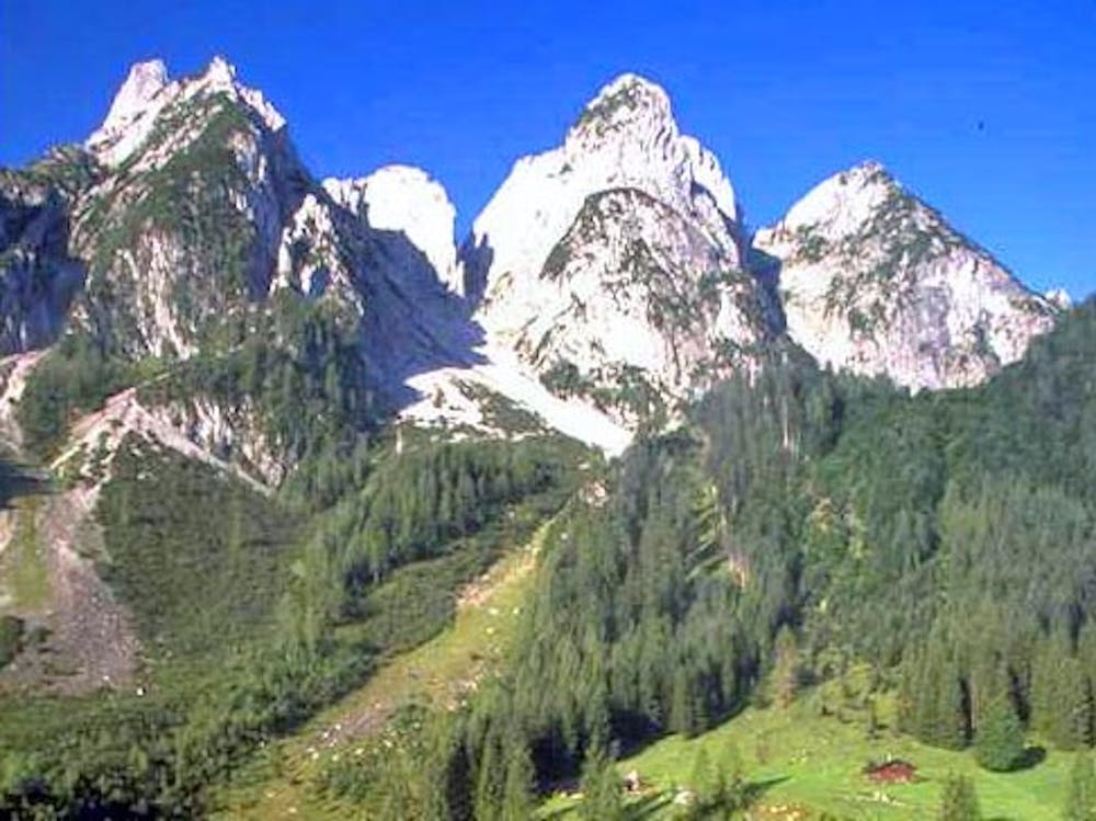
The path leads us past the Gablonzerhütte to the incision between the Kleiner Donnerkogel and the Törleck, shortly after which we come to a fork in the path. The right path leads us on the Austriaweg to the Stuhlalm. To the left we continue to Donnerkogel. We cross green alders and mountain pines, walk over rocky slabs, boulders, steep rocky steps and through a short gorge towards the summit. The last part of the way leads over a terrain with a lot of traffic and is more comfortable to walk on again. In 1956 the backside of the Donnerkogel was the scene of a huge fire. The bare rocks with the charred residues show us that the scars of the catastrophe have not healed to this day. The accident reminds us that smoking in the woods (including the mountain pine region) is not only forbidden, but also highly irresponsible and dangerous. https://www.dachstein-panorama.at/?s=pano68582&utmsource=tourdata&utmmedium=textlink&utmcampaign=tourdata360tour" https://www.dachstein-panorama.at/?s=pano68582&utmsource=tourdata&utmmedium=textlink&utmcampaign=tourdata360tour "To the 360° panorama tour through the Gosau valley ...Mountain rescue: 140
Difficulty
Difficult
Hiking trails where obstacles such as rocks or roots are prevalent. Some obstacles can require care to step over or around. At times, the trail can be worn and eroded. The grade of the trail is generally quite steep, and can often lead to strenuous hiking.