Weg von der Zwieselalm zur Stuhlalm
Dachstein Salzkammergut
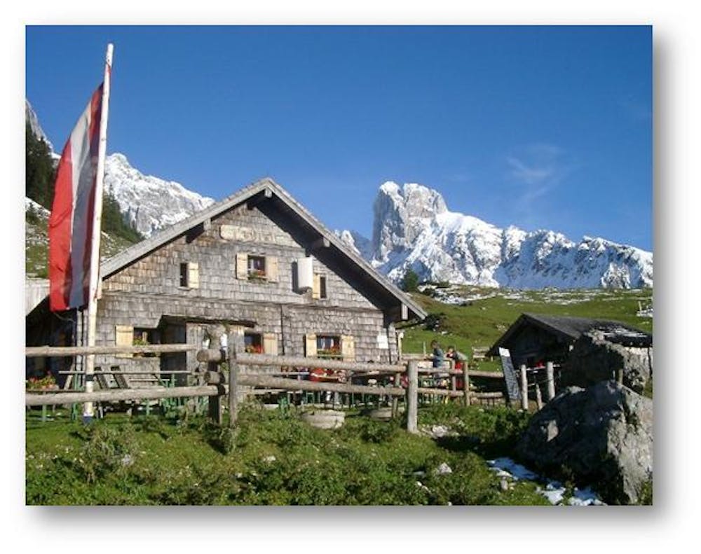
A popular hiking destination on the Gosaukamm.
Hiking Difficult
- Distance
- 4 km
- Ascent
- 207 m
- Descent
- 219 m
- Duration
- 1-2 hrs
- Low Point
- 1.4 km
- High Point
- 1.6 km
- Gradient
- 9˚

We start at the top station of the Gosaukammbahn. The path continues towards Gablonzerhütte and then turns left and follows the slope up to Törlecksattel (between Kleinen Donnerkogel and Törleck). Afterwards the slopes of the Kleinen and Großen Donnerkogel as well as the Strichkogel are crossed. Shortly before the Stuhlalm you can see the Bischofsmütze for the first time. "Order hiking maps of the Dachstein Salzkammergut region ... https://www.dachstein-panorama.at/?s=pano68545&utmsource=tourdata&utmmedium=textlink&utmcampaign=tourdata360tour" https://www.dachstein-panorama.at/?s=pano68545&utmsource=tourdata&utmmedium=textlink&utmcampaign=tourdata360tour "To the 360° panorama tour through the Gosautal ...mountain rescue: 140
Difficulty
Difficult
Hiking trails where obstacles such as rocks or roots are prevalent. Some obstacles can require care to step over or around. At times, the trail can be worn and eroded. The grade of the trail is generally quite steep, and can often lead to strenuous hiking.