5.4 km away
Blue Line
An easy trail to start with in Hinterglamm area!
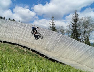
Difficult Mountain Biking
- Distance
- 2.8 km
- Ascent
- 0 m
- Descent
- 428 m
A route top to bottom, connecting two amazing flow trails!
Mountain Biking Moderate

You can find endless trails in this area, which is the largest bike region in Austria, but this line is worth a try, no matter your riding level! Everyone can ride on these two amazing trails and - as the name says - enjoy the beautiful landscapes on top.
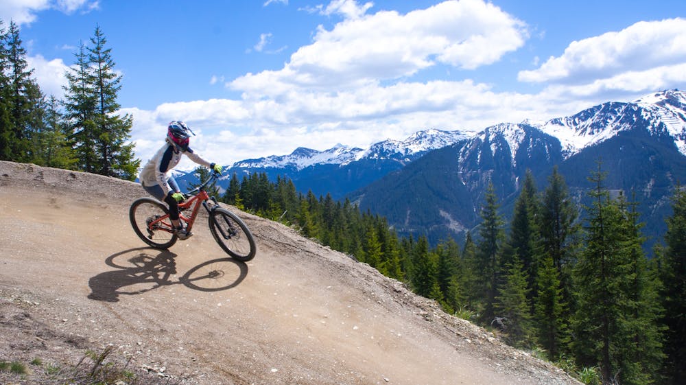
Starting from the village of Saalbach, a tiny village surrounded by mountains that offer amazing skiing in winter and many different outdoor activities in summer, with the Kohlmaisbahn lift you’ll reach the top of the mountain in no time, flying over beautiful huts, woods, and meadows. The top station - besides being the start of the Panorama trail - is also the place where different hikes start. It is worth investing few minutes in checking out the surrounding landscape, while cooling down in the chilly breeze. The nearby mountains - especially if you are riding here in the early summer - are probably still snowcapped, offering many different colors from the white tops, to the very green color down in the valley.
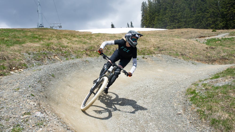
Time to drop into the Panorama trail, which starts on the rider’s left of the gondola. This trail is perfectly maintained and offers really well-shaped berms, small jumps, and doubles. The Panorama Alm is located halfway in between the top and mid-station, and it’s the perfect spot to have a break for a coffee, a meal, a beer - or all of them at once!
From mid-station on, you will ride the Monti Trail: another perfect flow trail with a small jump line at the beginning. The tables of these jumps make it possible to just roll them.
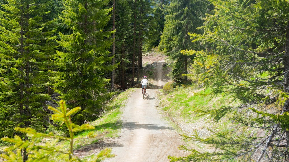
Once at the bottom, you will definitely want to ride it again! But remember - there are other amazing trails in the area as well. Better try them all!
Moderate
Mostly stable trail tread with some variability, with unavoidable obstacles 8in/20cm tall or less. Other obstacles such as rock gullies and steep sections may exist. Ideal for lower intermediate riders.

The path is on completely flat land and potential injury is limited to falling over.
Close to help in case of emergency.
5.4 km away
An easy trail to start with in Hinterglamm area!
Difficult Mountain Biking