Königsstuhl Nordrinne
Schönfeld – Thomatal
Nice north face descend not to long but still worth it
Ski Touring Moderate
- Distance
- 10 km
- Ascent
- 640 m
- Descent
- 638 m
- Duration
- 4-5 hrs
- Low Point
- 1.7 km
- High Point
- 2.3 km
- Gradient
- 50˚
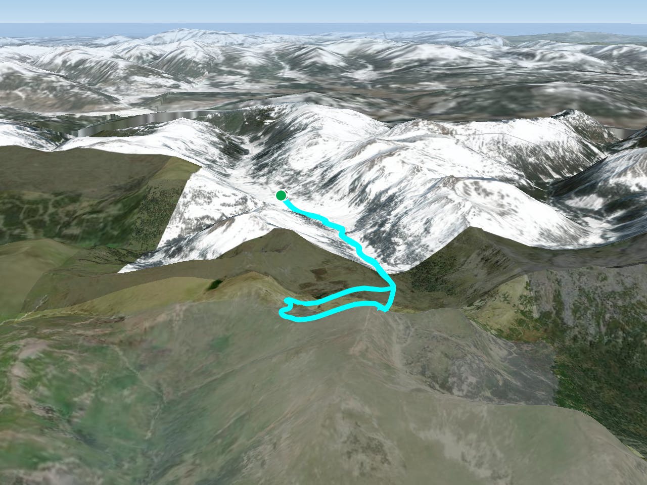
This is a popular ski touring route which is generally considered to be moderate. It's remote, it features medium exposure (e2) and is typically done between November and December. From a low point of 1.7 km to the maximum altitude of 2.3 km, the route covers 10 km, 640 vertical metres of ascent and 638 vertical metres of descent. It's graded 3.3 and Labande grade 4.
Description
nice couloir
Difficulty
Moderate
Slopes become slightly steeper at around 25-30 degrees.
Medium Exposure (E2)

As well as the slope itself, there are some obstacles (such as rock outcrops) which could aggravate injury.
Remoteness
Away from help but easily accessed.
Best time to visit
Features
- Single Descent