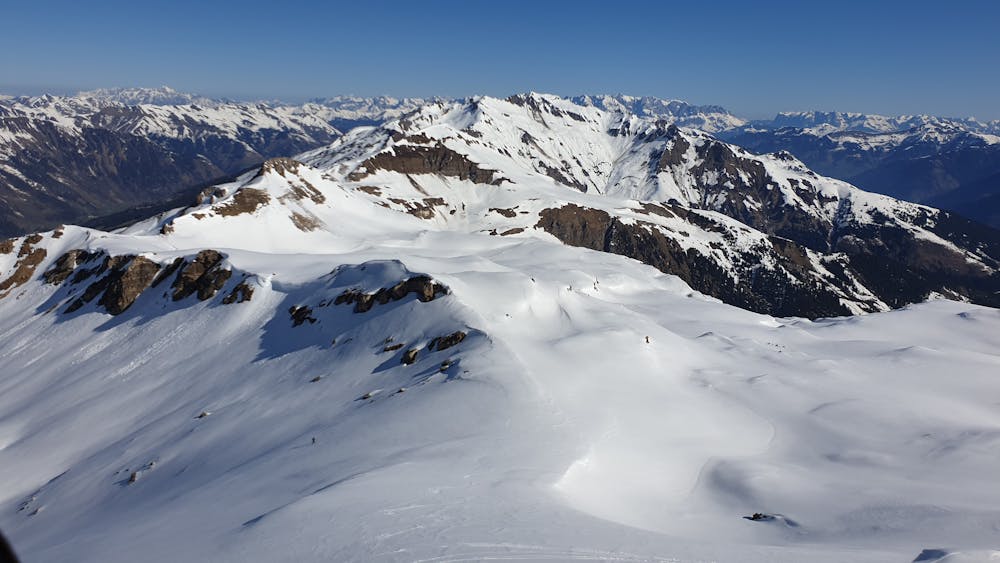
Silberpfennig und Kolmkarspitz
Amazing tour in the South of Salzburg
Ski Touring Difficult
- Distance
- 16 km
- Ascent
- 1.4 km
- Descent
- 1.5 km
- Duration
- 7-8 hrs
- Low Point
- 1.6 km
- High Point
- 2.6 km
- Gradient
- 26˚

This is a popular ski touring route which is generally considered to be difficult. It's remote, it features low exposure (e1) and is typically done between January and May. From a low point of 1.6 km to the maximum altitude of 2.6 km, the route covers 16 km, 1421 vertical metres of ascent and 1496 vertical metres of descent. It's graded 2.1 and Labande grade 3. You'll need skins to complete it safely.
- •
- •
- •
- •
- •
Description
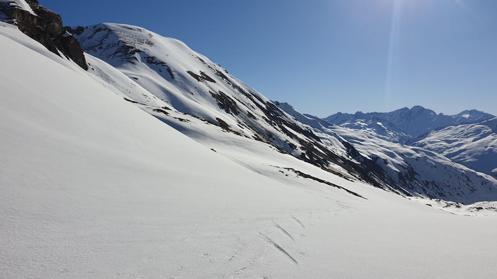
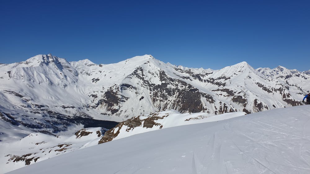
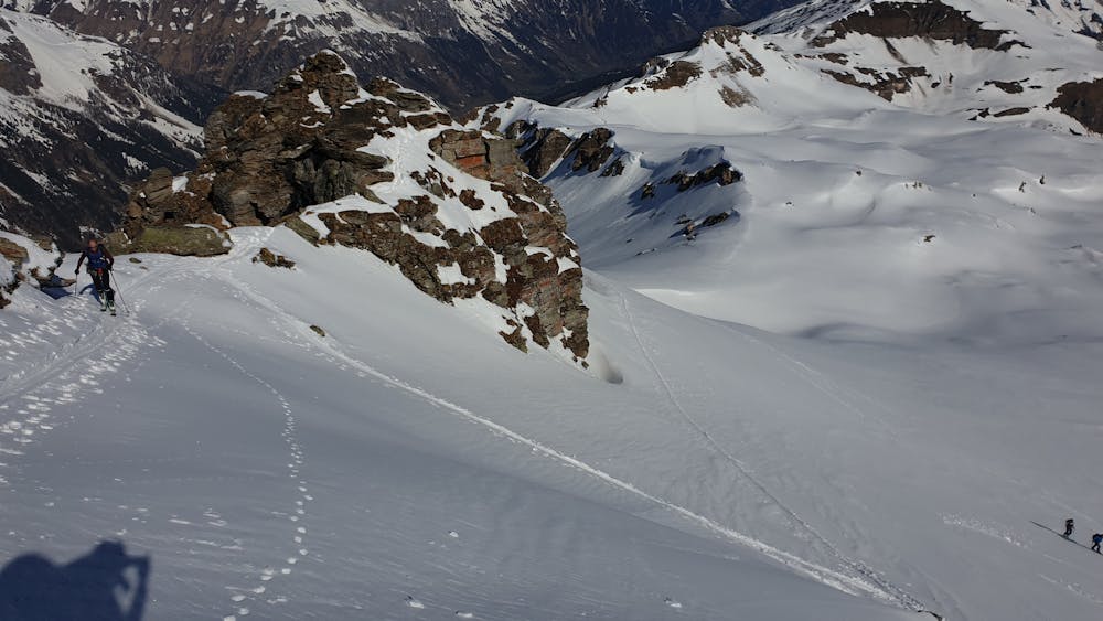
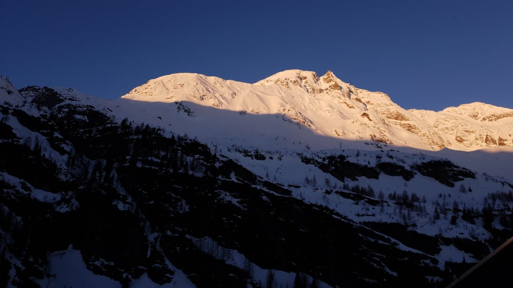
Awesome tour with view to Sport Gastein and Hohen Sonnblick. Pretty remote. Ammererhof is a good place to sleep and to start the tour early. Best time is in the spring.
Difficulty
Difficult
Serious gradient of 30-38 degrees where a real risk of slipping exists.
Low Exposure (E1)

Exposure is limited to that of the slope itself. Getting hurt is still likely if the slope is steep and/or the snow is hard.
Remoteness

Away from help but easily accessed.
Best time to visit
Equipment required
- Skins