Greifenberg Round Tour
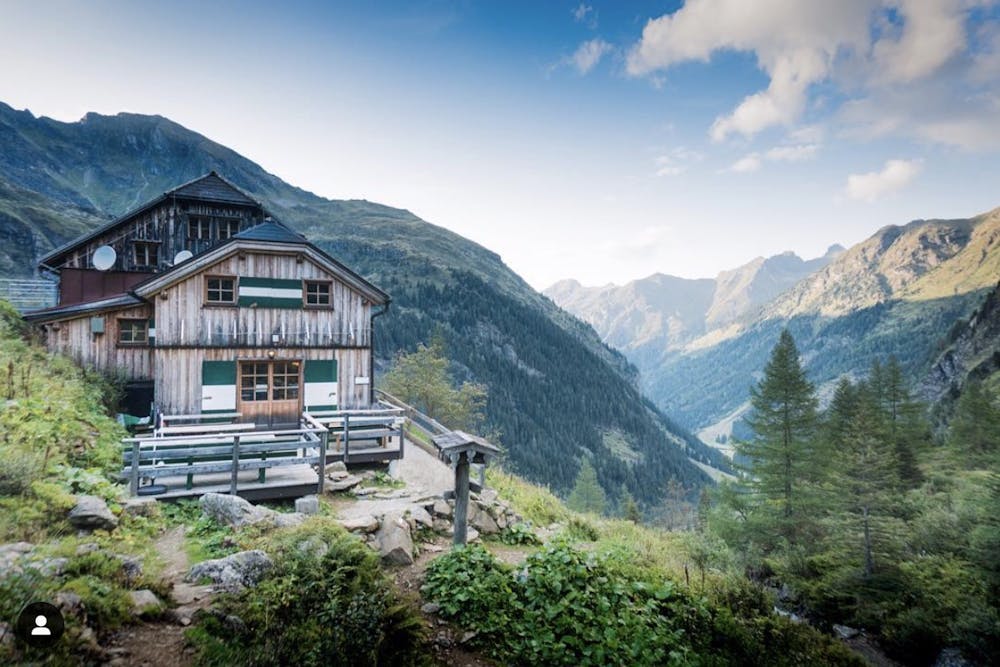
Long round hiking tour with a number of peaks and huts
Hiking Moderate
- Distance
- 21 km
- Ascent
- 1.6 km
- Descent
- 1.6 km
- Duration
- 6-7 hrs
- Low Point
- 1.1 km
- High Point
- 2.6 km
- Gradient
- 22˚

This is a popular hiking route which is generally considered to be moderate. It's an unknown remoteness, it features unknown exposure and is typically done between June and August. From a low point of 1.1 km to the maximum altitude of 2.6 km, the route covers 21 km, 1613 vertical metres of ascent and 1610 vertical metres of descent.
- •
- •
- •
- •
- •
- •
- •
Description
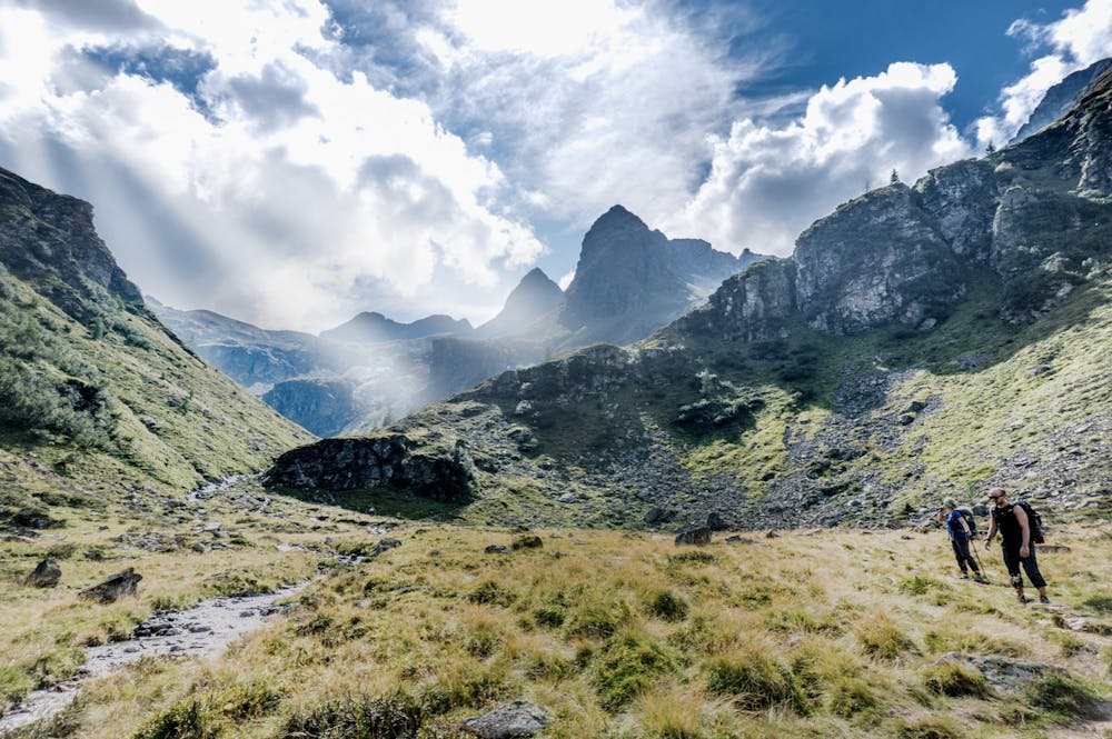
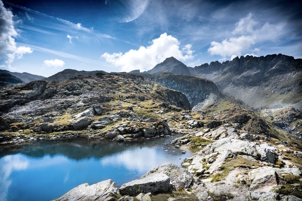
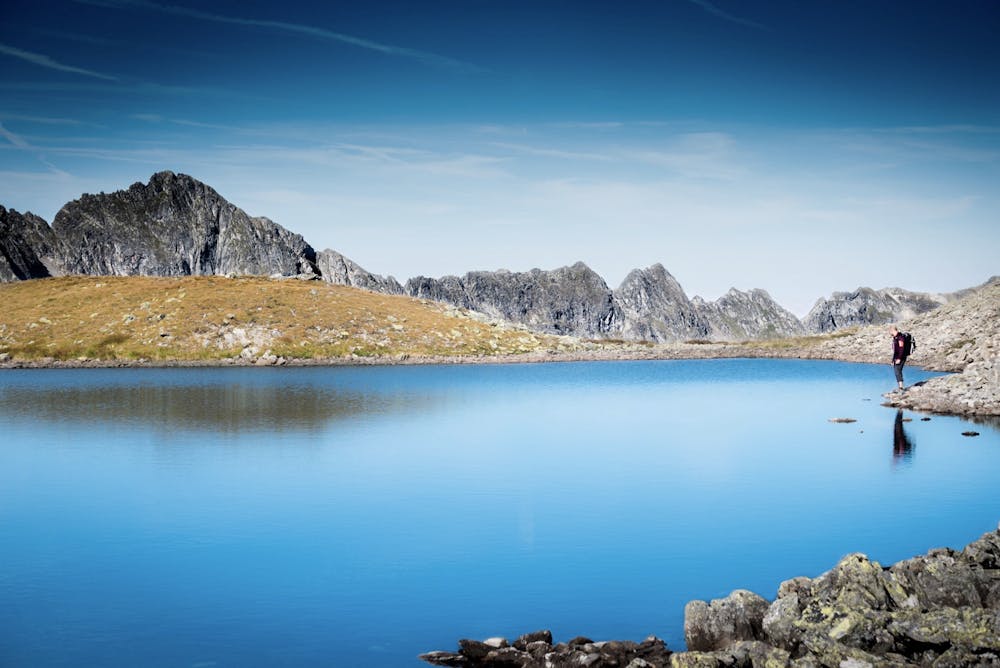
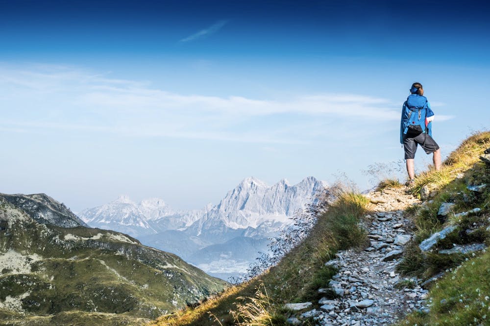
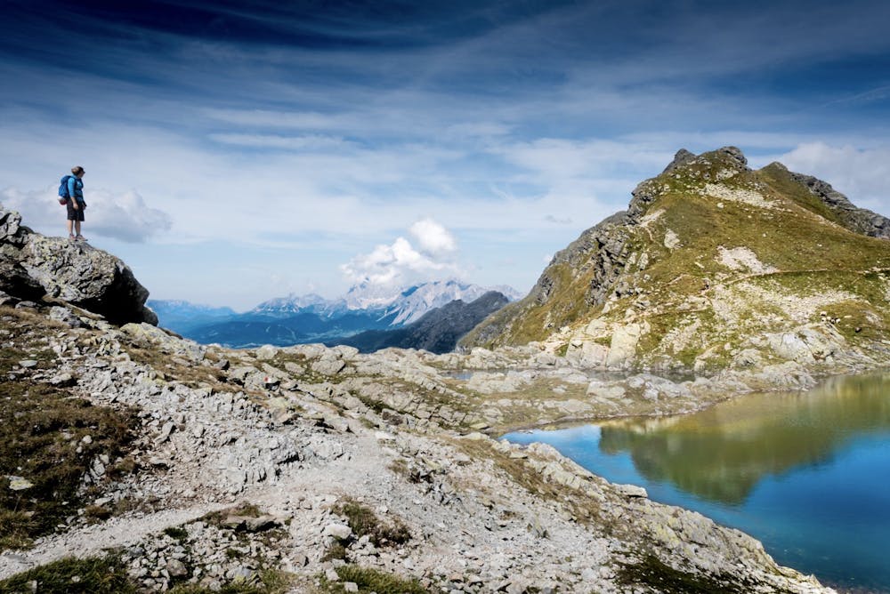
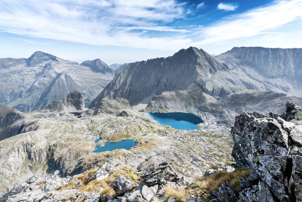
Take in the incredible Austrian alpine landscape in this long round tour.
Difficulty
Moderate
Hiking along trails with some uneven terrain and small hills. Small rocks and roots may be present.
Best time to visit
Features
- Alpine
- Picturesque
- Summit Hike