Hochschwab Mountains by Thomas Friedrich
Reach the top of Hochschwab via the Ghacktes grass slope.
Hiking Moderate
- Distance
- 7.3 km
- Ascent
- 1.4 km
- Descent
- 20 m
- Duration
- 3-4 hrs
- Low Point
- 878 m
- High Point
- 2.3 km
- Gradient
- 26˚

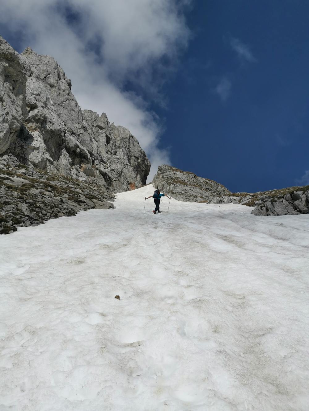
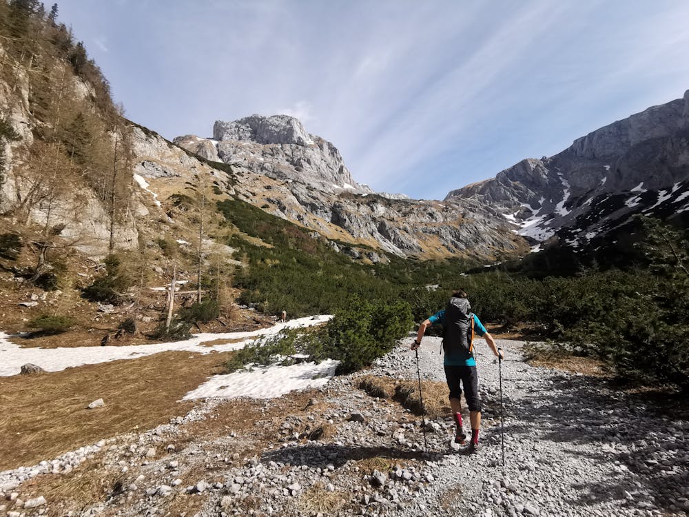
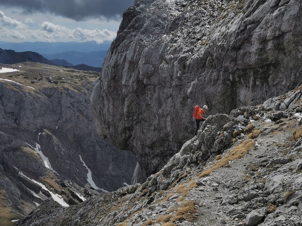
The Tour starts at the Bodenbauer Inn and goes past the charming TrawisAlm to the beginning of a steep grass slope called Ghacktes, which in turn lead to some easy climbing up some ladders and finally some steel cables.


- •
- •
- •
- •
- •
- •
- •
- •
- •
- •
Description
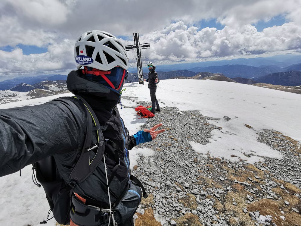
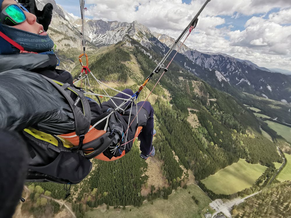
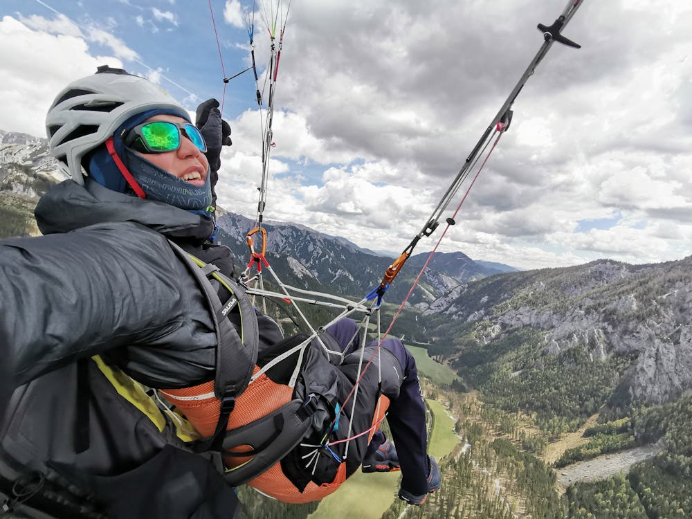
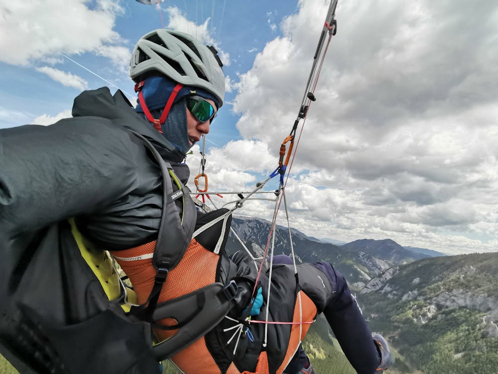
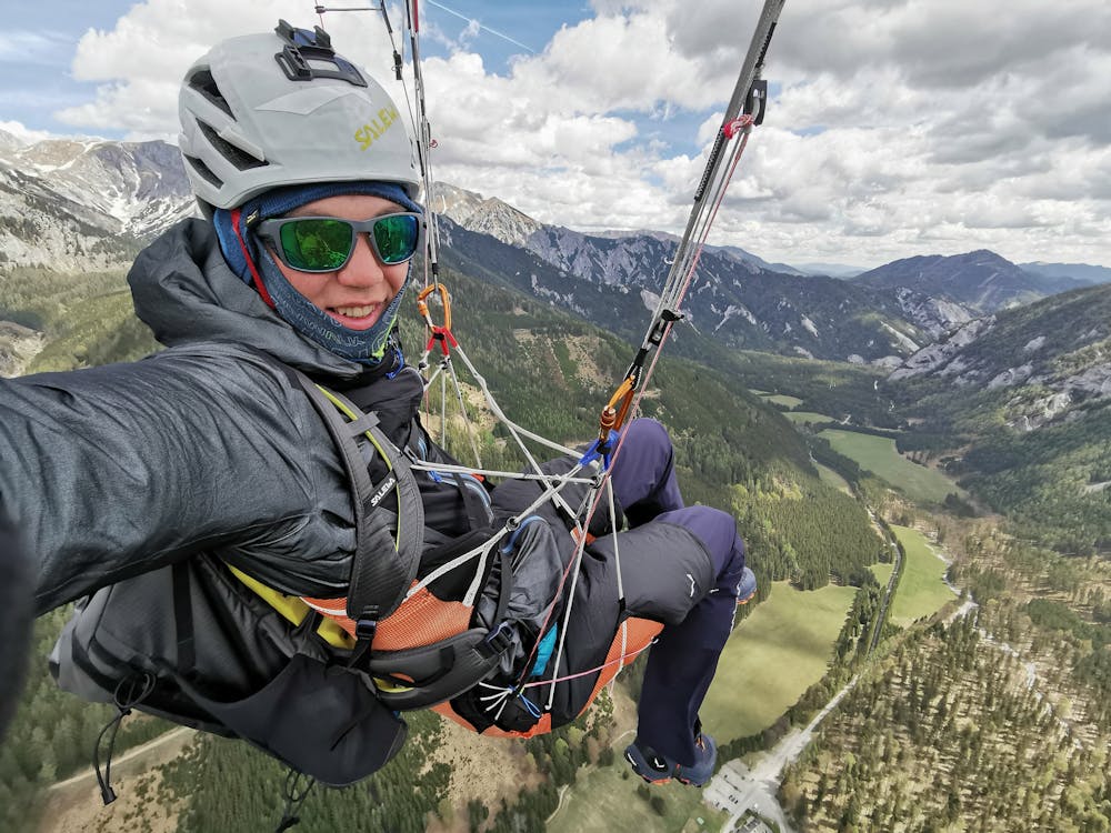
From the top of the cables it's only 15 minutes of walking to reach the summit, from where you can take off with your glider or walk down again via the Häuselalm.
Difficulty
Moderate
Hiking along trails with some uneven terrain and small hills. Small rocks and roots may be present.
Medium Exposure

The trail contains some obstacles such as outcroppings and rock which could cause injury.
Remoteness
Away from help but easily accessed.
Best time to visit
Features
- Alpine
- Picturesque
- Summit Hike