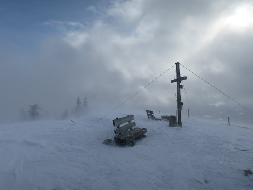
Skitour Thalerkogel (Glatzn)
Lawinensichere Waldskitour
Ski Touring Moderate
- Distance
- 7.9 km
- Ascent
- 911 m
- Descent
- 911 m
- Duration
- 4-5 hrs
- Low Point
- 772 m
- High Point
- 1.7 km
- Gradient
- 36˚

This is a popular ski touring route which is generally considered to be moderate. It's very remote, it features low exposure (e1) and is typically done between December and February. From a low point of 772 m to the maximum altitude of 1.7 km, the route covers 7.9 km, 911 vertical metres of ascent and 911 vertical metres of descent. It's graded 2.1 and Labande grade 2. You'll need skins to complete it safely.
- •
- •
- •
- •
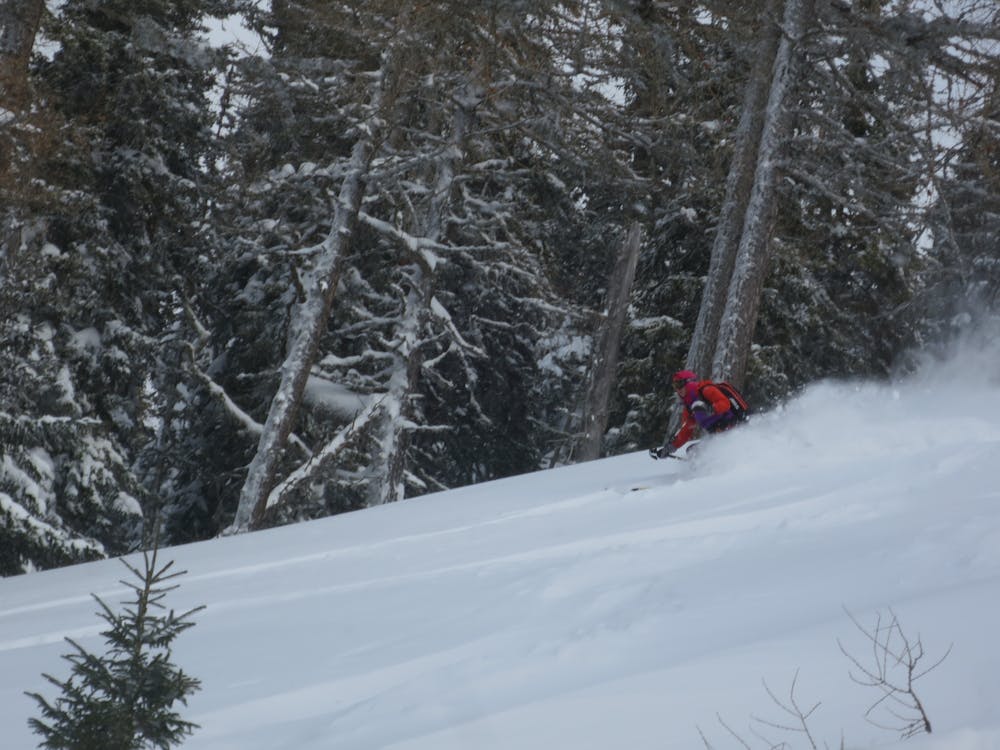
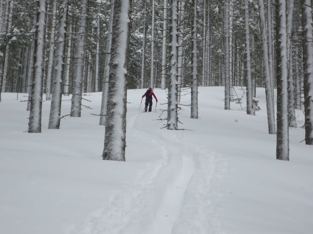
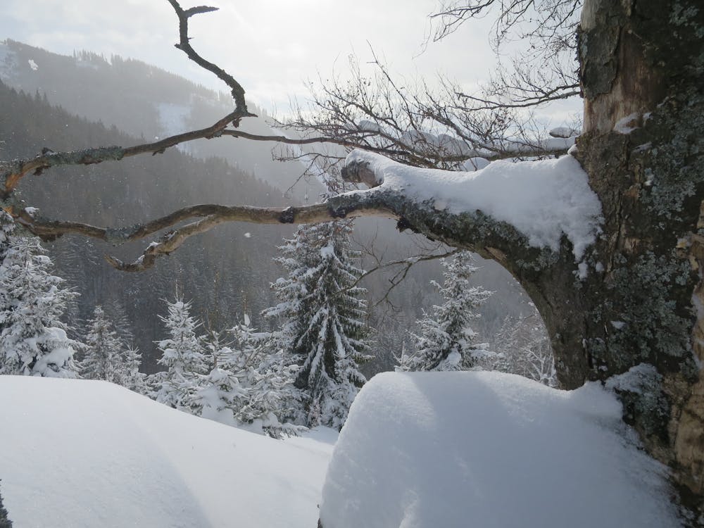
Description
Lawinensichere Waldskitour die einiges an Schnee benötigt (auch im Tal). Relativ weit herunter kann im lichten Hochwald gefahren werden.
Difficulty
Moderate
Slopes become slightly steeper at around 25-30 degrees.
Low Exposure (E1)

Exposure is limited to that of the slope itself. Getting hurt is still likely if the slope is steep and/or the snow is hard.
Remoteness

Little chance of being seen or helped in case of an accident.
Best time to visit
Features
- Tree Skiing
- Single Descent
Equipment required
- Skins