9 routes · Alpine Climbing · Hiking
A classic mountain day to one of Tirol's most famous and prominent peaks
Alpine Climbing Moderate

The Innsbrucker Hütte is the gateway to Habicht, and thus the peak is clearly signposted, advising you quite accurately that the summit takes 3 hours from the hut. The path is clear to begin with but becomes more difficult to follow as the terrain becomes more rocky and grassy, but continue looking out for the red and white paint marks which lead the way. After just over an hour the path starts to get steeper, and you will start to ascend some steps cut into the rock followed by a short section of slightly exposed slabs. The terrain is easy enough, but there is a metal cable for those not feeling 100% confident. It may be worth clipping in with a harness and slings or via ferrata lanyards for all but the most confident mountaineers.
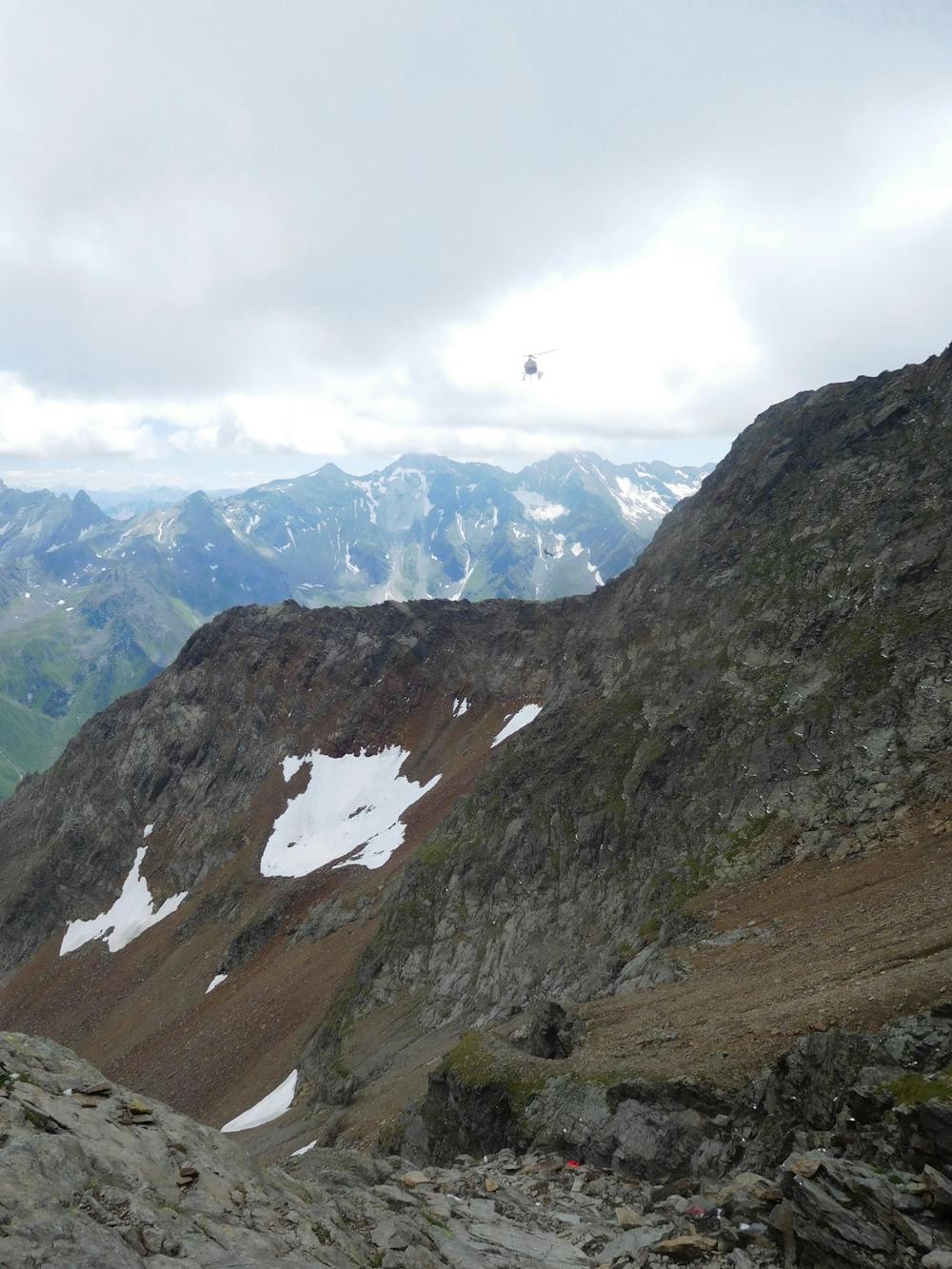
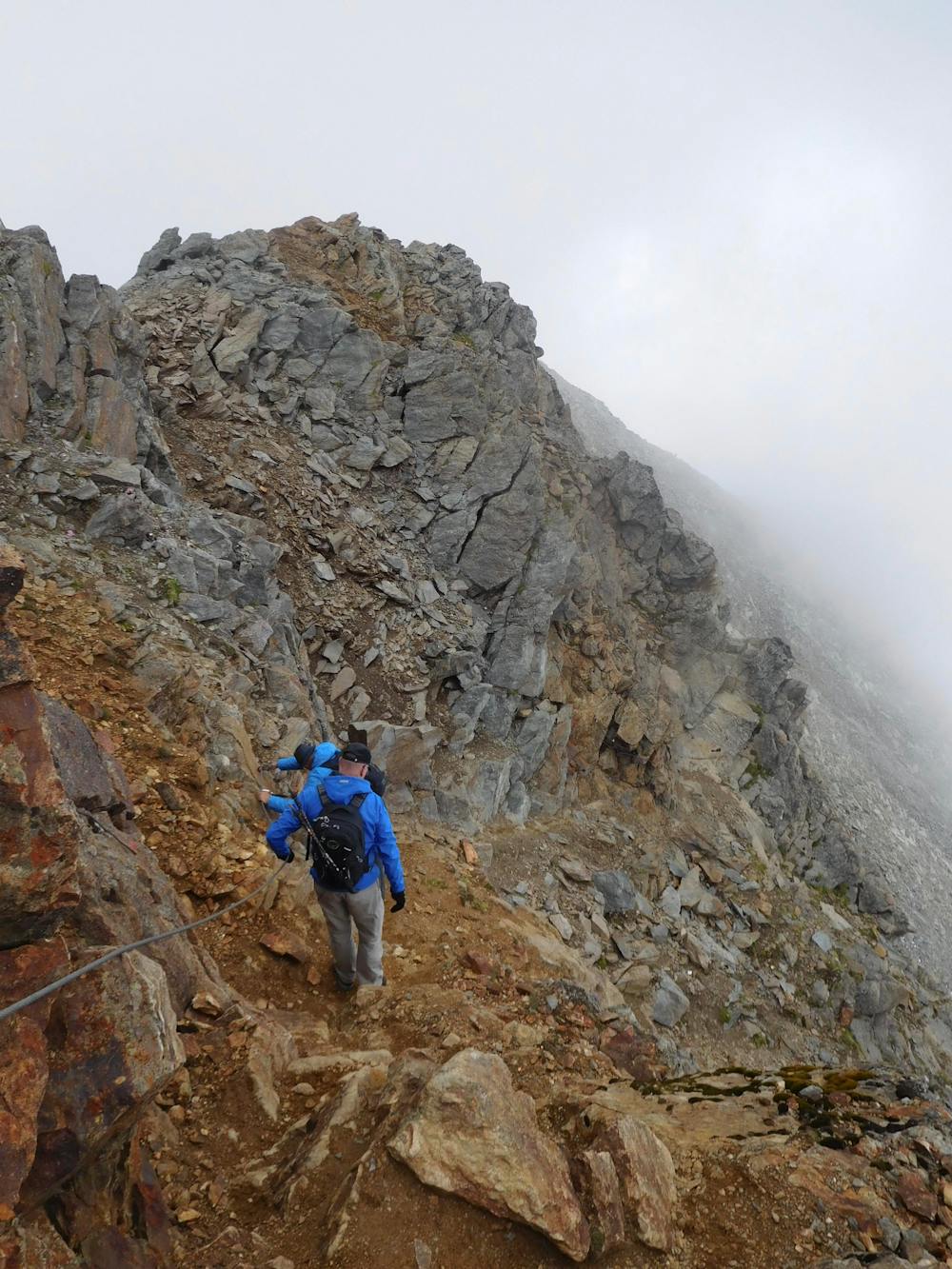
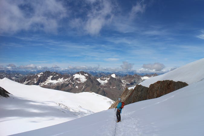
Above the slabs, continue following the numerous red and white paint marks through a number of boulder fields and up to a large snow patch to the south of the summit. The paint marks will lead you around to the right of this snow patch meaning that crampons should not be necessary except in exceptional conditions or in very early summer. Once above the snow, veer back left, and this will bring you on to the final summit ridge. Stay to the left of the crest of the ridge, up a few more boulders and rock steps, which are again protected by cables, to reach the summit itself. On a clear day the view from the top is nothing short of spectacular, with the ability to see not only the Stubai Alps, but also the Zillertal Alps to the west and the Dolomites to the south.
To descend, retrace your steps back to the Innsbrucker Hütte and from the Pinnisjoch Col (which is immediately to the left of the hut), follow the path towards the Karalm mountain hut. From here follow the clear 4x4 track to the Pinnisalm mountain hut, where a final 200m vertical ascent along a clear path will bring you to the Elferbahn cable car. Descend using this to the charming village of Neustift to finish your adventure.
Moderate
May involve slightly more complex glacier hikes, easy but possibly long rock ridges and steep snow up to 45 degrees. Equivalent to PD, PD+

The route features some exposed and/or difficult to protect sections.

Little chance of being seen or helped in case of an accident.
9 routes · Alpine Climbing · Hiking
9 routes · Alpine Climbing · Hiking