9.9 km away
Zwölferkogel North Ridge
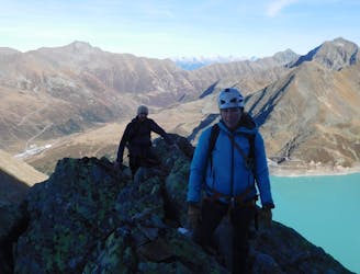
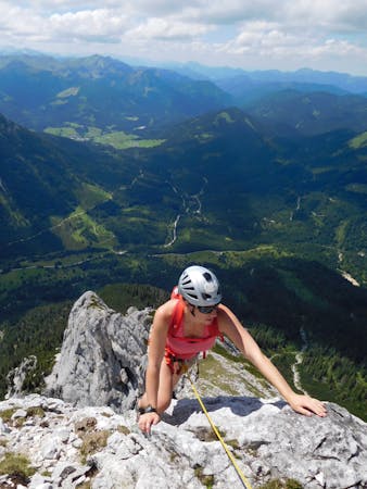
A spectacular 380 metre scramble up the north ridge of the Zwölferkogel, a peak just under 3000m in Austria’s highest ski resort.
Difficult Alpine Climbing
- Distance
- 9.2 km
- Ascent
- 1.1 km
- Descent
- 1.1 km
Kaum begangener Gipfel mit schöner Gratkletterei und kurzem Gletscherkontakt
Alpine Climbing Difficult

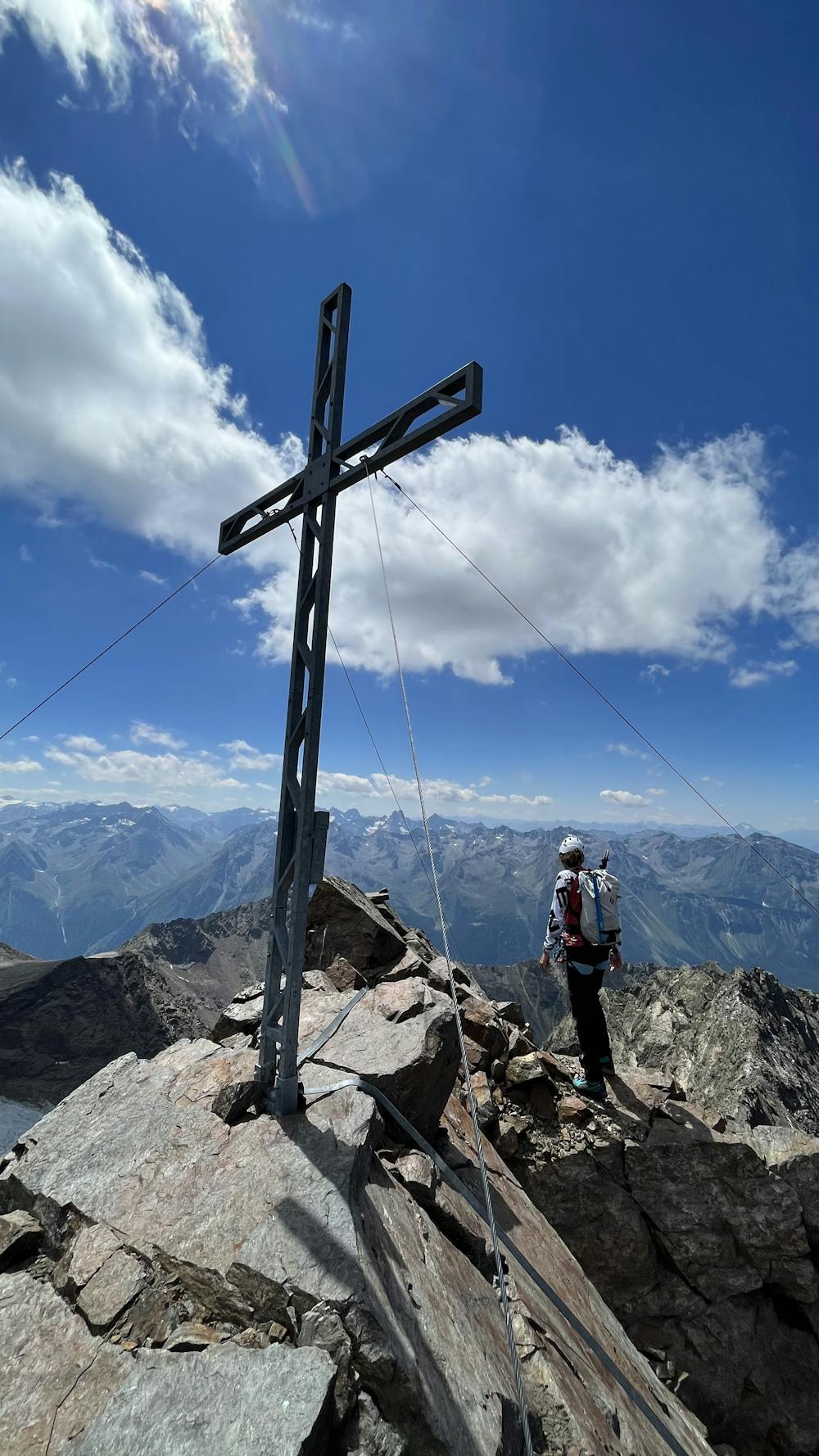
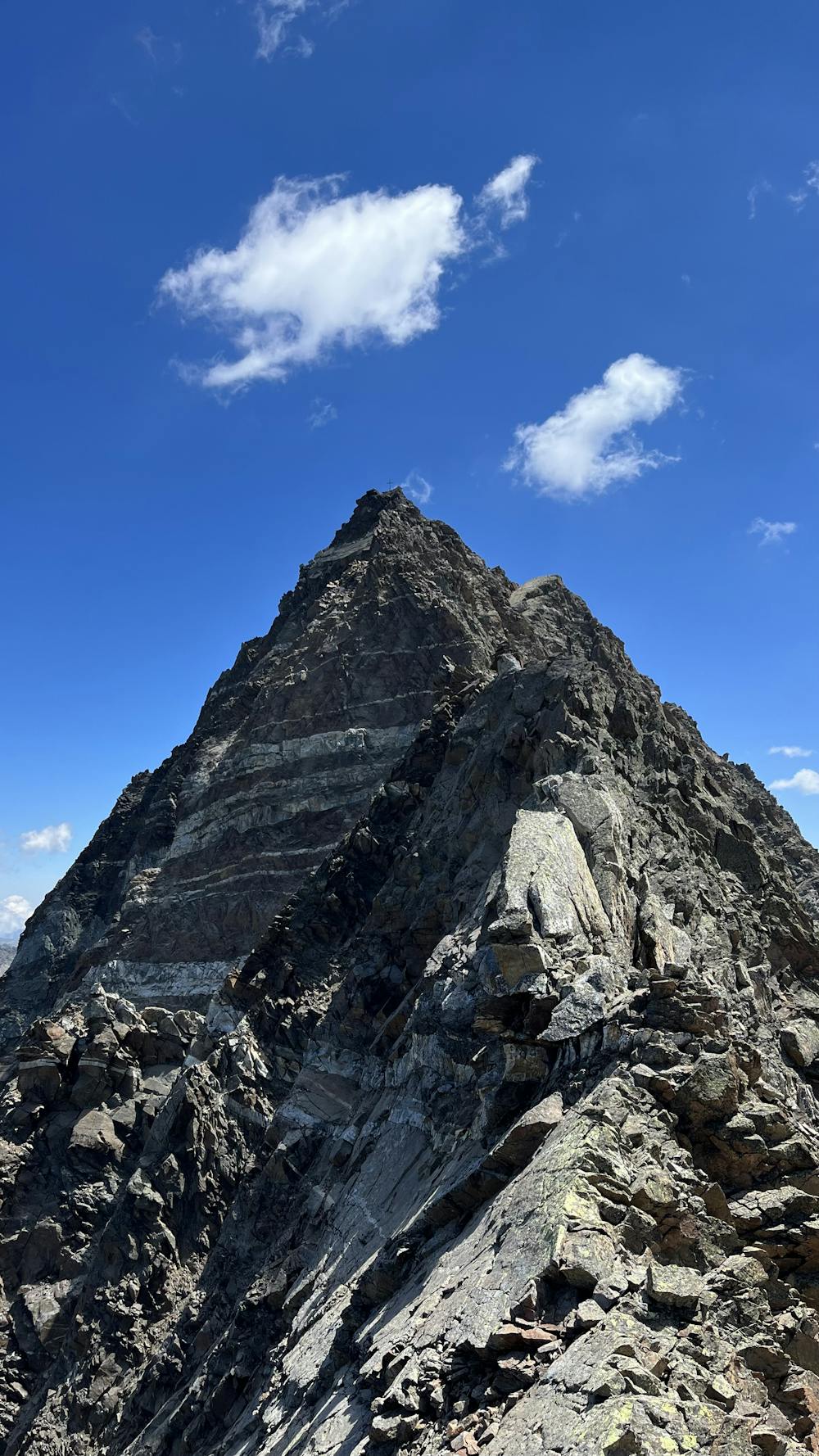
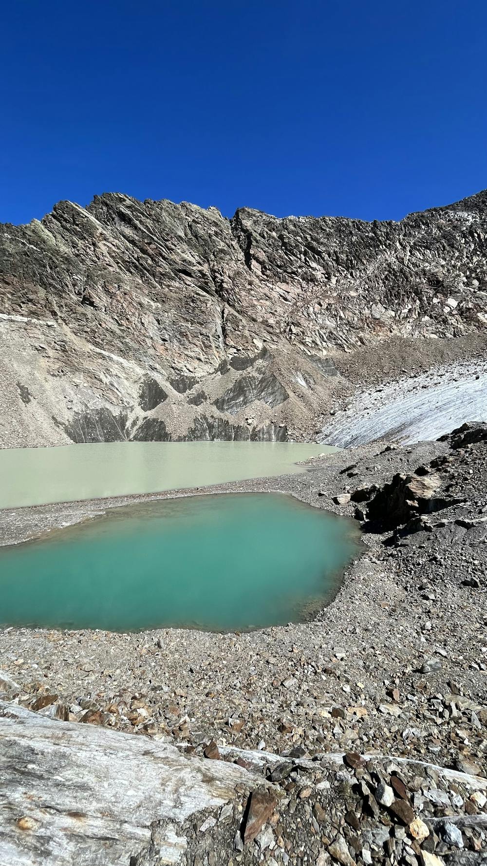
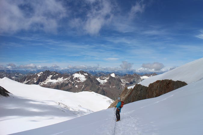
This is a popular alpine climbing route which is generally considered to be difficult. It's remote, it features medium exposure and is typically done between June and October. From a low point of 1.5 km to the maximum altitude of 3.2 km, the route covers 19 km, 1703 vertical metres of ascent and 1700 vertical metres of descent. You'll need crampons and wires and friends to complete it safely.
Kaum begangener Gipfel mit schöner Gratkletterei und kurzem Gletscherkontakt
Difficult
The beginning of truly technical terrain which might involve pitched climbing on rock and/or ice, exposed terrain and complex route finding in ascent and descent. Equivalent to AD, AD+

The route features some exposed and/or difficult to protect sections.
Away from help but easily accessed.
9.9 km away
A spectacular 380 metre scramble up the north ridge of the Zwölferkogel, a peak just under 3000m in Austria’s highest ski resort.
Difficult Alpine Climbing
6 routes · Alpine Climbing
9 routes · Alpine Climbing · Hiking
4 routes · Alpine Climbing · Hiking