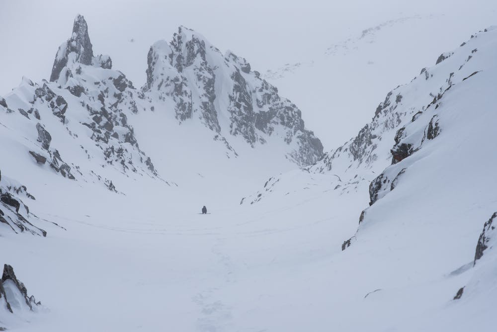
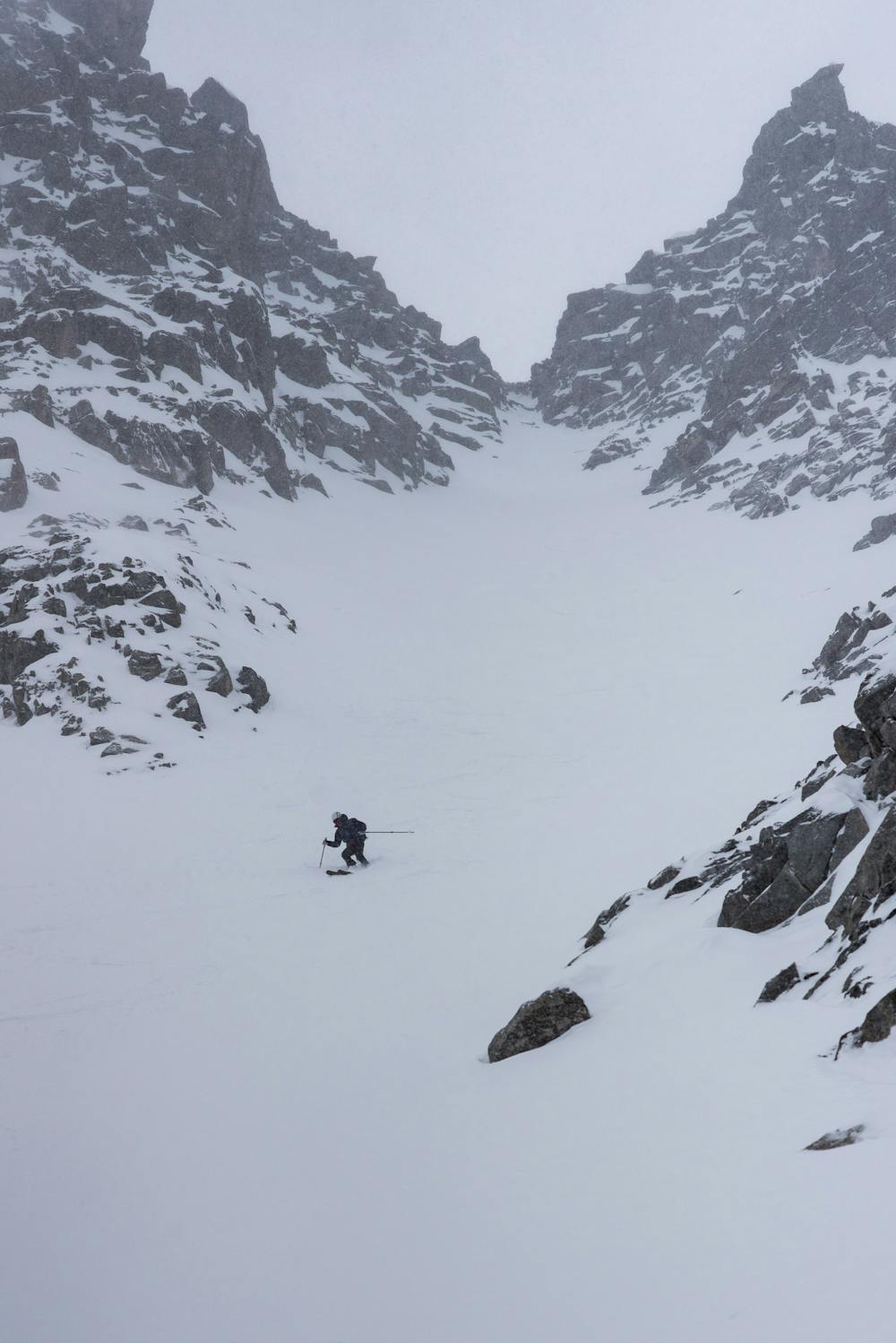
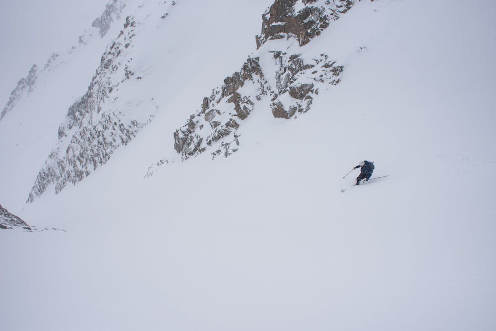
Rinne between Brunnenkogels
300 m lenght, 20m wide nice couloir which goes up to glacier
Freeride Skiing Difficult
- Distance
- 7.6 km
- Ascent
- 1 km
- Descent
- 1.1 km
- Low Point
- 2.2 km
- High Point
- 3.1 km
- Gradient
- 53˚

This is a popular freeride skiing route which is generally considered to be difficult. It's remote, it features low exposure (e1) and is typically done between March and April. From a low point of 2.2 km to the maximum altitude of 3.1 km, the route covers 7.6 km, 1010 vertical metres of ascent and 1128 vertical metres of descent. It's graded 3.3 and Labande grade 4. You'll need skins, ice axe and crampons to complete it safely.
- •
- •
- •
Description
300 m lenght, 20m wide nice couloir which goes up to glacier, mid width, few passages over 40, in good snow it is possible to skin it up all the way up. Skiing down is gentle in good conditions.
Difficulty
Difficult
Serious gradient of 30-38 degrees where a real risk of slipping exists.
Low Exposure (E1)

Exposure is limited to that of the slope itself. Getting hurt is still likely if the slope is steep and/or the snow is hard.
Remoteness

Away from help but easily accessed.
Best time to visit
Features
- Couloir
Equipment required
- Skins
- Ice axe
- Crampons