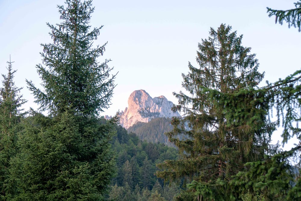
Säuling
Steep hike up to Säuling summit from Pflach
Also in Bayern, Germany
Hiking Easy
- Distance
- 4.8 km
- Ascent
- 1.1 km
- Descent
- 2 m
- Duration
- 2-3 hrs
- Low Point
- 902 m
- High Point
- 2 km
- Gradient
- 30˚

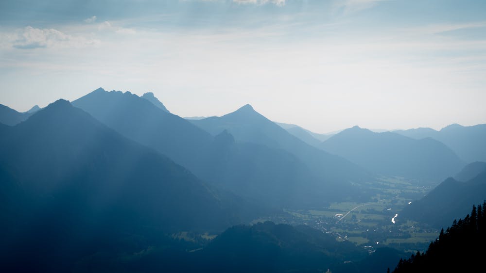
This is a popular hiking route which is generally considered to be easy. It's not remote, it features medium exposure and is typically done between May and October. From a low point of 902 m to the maximum altitude of 2 km, the route covers 4.8 km, 1068 vertical metres of ascent and 2 vertical metres of descent.
- •
- •
- •
- •
Description
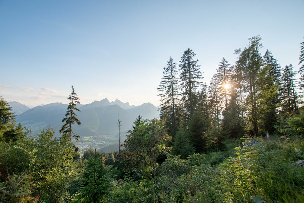
Starting at the parking lot, follow the marked trail to the top.
Elevation gain is around 1000m and the hike is steep pretty much the whole way.
The last section is particularly steep up to the summit.
Difficulty
Easy
Walking along a well-kept trail that’s mostly flat. No obstacles are present.
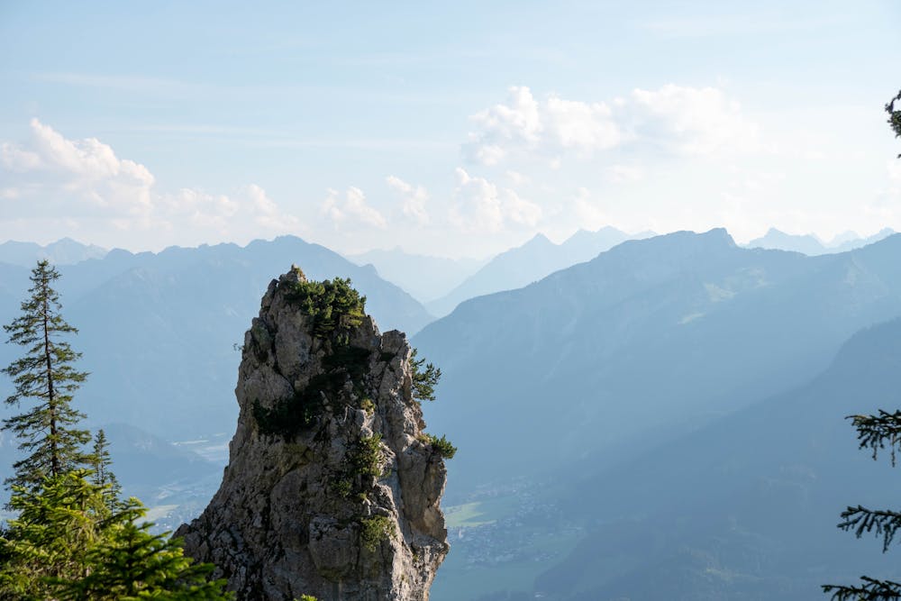
Medium Exposure

The trail contains some obstacles such as outcroppings and rock which could cause injury.
Remoteness

Close to help in case of emergency.
Best time to visit
Features
- Alpine
- Wildlife
- Picturesque
- Summit Hike
- Dog friendly
- Wild flowers
- Forestry or heavy vegetation