502 routes · Hiking · Ski Touring · Mountain Biking · Freeride Skiing · Alpine Climbing · Trail Running
Go hiking in Tirol with curated guides of the best hikes across the region. With over 703 3D trail maps in FATMAP, you can easily discover and navigate the best trails in Tirol.
No matter what your next adventure has in store, you can find a guide on FATMAP to help you plan your next epic trip.
Get a top hiking trail recommendation in Tirol from one of our 78 guidebooks, or get inspired by the 703 local adventures uploaded by the FATMAP community. Start exploring now!
502 routes · Hiking · Ski Touring · Mountain Biking · Freeride Skiing · Alpine Climbing · Trail Running
91 routes · Hiking · Mountain Biking · Trail Running · Ski Touring · Freeride Skiing
89 routes · Ski Touring · Freeride Skiing · Hiking · Alpine Climbing
57 routes · Mountain Biking · Freeride Skiing · Hiking
54 routes · Freeride Skiing · Ski Touring
35 routes · Hiking · Freeride Skiing

35 routes · Freeride Skiing
31 routes · Ski Touring · Freeride Skiing
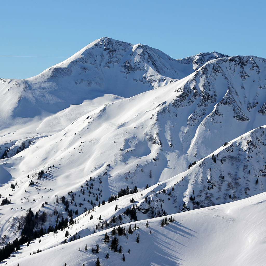
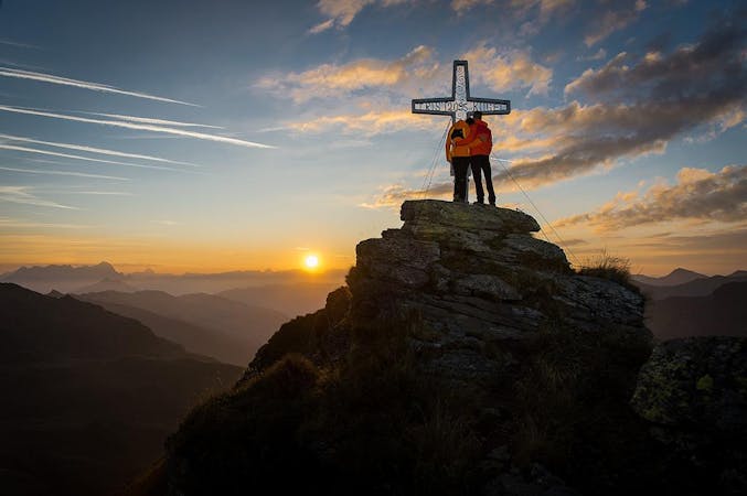
Enjoy huge views across some of Austria and Germany's wildest mountains
Moderate Hiking
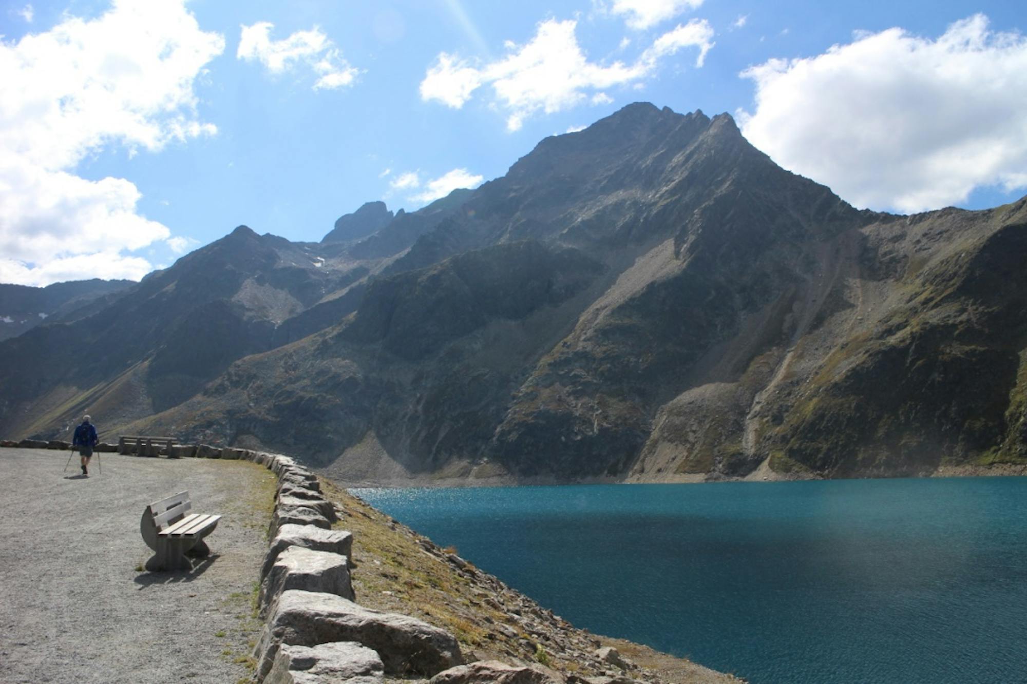
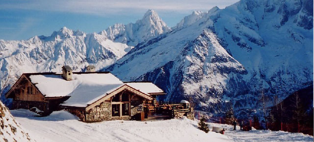
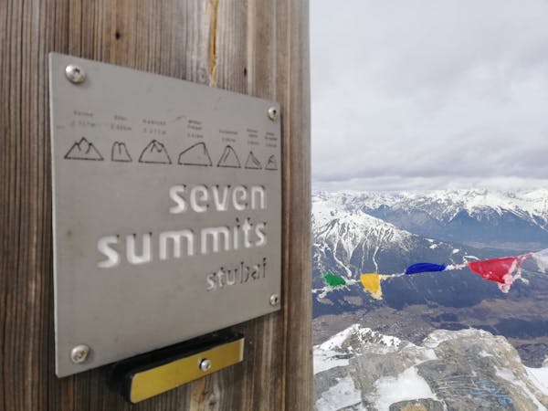
Summit a peak in the heart of the Stubaital and visit one of the area's best mountain huts
Severe Hiking
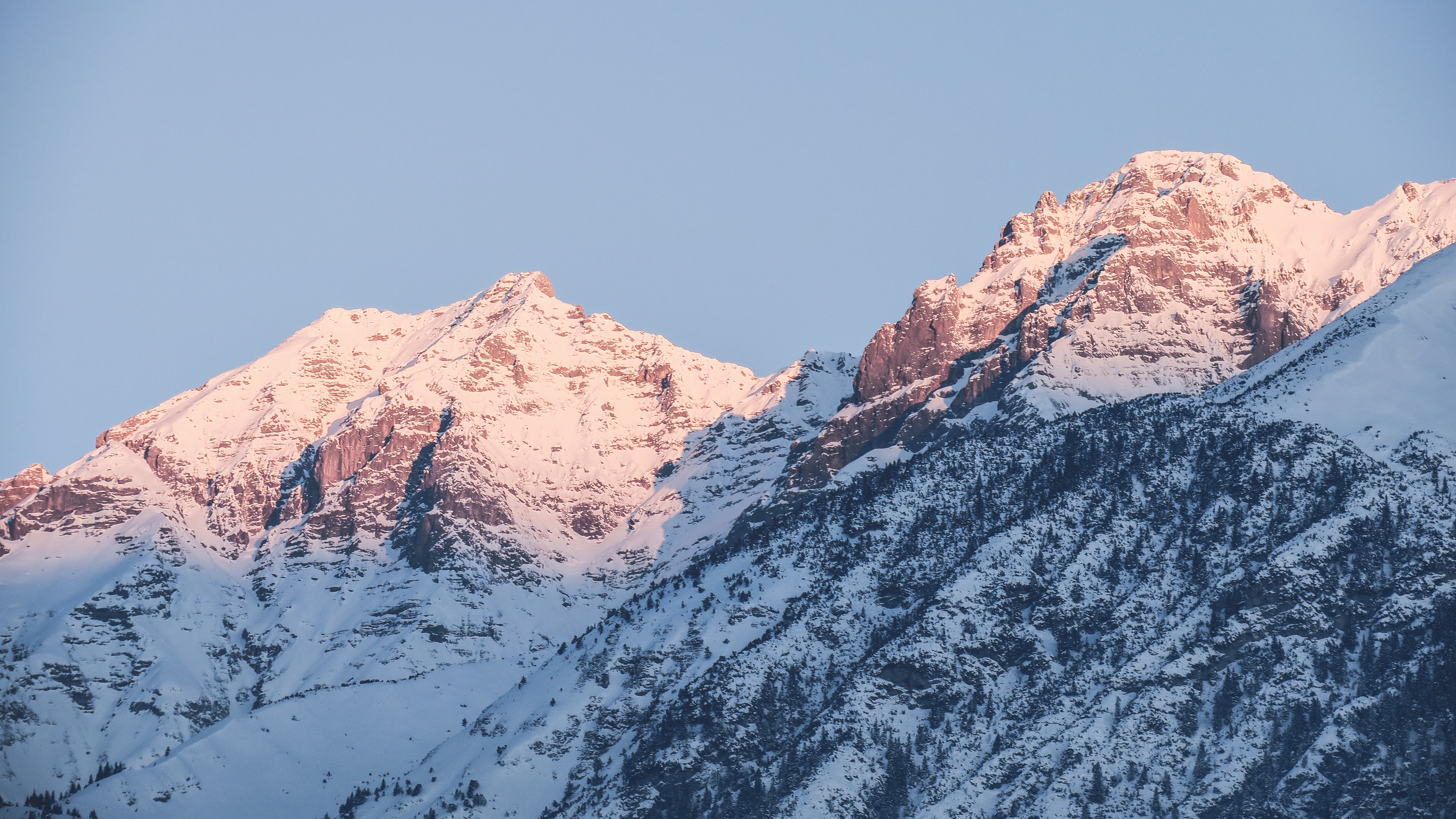
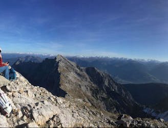
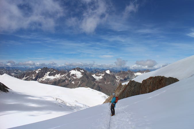
A long and utterly wild adventure through some stunning, remote terrain.
Extreme Hiking
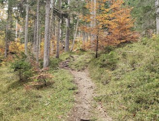
An atmospheric walk through the forest to a breathtakingly positioned hut
Moderate Hiking
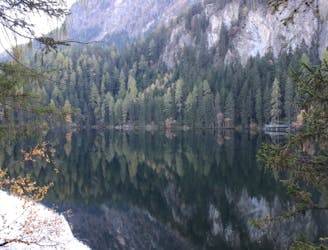
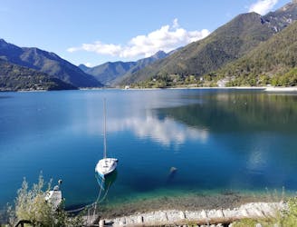
A gorgeous stroll around one of Austria's most beautiful lakes
Moderate Hiking
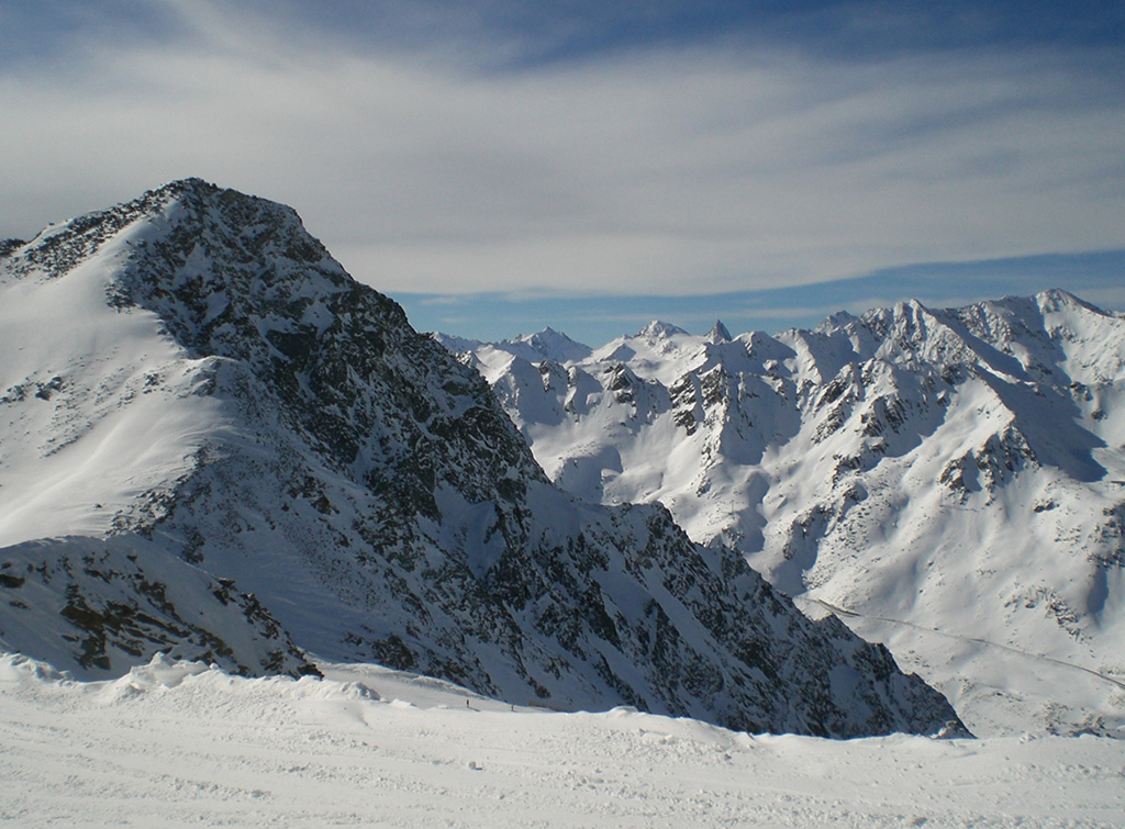
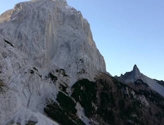
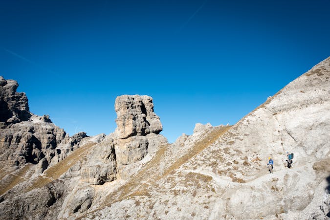
A wild and remote peak which is tricky by any route
Extreme Hiking
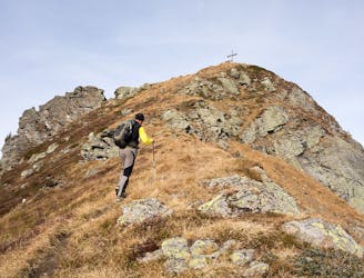
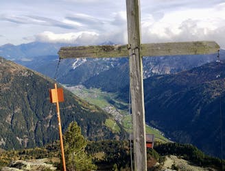
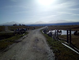
A family friendly ridge hike with traditional food and a stunning panorama.
Moderate Hiking

A long day out in the Ötztaler alps through a remote valley and a swim with a view.
Difficult Hiking
9 routes · Alpine Climbing · Hiking
9 routes · Alpine Climbing · Hiking

3 routes · Hiking

7 routes · Alpine Climbing · Mountain Biking · Hiking · Trail Running
4 routes · Hiking

8 routes · Hiking

5 routes · Hiking
10 routes · Hiking