295 m away
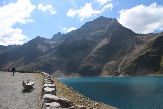
Seefeld 3 Lakes Hike
A classic mellow hike through peaceful forests and between a series of lakes.
Moderate Hiking
- Distance
- 12 km
- Ascent
- 343 m
- Descent
- 343 m
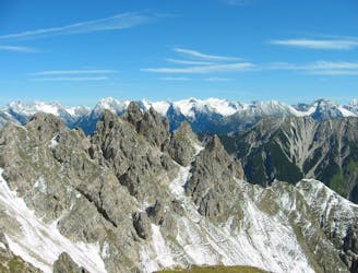
Enjoy huge views across some of Austria and Germany's wildest mountains
Hiking Moderate

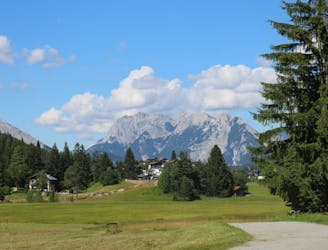
Starting and finishing in Seefeld (which can be easily reached by train from Innsbruck), this is a logistically simple hike right in the heart of the Tirol. It leads you quickly out of town and into lovely forests before then taking you to a summit with one of the best vistas in the region, and that's saying something. The hike does go past ski lifts but, for some reason, these don't seem to detract from the pleasure of the trip and serve as interesting features rather than eyesores.
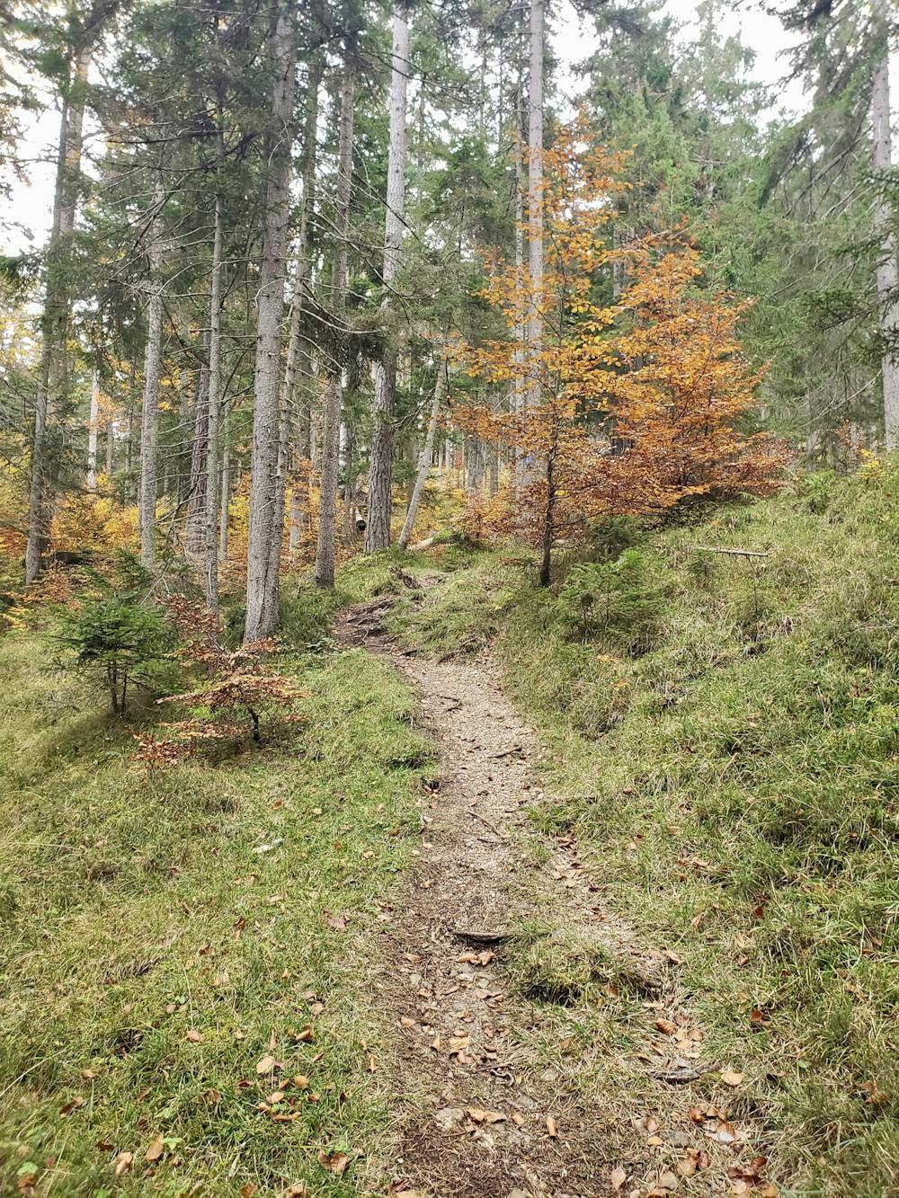
You can park on the outskirts of Seefeld, or walk from the village centre and access the clear trail which begins to climb the Gschwandkopf. There are numerous trails and jeep tracks so if you don't keep a close eye on FATMAP and end up wandering off route it isn't too hard to get back, or to find an alternative which leads to the summit.
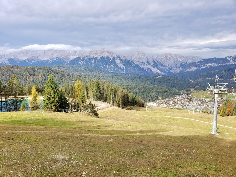
The final part of the climb is on a jeep track and as you climb the vistas just get better and better, with the Inn valley slowly appearing to the south and the jagged peaks of the Reintal to the north. Over to the west is the imposing humped summit of the Hohe Munde, and to the east lies the wild and barren Karwendel range. It's a staggering view so take it all in before descending the western side of the peak through quiet forests.
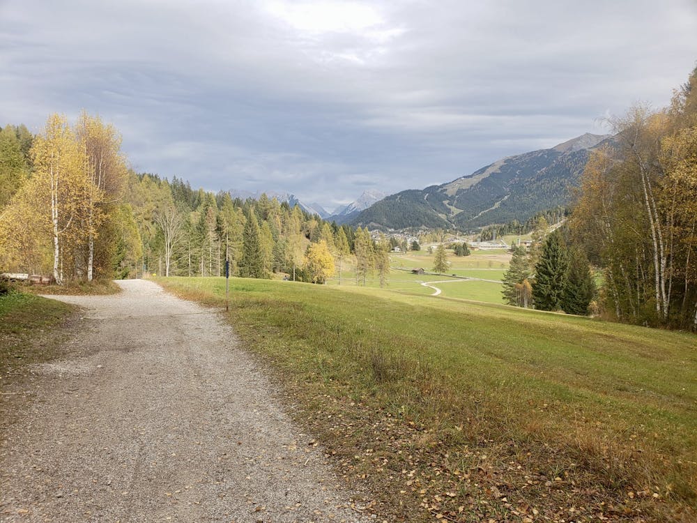
The trail pops out just below Mosern, and linking this hike with the Seefeld 3 Lakes trip is a great way of (significantly) extending the trip.
If you only want to add another hour or so to this hike then detouring off the line here to visit Mosern and the Möserersee is an excellent option. Alternatively, follow the line shown here and cruise easily back into Seefeld.
Moderate
Hiking along trails with some uneven terrain and small hills. Small rocks and roots may be present.

The trail contains some obstacles such as outcroppings and rock which could cause injury.
Away from help but easily accessed.
295 m away
A classic mellow hike through peaceful forests and between a series of lakes.
Moderate Hiking
3.6 km away
A high and wild day through some epic mountain scenery.
Severe Hiking
5 km away
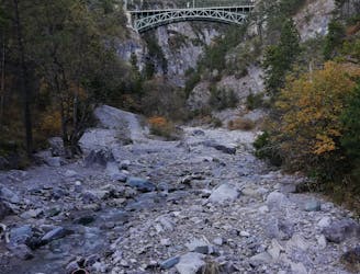
A lovely - but at times steep - trip through a deep, high gorge.
Difficult Hiking
7.2 km away
A nice loop to a hut at the bottom of the Solstein peaks.
Difficult Hiking
7.8 km away
An varied hike through a gorge to a traditional hut.
Moderate Hiking
3 routes · Hiking

7 routes · Alpine Climbing · Mountain Biking · Hiking · Trail Running

8 routes · Hiking

9 routes · Hiking

25 routes · Hiking