3.6 km away
Gschwandkopf
Enjoy huge views across some of Austria and Germany's wildest mountains
Moderate Hiking
- Distance
- 7.5 km
- Ascent
- 343 m
- Descent
- 343 m
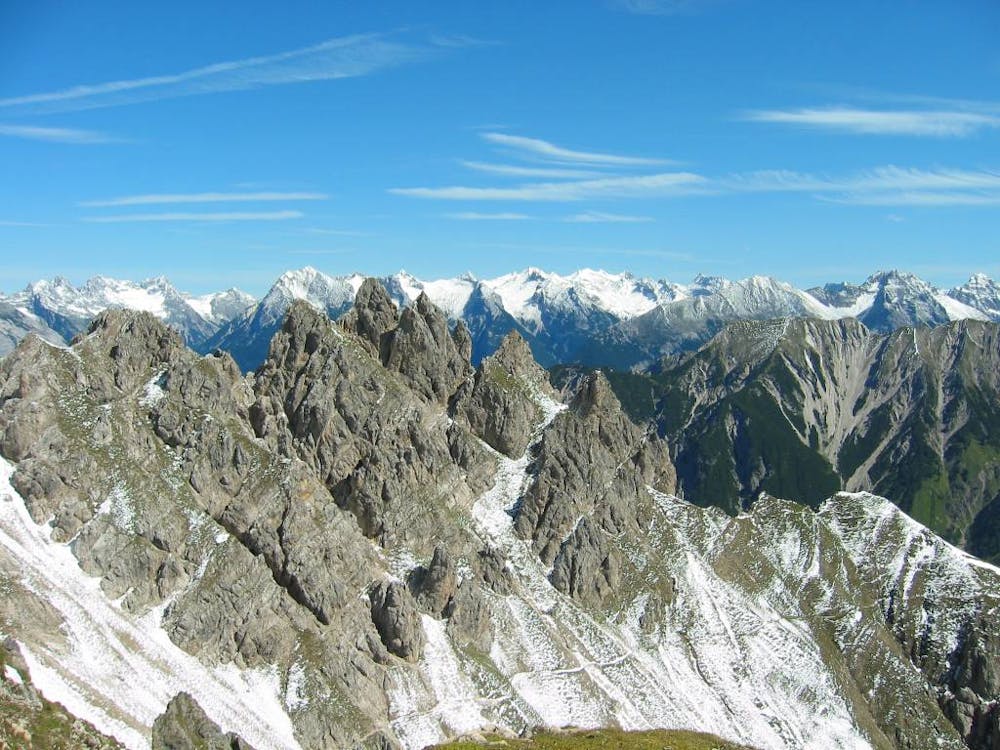
A high and wild day through some epic mountain scenery.
Hiking Severe

Starting at the cable car network in Seefeld, this is a brilliant way of seeing what the Karwendel mountain range is all about. The hike can be done in either direction, depending on whether you prefer going up or down. The way it's described here is primarily down, but the stats here are dependent on the cable car being open - if the cable car is shut then the day becomes much longer no matter which way you do it! Both the start and the finish of the hike can be reached easily on direct trains from Innsbruck city centre so this is an ideal trip for those without a car. The hike is quite adventurous in nature and there are some sections of easy scrambling and some parts are protected by cables - this is not the place to come if you are not a confident and experienced hiker.
From the top of the cable car, climb up to the Reither Spitze peak, from where you will be able to see much of this route. Descend down to the Nördlinger Hut and then begin the long, descending traverse to the Solsteinhaus. The traverse begins with the crossing of a scree bowl and then gradually leads you onto the ridge crest and the Freiungspitzen peak. This is a fairly remote peak and as such the summit is a great place to sit and breathe in the solitude.
Get moving again and follow the ridge as it descends down, via some steep scree slopes, to the forests above the Solsteinhaus. Hike down these to the hut itself, which is perched on a huge, barren-feeling col. Fuel yourself for a long descent to Hochzirl and then....do it! There's a train station (and not much else) in Hochzirl, from where you can easily get to Innsbruck or Seefeld.
Severe
Hiking challenging trails where simple scrambling, with the occasional use of the hands, is a distinct possibility. The trails are often filled with all manner of obstacles both small and large, and the hills are very steep. Obstacles and challenges are often unexpected and can be unpredictable.

Some trail sections have exposed ledges or steep ascents/descents where falling could cause serious injury.
Little chance of being seen or helped in case of an accident.
3.6 km away
Enjoy huge views across some of Austria and Germany's wildest mountains
Moderate Hiking
3.9 km away
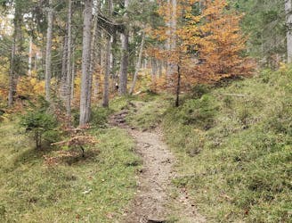
A classic mellow hike through peaceful forests and between a series of lakes.
Moderate Hiking
4.2 km away
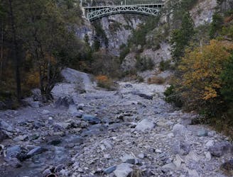
A lovely - but at times steep - trip through a deep, high gorge.
Difficult Hiking
5.6 km away
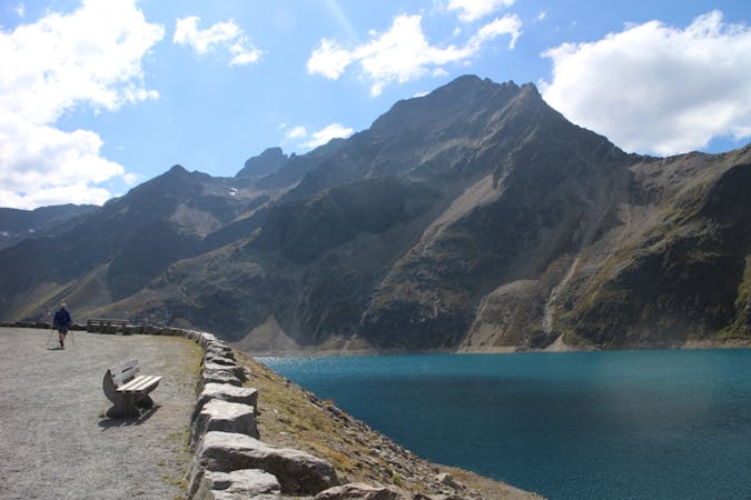
A nice loop to a hut at the bottom of the Solstein peaks.
Difficult Hiking
6.2 km away
An varied hike through a gorge to a traditional hut.
Moderate Hiking
3 routes · Hiking

7 routes · Alpine Climbing · Mountain Biking · Hiking · Trail Running

8 routes · Hiking

9 routes · Hiking

25 routes · Hiking