697 m away
Neue Magdeburger Hütte from Hochzirl
A nice loop to a hut at the bottom of the Solstein peaks.
Difficult Hiking
- Distance
- 12 km
- Ascent
- 906 m
- Descent
- 906 m
An varied hike through a gorge to a traditional hut.
Hiking Moderate

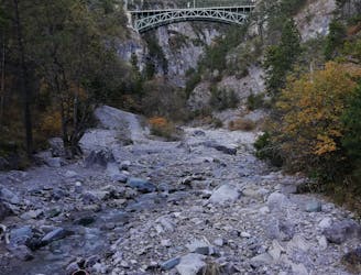
The hike to the Jausenstation Brunntal starts at the entry of the Ehnbachklamm gorge.
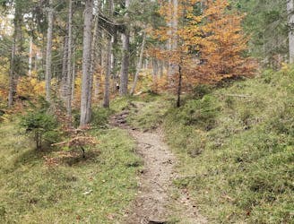
The trail guides you along the Ehnbach stream deeper into the gorge. Especially on hot days, the cold and moist air offers a refreshing contrast to the heat of the sunny valleys.
When you reach the dam either walk around it or use the direct route via an easy and short down climbing section on the left side to reach the bottom of the stream bed. Make sure to check the weather before you enter the bottom of the stream as this pond could potentially fill up in heavy rain!
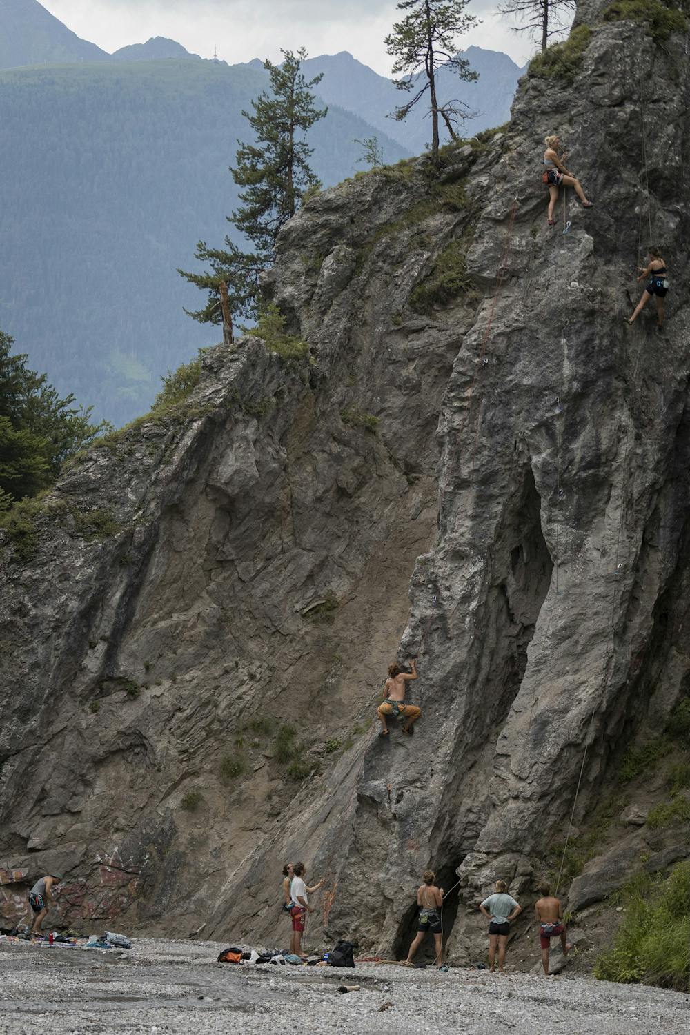
After passing the wide and open section of the gorge (with climbing walls to both sides - see photo) the route enters a narrow trail through a lovely birch forest.
Soon the trail climbs out of the gorge on the eastern side until it reaches the Brunntalweg trail.
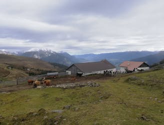
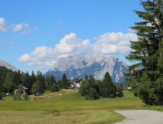
Now turn left (north) and follow the trail trough clearings of the forest with many weekenders huts. Follow the yellow signs to the Jausenstation and enjoy your well deserved cold beverage and some traditional Jausn with a stunning view onto Zirl and the Inn valley.
The ascent starts south of the hut and follows the Brunntalweg trail down to Zirl. The trail guides you through the shade of a forest upwards of the gorge. As the trail turns left (east) and allows a stunning view to the Kalkkögel, leave the Brunntalweg trail and follow a steep trail on the right side down into the valley
Soon you will reach Zirl, where you have to turn right (west) to reach the beginning of the Ehnbach gorge again.
Moderate
Hiking along trails with some uneven terrain and small hills. Small rocks and roots may be present.

The path is on completely flat land and potential injury is limited to falling over.

Away from help but easily accessed.
697 m away
A nice loop to a hut at the bottom of the Solstein peaks.
Difficult Hiking
2.8 km away
A lovely - but at times steep - trip through a deep, high gorge.
Difficult Hiking
4.9 km away
An incredibly wild-feeling trip through some wonderful scenery.
Difficult Hiking
5.7 km away

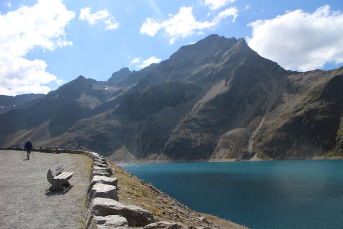
An easy hike with a picturesque lake and mountain view.
Moderate Hiking
6.2 km away
A high and wild day through some epic mountain scenery.
Severe Hiking
7.8 km away
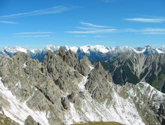
Enjoy huge views across some of Austria and Germany's wildest mountains
Moderate Hiking
8 km away
A classic mellow hike through peaceful forests and between a series of lakes.
Moderate Hiking
9.4 km away
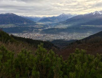
A beautiful easy hike to a sunny vantage point above Innsbruck.
Easy Hiking
9.6 km away
A steep and strenuous hike to one of the best situated huts in Tirol.
Difficult Hiking
3 routes · Hiking

7 routes · Alpine Climbing · Mountain Biking · Hiking · Trail Running

8 routes · Hiking

9 routes · Hiking

25 routes · Hiking