718 m away
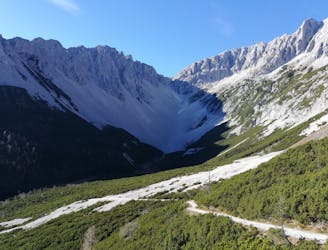
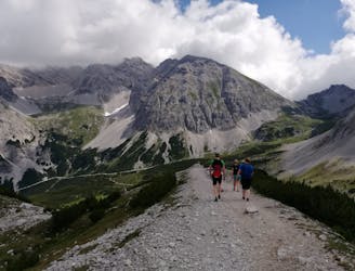
Höttinger Alm
A steep and strenuous hike to one of the best situated huts in Tirol.
Difficult Hiking
- Distance
- 9.1 km
- Ascent
- 888 m
- Descent
- 657 m
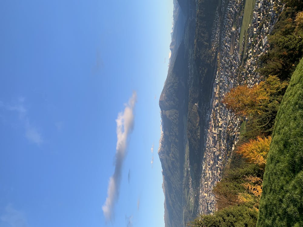
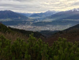
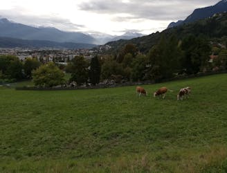
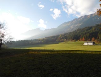
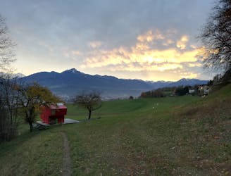
A beautiful easy hike to a sunny vantage point above Innsbruck.
Hiking Easy

You can easily reach this hike from the city centre by bike or the bus line A Sadrach/Allerheiligenhöfe to the stop Sadrach.
Following the Planötzenhofstraße you will reach the beginning of the trail at the parking next to the Planötzenhof. Here you turn to the left where the gravel road leads you into the forest until the Höttinger Bild chapel is reached.
From the chapel the route continues to the left (west) onto a wonderful small forest trail , never going very steep but gently inclining on the hillside heading to the west. Follow the path until it crosses the gravel road which you have to follow for a few hundred meters before the forest track continues going north on the right side.
Once you encounter a parting of the ways, stay on the right side (going uphill) that leads you directly to the spring of the Rauschbrunnen hut. Enjoy this beautiful view with a cold drink on the sunny terrace.
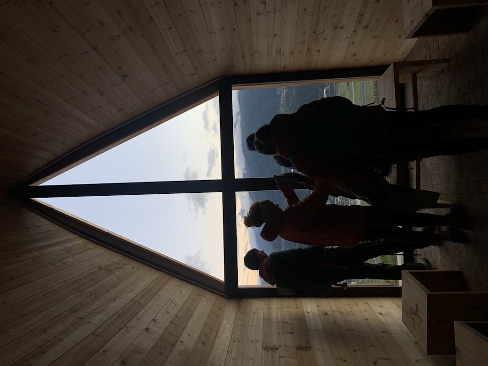
Don't miss a visit to the scenic modern chapel built out of arolla pines wood a few meters above the Rauschbrunnen hut. Smelling the wood and taking a moment to relax makes this place a special one!
For the descent follow the ascent route.
Easy
Walking along a well-kept trail that’s mostly flat. No obstacles are present.

The path is on completely flat land and potential injury is limited to falling over.
Close to help in case of emergency.
718 m away
A steep and strenuous hike to one of the best situated huts in Tirol.
Difficult Hiking
2.1 km away
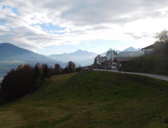
A lovely, sunny walk suitable for the whole family.
Moderate Hiking
2.2 km away
A lovely, easy traverse to a charming Tirolian town.
Moderate Hiking
2.2 km away
Possibly the most popular hike in Innsbruck and for good reason - this is a lovely little trip.
Moderate Hiking
4.1 km away
A long and beautiful trip which is almost all downhill and stops at 2 traditional mountain huts.
Difficult Hiking
4.1 km away
A long but incredibly rewarding trip through the Karwendel mountains.
Difficult Hiking
4.1 km away
A classic Innsbruck hike to a charming mountain hut.
Difficult Hiking
5.4 km away

Sophisticated alpine hike that offers a great variation of landscapes ending in a ridge with moderate climbing passages.
Severe Hiking
5.7 km away
A gorgeous walk between 2 easily-accessed villages.
Moderate Hiking
6.8 km away
A wonderful and wild hike which is best done using a bike for the approach and descent.
Difficult Hiking

8 routes · Hiking

5 routes · Hiking

9 routes · Hiking

6 routes · Hiking

25 routes · Hiking