718 m away
Rauschbrunnen via Höttinger Bild
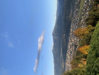
A beautiful easy hike to a sunny vantage point above Innsbruck.
Easy Hiking
- Distance
- 6.6 km
- Ascent
- 314 m
- Descent
- 314 m
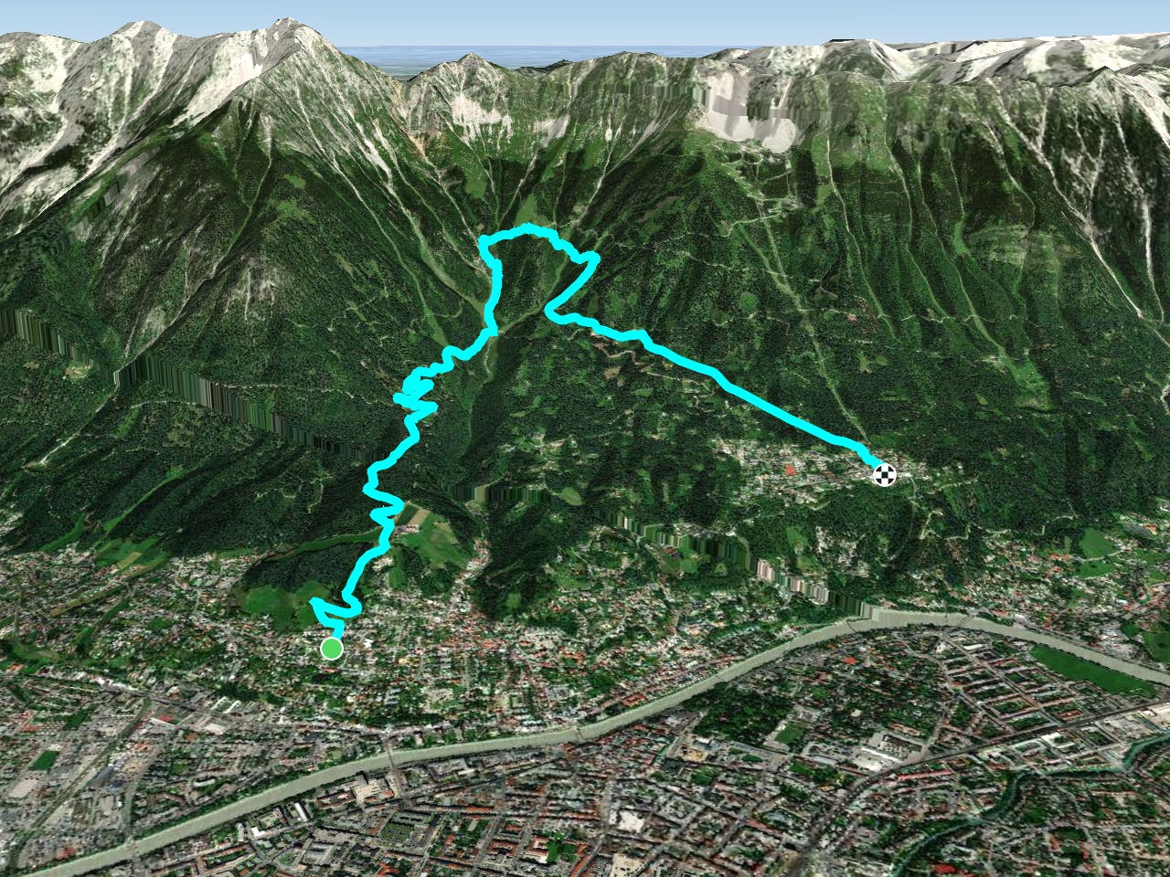

This is a tough hike on a variety of terrain but the logistics of doing it couldn't be much more simple - it begins and ends at well served bus stops, and the fact that it takes you to 2 beautiful Tirolian huts means that you won't need to worry about taking food either.
Ride the excellent Innsbruck bus network up to the Klausener Strasse stop on the Line A route, and begin your hike by heading north up the steep street Kohlweg. 50 metres after leaving the bus stop you will reach another road. Hang a left and then climb up to where a path branches off right and leads you up to and around the Gasthof Höttinger Schießstand.
Carry on north through a brief section of forest to a carpark next to the Gasthaus Planötzenhof Andreas Heis. Enter the forest next to the carpark and follow a jeep track, cutting corners on smaller tracks where possible, up to the Höttinger Bild - a tiny church nestled in the trees in a very peaceful spot.
Carry on climbing up the jeep track until it leaves the forest and goes into a huge gully with no trees in the base of it. At the apex of the jeep track's corner, at the bottom of the gully, turn left and begin the steep climb up to the Höttinger Alm. The climb is quite tough but the scenery is wonderful and you also pass an interesting rock cave en route so there's plenty to keep you interested, and the prospect of a good feed at the hut adds even more motivation.
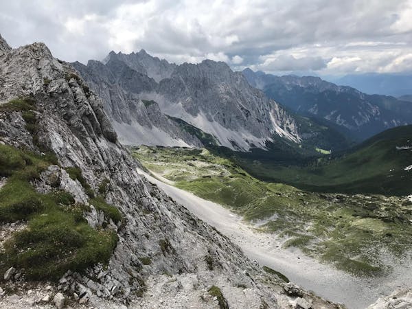
The final section of the ascent is through a dense section of trees and then suddenly, as if from nowhere, the hut appears. The view from the terrace has to be seen to be believed and it's a great spot to sit and pick out various landmarks. You can see all of Innsbruck city and then across to the peaks of the Stubai valley and into the deep Wipptal - the valley leading up to the Brenner Pass and Italy. The spinatknodel is the hut's speciality and it is a wonderful combination of dumpling, spinach, butter and parmesan cheese. Don't worry, you've earned it!
When you're ready to descend, follow a jeep track east and then go down a series of steep paths past the Umbruggler Alm (which is well worth stopping for a drink at) and down to the Hungerburg cable car station, from where you can get back to Innsbruck by bus or train.
Difficult
Hiking trails where obstacles such as rocks or roots are prevalent. Some obstacles can require care to step over or around. At times, the trail can be worn and eroded. The grade of the trail is generally quite steep, and can often lead to strenuous hiking.
718 m away

A beautiful easy hike to a sunny vantage point above Innsbruck.
Easy Hiking
2.3 km away
A lovely, sunny walk suitable for the whole family.
Moderate Hiking
2.5 km away
Possibly the most popular hike in Innsbruck and for good reason - this is a lovely little trip.
Moderate Hiking
2.5 km away
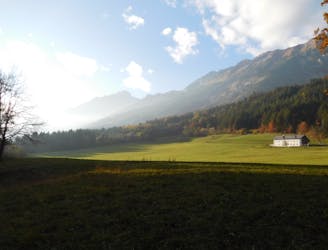
A lovely, easy traverse to a charming Tirolian town.
Moderate Hiking
4.8 km away
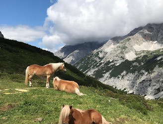
A long and beautiful trip which is almost all downhill and stops at 2 traditional mountain huts.
Difficult Hiking
4.8 km away
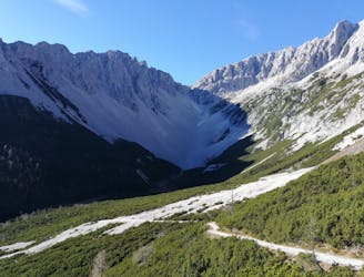
A long but incredibly rewarding trip through the Karwendel mountains.
Difficult Hiking
4.8 km away
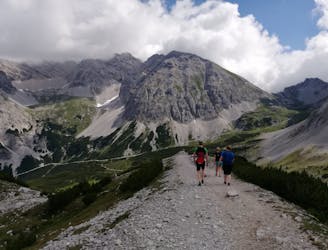
A classic Innsbruck hike to a charming mountain hut.
Difficult Hiking
5.5 km away

Sophisticated alpine hike that offers a great variation of landscapes ending in a ridge with moderate climbing passages.
Severe Hiking
5.8 km away
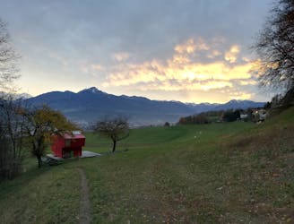
A gorgeous walk between 2 easily-accessed villages.
Moderate Hiking
6.4 km away

A classic hiking tour with a beautiful view of the impressive Serles northface.
Moderate Hiking
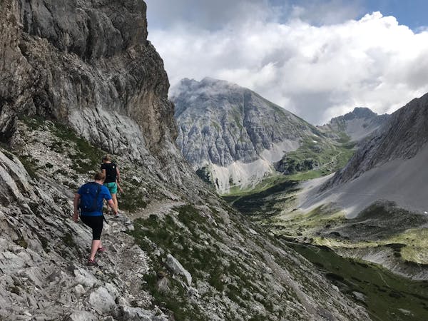
8 routes · Hiking
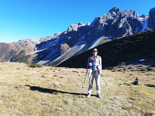
5 routes · Hiking
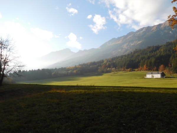
9 routes · Hiking
6 routes · Hiking

25 routes · Hiking