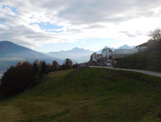
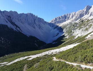
The Arzler Trail
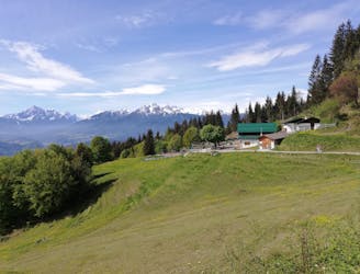
Innsbruck's best known trail is worth the hype!
Difficult Mountain Biking
- Distance
- 6.5 km
- Ascent
- 244 m
- Descent
- 486 m
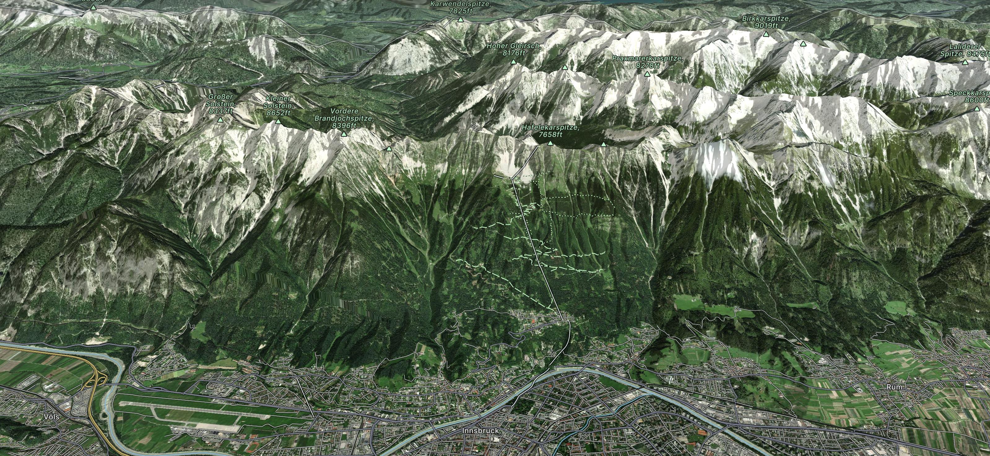
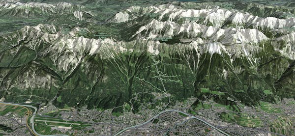
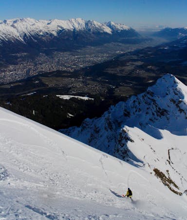
Explore Nordkette with curated guides of the best hiking trails, ski routes, and more. With over 35 3D trail maps in FATMAP, you can easily discover and navigate the best trails in Nordkette.
No matter what your next adventure has in store, you can find a guide on FATMAP to help you plan your next epic trip.
Get a top trail recommendation in Nordkette from one of our 21 guidebooks, or get inspired by the 35 local adventures uploaded by the FATMAP community. Start exploring now!
Innsbruck's best known trail is worth the hype!
Difficult Mountain Biking
A steep and strenuous hike to one of the best situated huts in Tirol.
Difficult Hiking
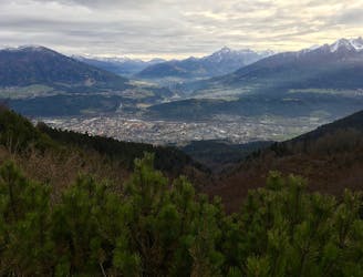
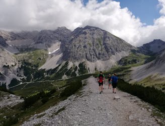
Possibly the most popular hike in Innsbruck and for good reason - this is a lovely little trip.
Moderate Hiking
A lovely, easy traverse to a charming Tirolian town.
Moderate Hiking
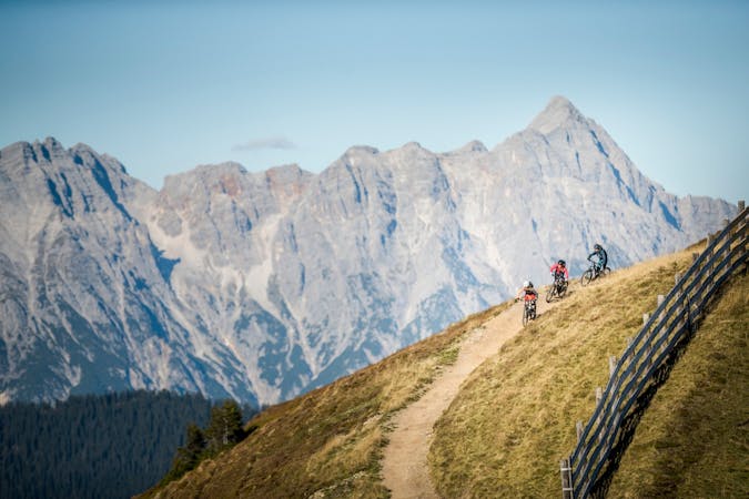
A stunning and non-technical trip to a couple of lovely mountain huts.
Easy Mountain Biking
A long and beautiful trip which is almost all downhill and stops at 2 traditional mountain huts.
Difficult Hiking
A long but incredibly rewarding trip through the Karwendel mountains.
Difficult Hiking
A classic Innsbruck hike to a charming mountain hut.
Difficult Hiking

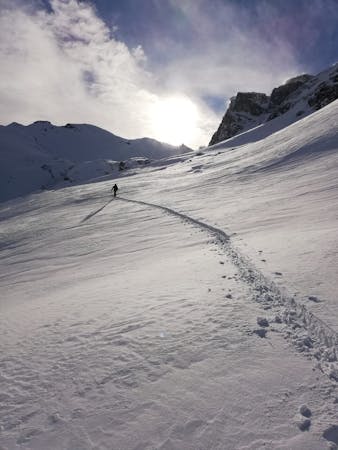
10 routes · Freeride Skiing
5 routes · Ski Touring
3 routes · Mountain Biking

7 routes · Freeride Skiing
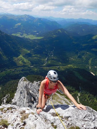
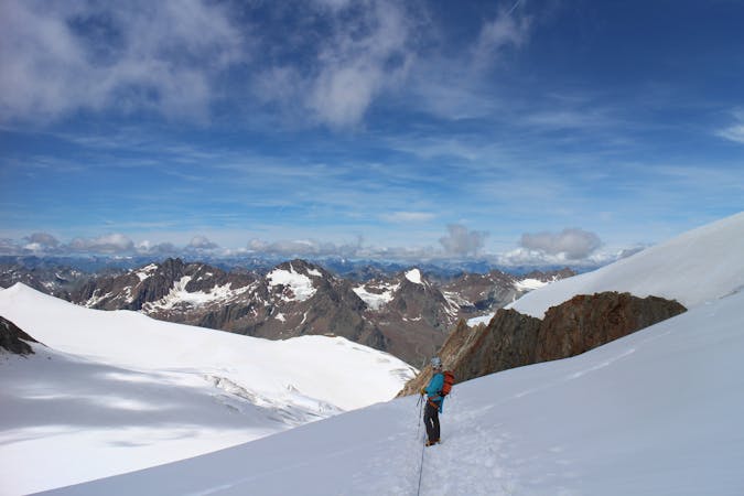
6 routes · Alpine Climbing
9 routes · Alpine Climbing · Hiking
5 routes · Ski Touring

17 routes · Ski Touring