4 m away
Hafelekar to Hall in Tirol
A long but incredibly rewarding trip through the Karwendel mountains.
Difficult Hiking
- Distance
- 20 km
- Ascent
- 667 m
- Descent
- 2.2 km

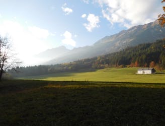
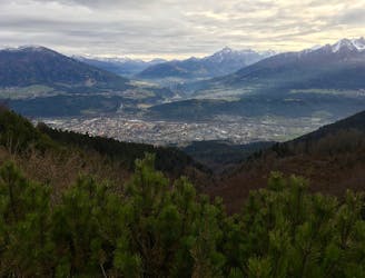
This is a great trip which takes you on a lovely loop through the Karwendel.
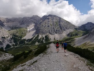
Start by riding the Nordkette cable car network up to the Hafelekar and then get hiking. The walk doesn't need to begin with a trip up to the Hafelekarspitze peak but it's only a 10 detour and well worth it for the excellent views. The line drawn here goes over the peak but it's simple enough not to bother with it.
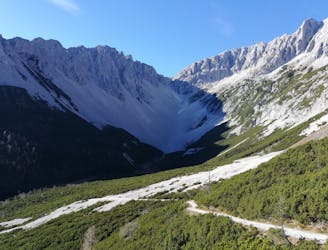
Drop down off the peak and follow the clear path which hangs high above the Inn valley and follow it east underneath the Gleirschspitze. This traverse beneath the Gleirschspitze is amazing, with epic views and the path constantly winding in and out of tiny valleys so that it never feels tedious.
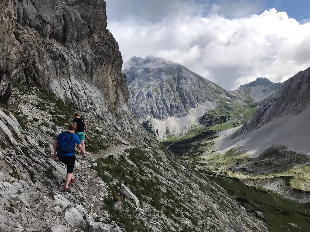
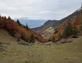
Shortly after passing under the Gleirschspitze there is a short climb up to a col, from where you drop onto the north side of the Nordkette ridge. Once on the north side the hiking becomes a little more challenging and there are some sections of scree and the path is steep in places. Follow the path as it heads due north and then climbs up to the Mandlscharte col, from where the Inn valley is visible once again.
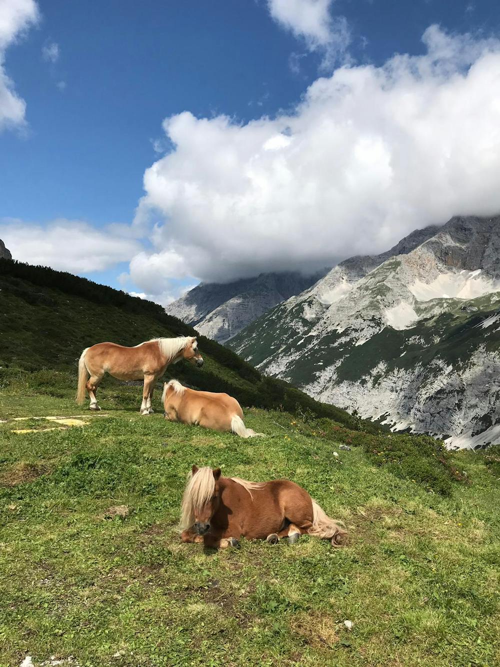
Drop off the col and follow the zig zag paths down almost to the Arzlerscharte col before heading north-northeast on a gorgeous path path down to the Pfeishütte itself. The hut sits beneath some towering Karwendel limestone peaks and is a traditional Tirolian hut, with a long and fascinating history. It also serves the usual array of excellent, hearty Austrian food and for most hikers, getting their hands on some of this is more important than studying the history of the hut when they first arrive! Once you've refuelled, take the time to study the artefacts around the hut.
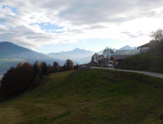
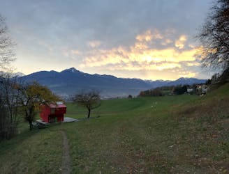
Hike south-east out of the hut and climb up to the broad Thaurer Joch col. Descend down a steep and at times narrow path through ever thickening forests to reach a jeep track. Turn left on this to reach the lovely Thaurer Alm hut in a couple of minutes. Grab a quick drink and then make the deceptively long descent down into Thaur village, from where an excellent bus network connects you with Innsbruck.
Difficult
Hiking trails where obstacles such as rocks or roots are prevalent. Some obstacles can require care to step over or around. At times, the trail can be worn and eroded. The grade of the trail is generally quite steep, and can often lead to strenuous hiking.

The trail contains some obstacles such as outcroppings and rock which could cause injury.

Little chance of being seen or helped in case of an accident.
4 m away
A long but incredibly rewarding trip through the Karwendel mountains.
Difficult Hiking
4 m away
A classic Innsbruck hike to a charming mountain hut.
Difficult Hiking
3.1 km away
A lovely, easy traverse to a charming Tirolian town.
Moderate Hiking
3.1 km away
Possibly the most popular hike in Innsbruck and for good reason - this is a lovely little trip.
Moderate Hiking
3.5 km away
A lovely, sunny walk suitable for the whole family.
Moderate Hiking
4.1 km away
A beautiful easy hike to a sunny vantage point above Innsbruck.
Easy Hiking
4.8 km away
A steep and strenuous hike to one of the best situated huts in Tirol.
Difficult Hiking
4.9 km away

Sophisticated alpine hike that offers a great variation of landscapes ending in a ridge with moderate climbing passages.
Severe Hiking
5.5 km away
A gorgeous walk between 2 easily-accessed villages.
Moderate Hiking
5.8 km away
A wonderful and wild hike which is best done using a bike for the approach and descent.
Difficult Hiking

8 routes · Hiking

5 routes · Hiking

9 routes · Hiking

6 routes · Hiking

25 routes · Hiking