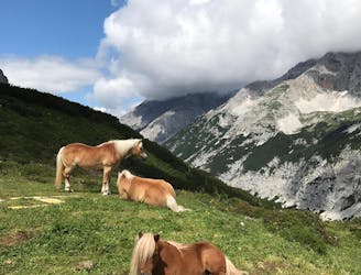
539 m away
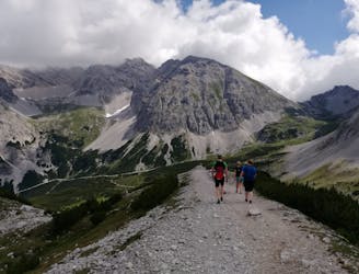
Rumer Spitze East-West-Traverse

Sophisticated alpine hike that offers a great variation of landscapes ending in a ridge with moderate climbing passages.
Severe Hiking
- Distance
- 15 km
- Ascent
- 1.7 km
- Descent
- 1.7 km
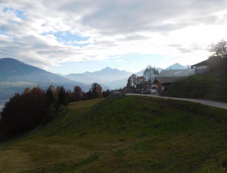
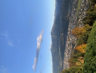
A gorgeous walk between 2 easily-accessed villages.
Hiking Moderate

Any time you fancy a bit of a stroll but don't want to push yourself or to use the car, this is the trip for you. The hike is accessed using public transport and involves just enough exertion that you've earned a drink by the end of it.
Catch the "A" bus from Innsbruck to its final destination of Rum Sanatorium. From the Sanatorium hike north-west up Lärchenstraße road, heading for the parking area that serves the superb children's play area in the forests behind Rum village. If you're with the kids, write off an hour to playing here!
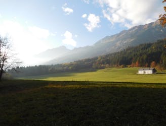
Carry on hiking north-west up a peaceful road through forests and, upon reaching a 4 way junction, turn left and climb gently to the Rechenhof - a famous restaurant and guest house that is something of an Innsbruck landmark. The food and views from Rechenhof are excellent so grabbing a drink and some food there is rarely a bad idea.
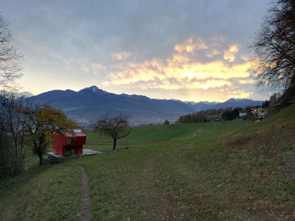
From Rechenhof continue westwards on a jeep track past some truly spectacular (and no doubt staggeringly expensive!) houses to reach a small path cutting due south between 2 fields. Go down this picturesque path and then down a steeper path through a forest to rejoin a tarmac road. Follow this for 40 metres then turn right off it and descend another lovely path through the trees to - via some very brief steep sections - a road. Cross the road to reach another one, the Finkenbergweg. Go east along this and, just before it reaches a junction, turn right off it and go down a little trail past an amazing little red house which enjoys an epic view of the Inn valley.
Upon hitting a jeep track turn right and follow this as it winds down through open fields to the edge of Arzl village. Follow roads back to the Arzler Straße - the street from where you can catch a bus back to Innsbruck.
Moderate
Hiking along trails with some uneven terrain and small hills. Small rocks and roots may be present.

The trail contains some obstacles such as outcroppings and rock which could cause injury.

Close to help in case of emergency.
539 m away
Sophisticated alpine hike that offers a great variation of landscapes ending in a ridge with moderate climbing passages.
Severe Hiking
1.4 km away
A wonderful and wild hike which is best done using a bike for the approach and descent.
Difficult Hiking
2 km away
A long and scenic journey between some of Tirol's finest huts.
Difficult Hiking
3.7 km away
A lovely, sunny walk suitable for the whole family.
Moderate Hiking
3.7 km away
Possibly the most popular hike in Innsbruck and for good reason - this is a lovely little trip.
Moderate Hiking
3.7 km away
A lovely, easy traverse to a charming Tirolian town.
Moderate Hiking
5.5 km away
A classic Innsbruck hike to a charming mountain hut.
Difficult Hiking
5.5 km away
A long but incredibly rewarding trip through the Karwendel mountains.
Difficult Hiking
5.5 km away
A long and beautiful trip which is almost all downhill and stops at 2 traditional mountain huts.
Difficult Hiking
5.7 km away
A beautiful easy hike to a sunny vantage point above Innsbruck.
Easy Hiking

8 routes · Hiking

5 routes · Hiking

9 routes · Hiking

6 routes · Hiking

25 routes · Hiking