8 m away
Hungerburg to Hall in Tirol
A lovely, easy traverse to a charming Tirolian town.
Moderate Hiking
- Distance
- 14 km
- Ascent
- 304 m
- Descent
- 595 m

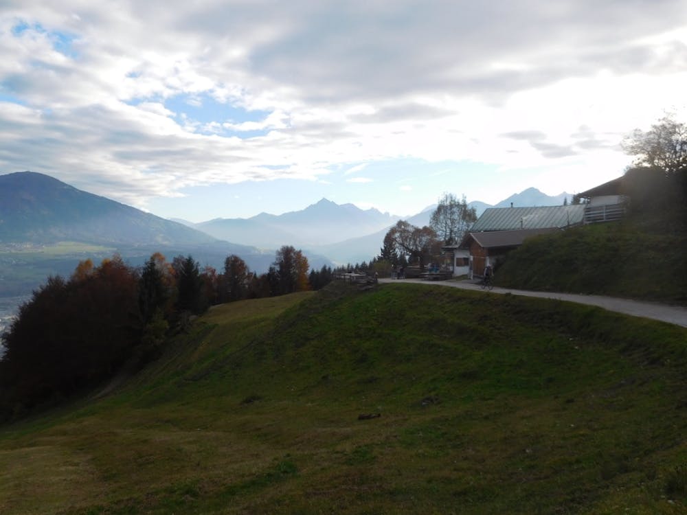
This is a true classic of Innsbruck and takes you to one of the most celebrated mountain huts in the region - the Arzler Alm. The hut can be reached by following a good jeep track (check out our "Arzler and Umbruggler Alms Loop" bike route for directions) or by taking this slightly tougher but much more enjoyable hiking trail.
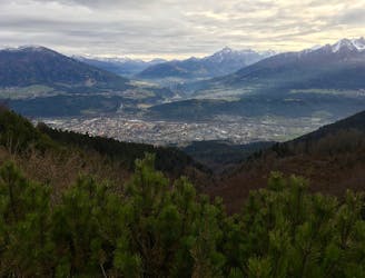
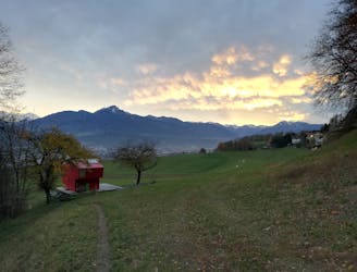
Start at the Hungerburg cable car station to the north of Innsbruck. This can be reached by car, bus, train or foot and enjoys a fabulous view over Innsbruck city. Climb up through the lovely suburbs of Hungerburg village and cross over a jeep track to reach the foot of the trail proper.
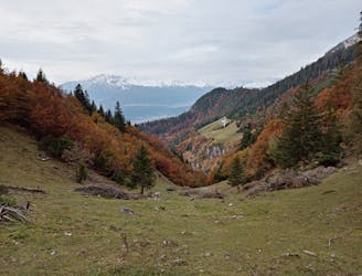
Climb the trail (which is initially slightly rocky and fairly steep but quickly mellows and becomes easier) as it winds up through lovely, peaceful forests. The hiking is somewhat steep in places but the trip is short enough that, given a few pauses for breath, hikers of virtually all abilities will be able to do it.
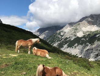
The hut in invisible until you are about to arrive, and it's a lovely surprise to see the hut just above you when you emerge from the forest. The hut offers great food and drink, and there's a petting zoo too for the kids (and adults)!
It's perfectly possible to descend back to Hungerburg via the ascent route or the aforementioned jeep track, but the nicest way to descend is to do the loop drawn here.
Climb west away from the Arzler Alm up a jeep track and then, when this meets another track, turn left and begin descending into a denser forest. Keep going down towards Hungerburg and, shortly before reaching the station you'll end up underneath the cable car's cables. Stroll down to Hungerburg and back down to Innsbruck.
Moderate
Hiking along trails with some uneven terrain and small hills. Small rocks and roots may be present.

The trail contains some obstacles such as outcroppings and rock which could cause injury.
Away from help but easily accessed.
8 m away
A lovely, easy traverse to a charming Tirolian town.
Moderate Hiking
452 m away
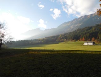
A lovely, sunny walk suitable for the whole family.
Moderate Hiking
2.2 km away
A beautiful easy hike to a sunny vantage point above Innsbruck.
Easy Hiking
2.5 km away
A steep and strenuous hike to one of the best situated huts in Tirol.
Difficult Hiking
3.1 km away
A long and beautiful trip which is almost all downhill and stops at 2 traditional mountain huts.
Difficult Hiking
3.1 km away
A classic Innsbruck hike to a charming mountain hut.
Difficult Hiking
3.1 km away
A long but incredibly rewarding trip through the Karwendel mountains.
Difficult Hiking
3.3 km away

Sophisticated alpine hike that offers a great variation of landscapes ending in a ridge with moderate climbing passages.
Severe Hiking
3.7 km away
A gorgeous walk between 2 easily-accessed villages.
Moderate Hiking
4.7 km away
A wonderful and wild hike which is best done using a bike for the approach and descent.
Difficult Hiking

8 routes · Hiking

5 routes · Hiking

9 routes · Hiking

6 routes · Hiking

25 routes · Hiking