8 m away
Arzler Alm
Possibly the most popular hike in Innsbruck and for good reason - this is a lovely little trip.
Moderate Hiking
- Distance
- 3.6 km
- Ascent
- 260 m
- Descent
- 260 m

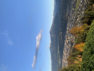
With everything from peaceful forests to a bustling Tirolian town and some huge views, this is a gorgeous trip through the lower hills of the Nordkette range.
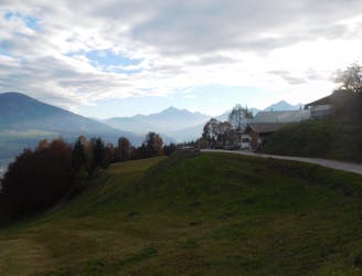
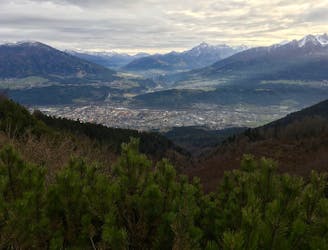
Start at the Hungerburg cable car station to the north of Innsbruck. This can be reached by car, bus, train or foot and enjoys a fabulous view over Innsbruck city.
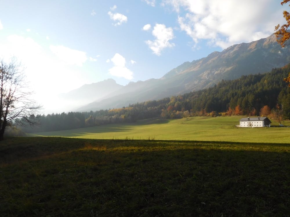
Hike east-northeast on a good jeep track and follow this as it traverses and undulates through lovely, peaceful trees to some huge, open fields a kilometre or so west of Rechenhof restaurant. Follow a good track along the northern edge of the field, soaking in the panorama across the Inn valley to the peaks of the Glungezer and Patscherkofel areas. There are some truly staggering houses in the fields and on the latter section of the track to Rechenhof so try not to be too jealous of those who get to live with that view every day!
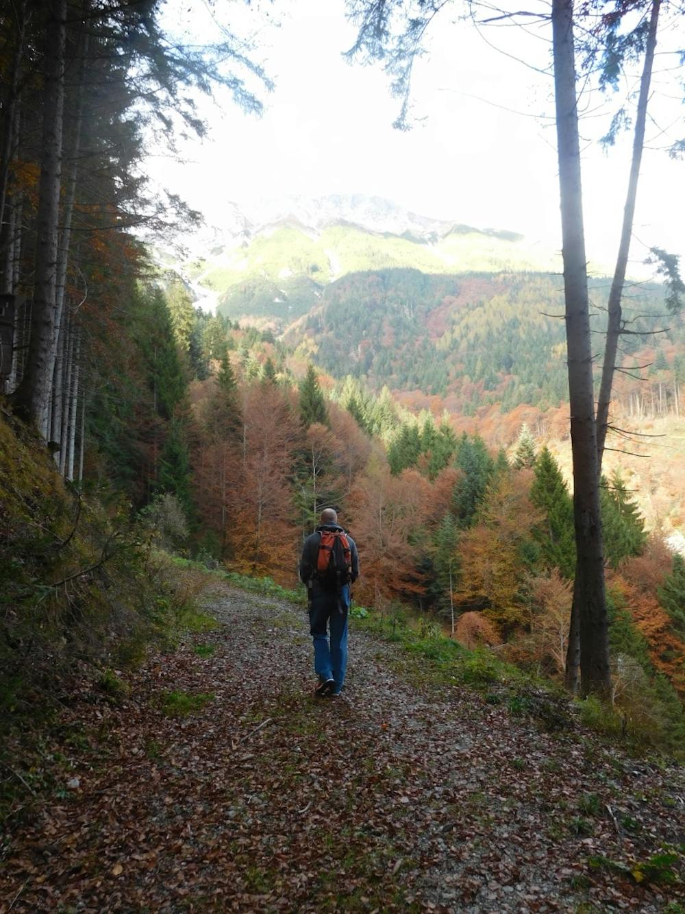
The Rechenhof restaurant is lovely and is a popular spot because you can drive or hike to it and it serves up great food. Soak in the sun and grab a drink before carrying on east on a road which, after 10 minutes, turns into a smaller path. Stick with this as it winds through the woods and descends down towards the village of Thaur.
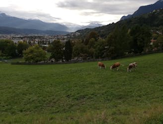
Work your way through the northern part of Thaur's suburbs and follow the line shown here to get you back onto another jeep track that continues east, perched high above some rolling fields. You can cut south off the fields and into Absam village at several points but the way drawn here maximises your time in the fields and minimises road walking. Once you do reach Absam village, either catch the bus back to Innsbruck or (highly recommended) stroll through the suburbs of Hall in Tirol into the fascinating old town at the centre of the village. Explore the quaint streets for a while before catching the bus or train back to Innsbruck.
Moderate
Hiking along trails with some uneven terrain and small hills. Small rocks and roots may be present.

The path is on completely flat land and potential injury is limited to falling over.

Away from help but easily accessed.
8 m away
Possibly the most popular hike in Innsbruck and for good reason - this is a lovely little trip.
Moderate Hiking
460 m away
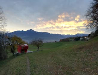
A lovely, sunny walk suitable for the whole family.
Moderate Hiking
2.2 km away
A beautiful easy hike to a sunny vantage point above Innsbruck.
Easy Hiking
2.5 km away
A steep and strenuous hike to one of the best situated huts in Tirol.
Difficult Hiking
3.1 km away
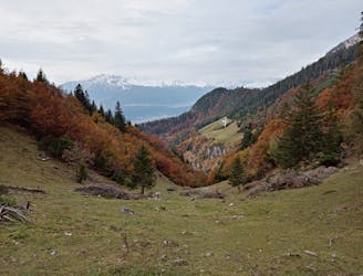
A long and beautiful trip which is almost all downhill and stops at 2 traditional mountain huts.
Difficult Hiking
3.1 km away
A classic Innsbruck hike to a charming mountain hut.
Difficult Hiking
3.1 km away
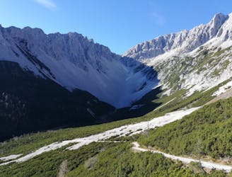
A long but incredibly rewarding trip through the Karwendel mountains.
Difficult Hiking
3.3 km away

Sophisticated alpine hike that offers a great variation of landscapes ending in a ridge with moderate climbing passages.
Severe Hiking
3.7 km away
A gorgeous walk between 2 easily-accessed villages.
Moderate Hiking
4.7 km away
A wonderful and wild hike which is best done using a bike for the approach and descent.
Difficult Hiking

8 routes · Hiking

5 routes · Hiking

9 routes · Hiking

6 routes · Hiking

25 routes · Hiking