1.3 km away
Thaurer Zunterkopf
A wonderful and wild hike which is best done using a bike for the approach and descent.
Difficult Hiking
- Distance
- 9.5 km
- Ascent
- 1.1 km
- Descent
- 1.1 km
A long and scenic journey between some of Tirol's finest huts.
Hiking Difficult

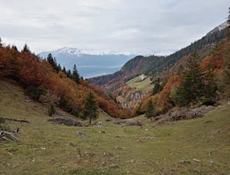
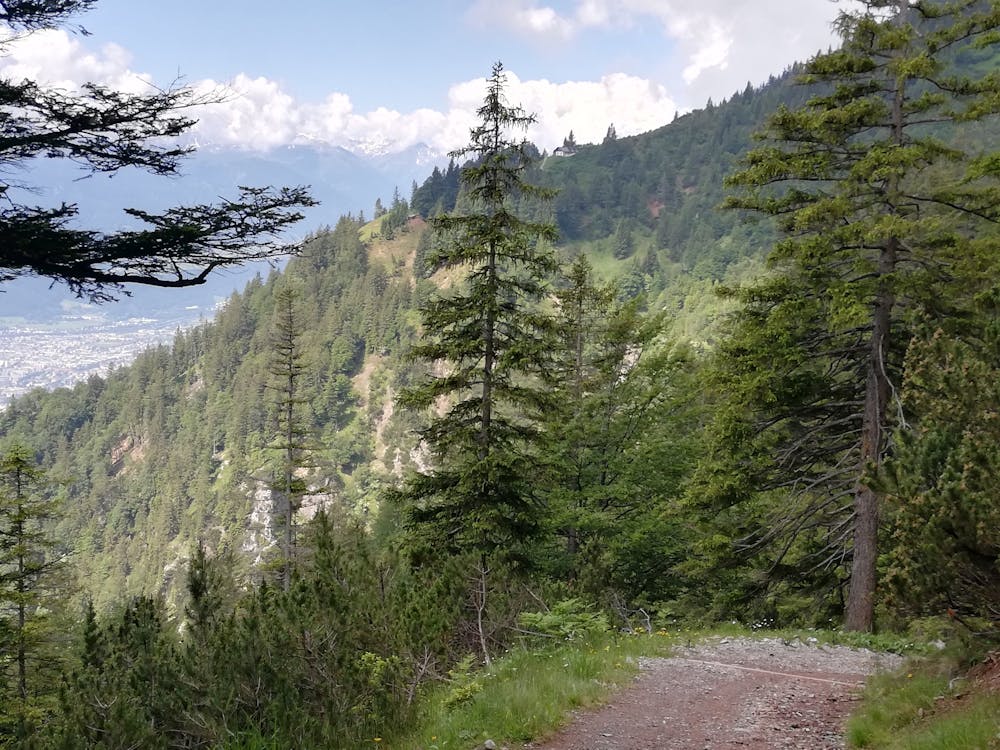
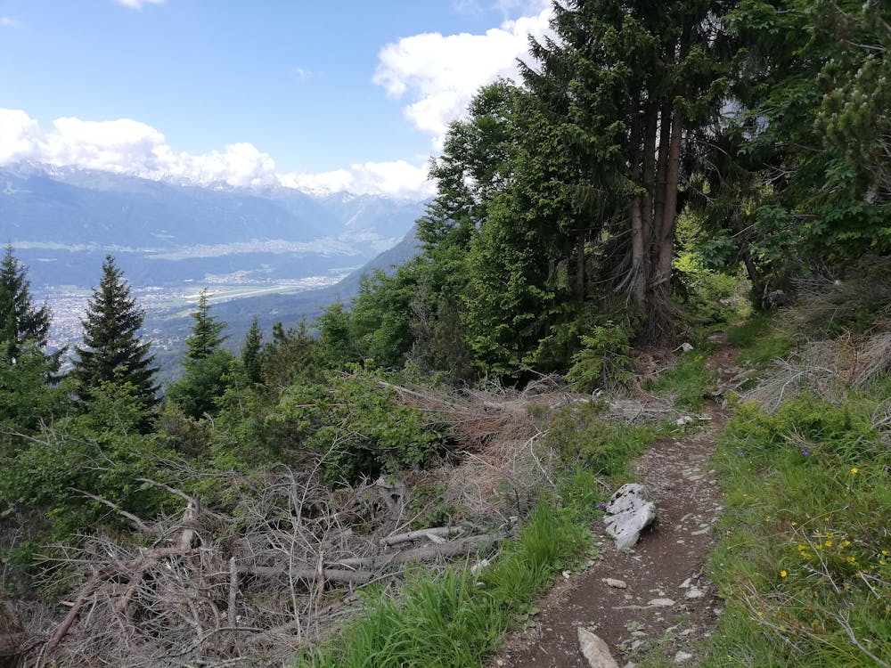
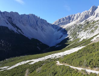
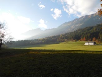
For those willing to tackle some steep paths on both the way up and down, and with the fitness to keep going for a whole day, this is a brilliant hike high above Innsbruck. The trip takes you to a series of beautiful Tirolian mountain huts (alms) and can be accessed on public transport, making logistics remarkably simple. It can be done in either direction but this way is marginally nicer and provides slightly better views of Innsbruck because you are traveling towards the city rather than away from it on the high traverse to and from the Vintl Alm.
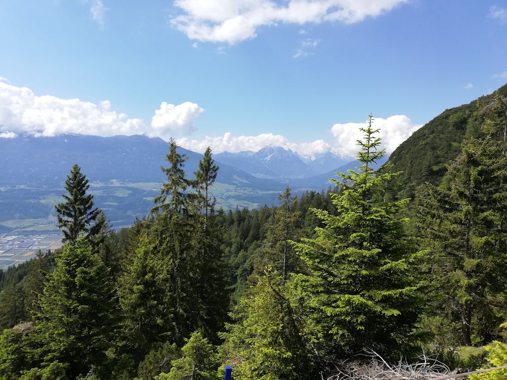
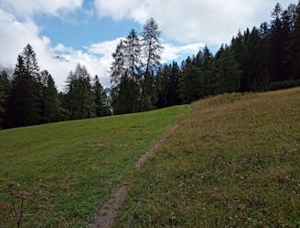
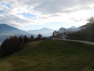
Start out in Thaur village centre and follow some steep roads up to the northern edge of the village. Get into the woods and begin the long and steep climb up to the Thaurer Alm, the first hut on the route. The ascent up to it is unavoidably tough, but your legs should be fresh and once it's done, you've already got most of the day's height gain in the bag. The Alm is spectacularly perched high above the Inn valley and it sits on a steep slope, only improving its position further.
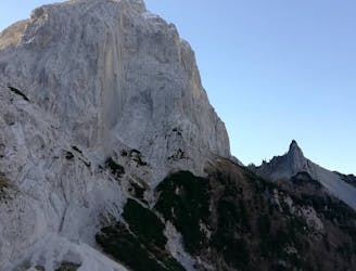
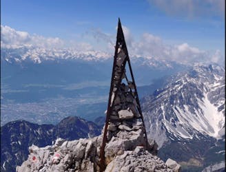
Grab a drink and then make the extremely steep climb up towards the Thaurer Rosskopf peak. The main path that this route follows doesn't go quite to the peak itself but it's only a short detour to the top if you want to tag the summit.
Once level with the Thaurer Rosskopf the terrain becomes much more amenable and you begin the gorgeous hanging traverse/climb up to the Vintl Alm, which is visible throughout the trip to it. Upon arriving, take in the spectacular view and grab another drink.
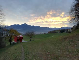
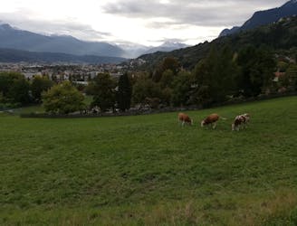
From the Vintl Alm it's around 45 minutes of hiking along a root-covered track to the Rumer Alm - the 3rd hut of the day, and from there you descend past hut number 4 - the Enzian Hut - and then down to the village of Mühlau, from where you can either hike or catch the bus back to Innsbruck.
Difficult
Hiking trails where obstacles such as rocks or roots are prevalent. Some obstacles can require care to step over or around. At times, the trail can be worn and eroded. The grade of the trail is generally quite steep, and can often lead to strenuous hiking.

The trail contains some obstacles such as outcroppings and rock which could cause injury.

Little chance of being seen or helped in case of an accident.
1.3 km away
A wonderful and wild hike which is best done using a bike for the approach and descent.
Difficult Hiking
2 km away
A gorgeous walk between 2 easily-accessed villages.
Moderate Hiking
2.4 km away

Sophisticated alpine hike that offers a great variation of landscapes ending in a ridge with moderate climbing passages.
Severe Hiking
3.8 km away
A gorgeous trip through a wild valley.
Difficult Hiking
3.8 km away
A long and utterly wild adventure through some stunning, remote terrain.
Extreme Hiking
3.9 km away
A big day out through some of the finest scenery in Austria.
Severe Hiking
4.3 km away
An adventurous hike to a scenic peak!
Severe Hiking
5.7 km away
A lovely, sunny walk suitable for the whole family.
Moderate Hiking
5.7 km away
Possibly the most popular hike in Innsbruck and for good reason - this is a lovely little trip.
Moderate Hiking
5.7 km away
A lovely, easy traverse to a charming Tirolian town.
Moderate Hiking

8 routes · Hiking

5 routes · Hiking

9 routes · Hiking

6 routes · Hiking

25 routes · Hiking
7 routes · Alpine Climbing · Mountain Biking · Hiking · Ski Touring