28 m away
Knappensteig
A long and utterly wild adventure through some stunning, remote terrain.
Extreme Hiking
- Distance
- 24 km
- Ascent
- 2.1 km
- Descent
- 1.4 km
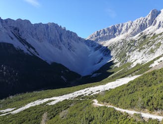
A gorgeous trip through a wild valley.
Hiking Difficult

Most local hikers are keen for any excuse to get into the wild Halltal valley and this hike is one of the best! It involves a long section of road walking both on the way up and down so biking (preferably ebiking) up to the St Magdalena guesthouse is highly recommended. Even if it feels like hard work on the way up, zipping down the tarmac road on a bike feels wonderful at the end of the day! Plenty of hikers do this trip without using a bike and it's excellent whether you choose to ride sections of it or not.
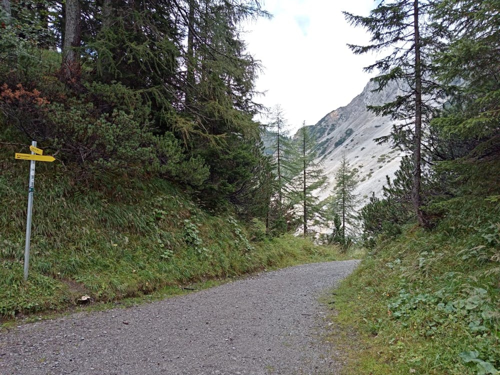
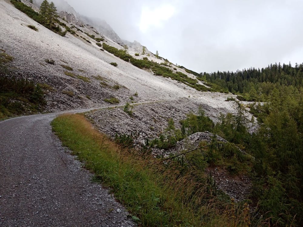
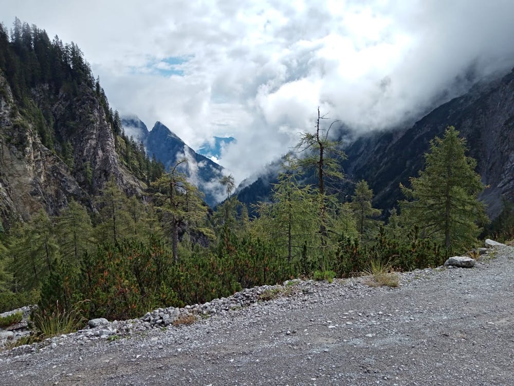
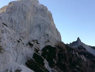
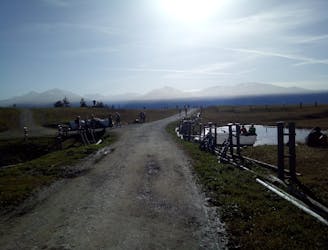
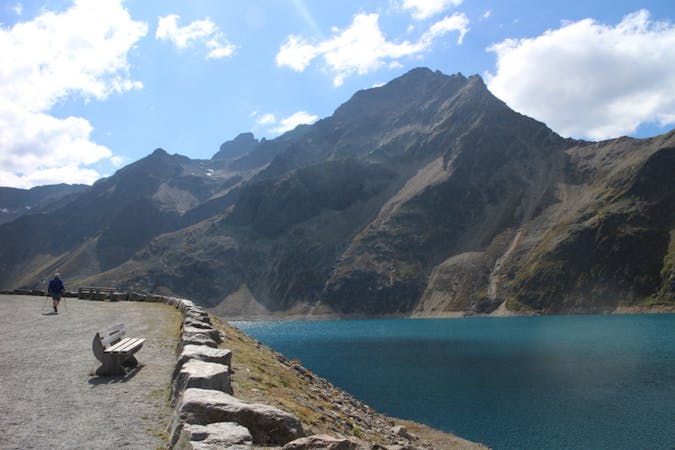
The hike starts at the Halltal parking area, which can be reached by bike, car or public bus. Head north into the Halltal on a tarmac road and follow this as it gradually climbs towards the imposing Großer Bettelwurf peak. The road begins to steepen as it reaches a concrete water treatment building, and then gets extremely steep immediately after the building. Grind up the steep section (which is mercifully brief) and then swing left into a forest which marks the start of the upper Halltal.
Keep heading up the road through some beautiful and intimidating mountain scenery towards the St Magdalena guesthouse. As you draw level with the guesthouse (which is up on the left but hidden from the road by trees) the road turns into a rocky jeep track. Just before it becomes a track, turn right and cross a river to reach a path signposted for the Lafatscherjoch Col and the Hallerangerhaus mountain hut.
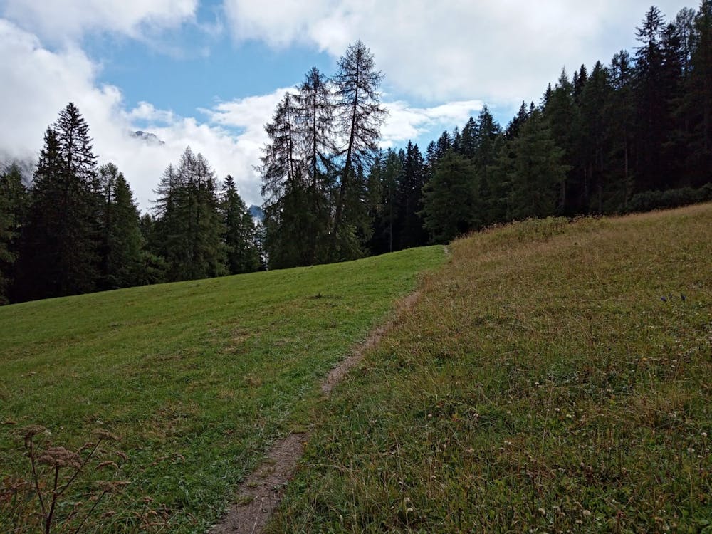
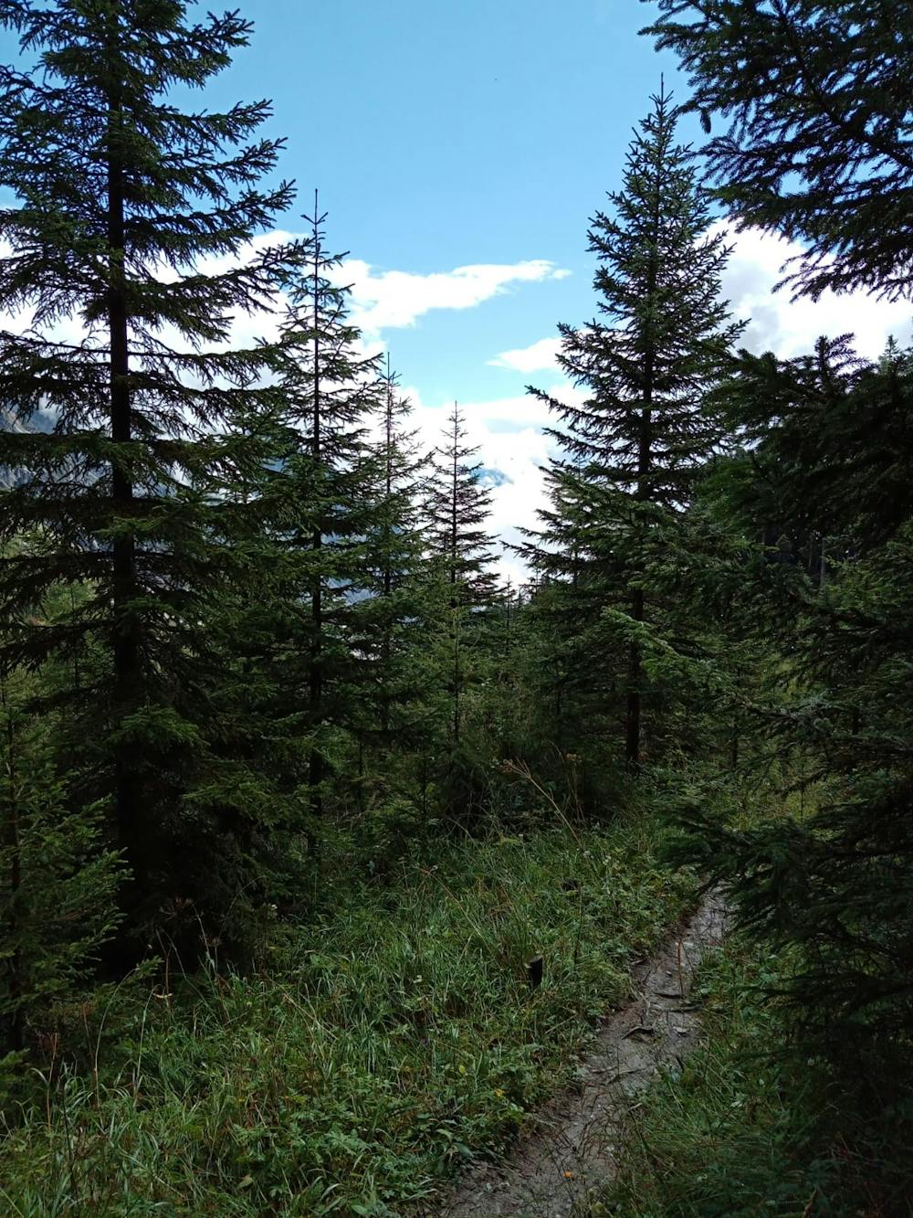
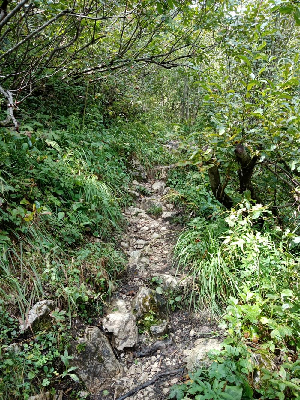
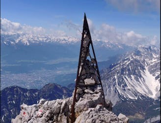
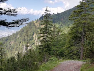
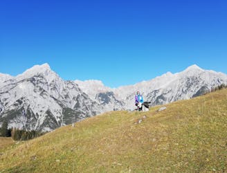
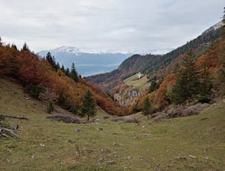
Follow this path through some dense forests and up some steep and rocky sections to reach the Issanger - the name given to a large clearing beneath the Lafatscherjoch Col. The ambience at the Issanger is fabulous and spending some time lying in the fields staring at the imposing peaks above you is highly recommended!
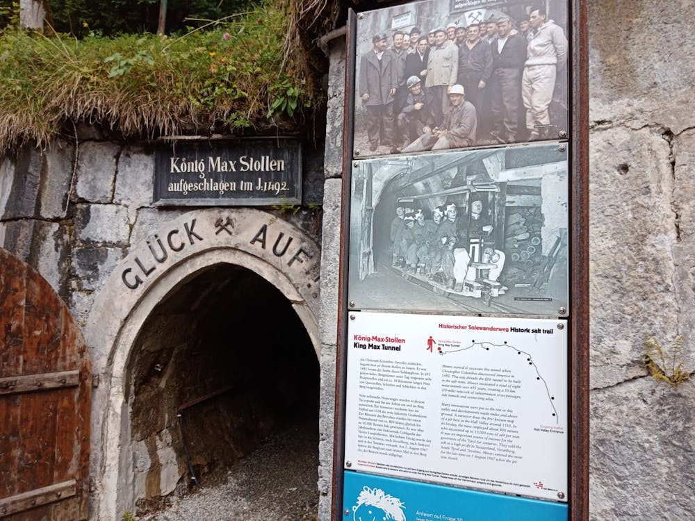
Get going again and climb up to a col where a jeep track begins. Descend the jeep track (which enjoys a fabulous view of the Halltal) to the huge Herrenhäuser buildings, which have a long history as bases for salt mining.
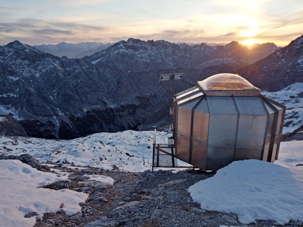
There is evidence of salt mining in the valley as early as the 1200's and by the middle of the last millennium there were over 20 kilometres of tunnels at the head of the Halltal. The mines were shut in the 1960s and following an avalanche in 1999 the Herrenhäuser were abandoned. Nowadays they are slightly spooky but enjoy an excellent view! It's possible to explore some of the old salt mine tunnels on foot from the Herrenhäuser.
Carry on descending on a jeep track from the Herrenhäuser to the St Magdalena guesthouse. Grab a bite to eat and a drink and then descend back to the Halltal entrance.
Difficult
Hiking trails where obstacles such as rocks or roots are prevalent. Some obstacles can require care to step over or around. At times, the trail can be worn and eroded. The grade of the trail is generally quite steep, and can often lead to strenuous hiking.

The trail contains some obstacles such as outcroppings and rock which could cause injury.

Little chance of being seen or helped in case of an accident.
28 m away
A long and utterly wild adventure through some stunning, remote terrain.
Extreme Hiking
102 m away
A big day out through some of the finest scenery in Austria.
Severe Hiking
1.9 km away
An adventurous hike to a scenic peak!
Severe Hiking
3.8 km away
A long and scenic journey between some of Tirol's finest huts.
Difficult Hiking
4.5 km away
A scenic and peaceful day hike which takes you from some of the Tirol’s busiest trails to some its quietest!
Difficult Hiking
4.7 km away
A wonderful and wild hike which is best done using a bike for the approach and descent.
Difficult Hiking
5.4 km away
An atmospheric walk through the forest to a breathtakingly positioned hut
Moderate Hiking
5.8 km away
A gorgeous walk between 2 easily-accessed villages.
Moderate Hiking
6.1 km away

Sophisticated alpine hike that offers a great variation of landscapes ending in a ridge with moderate climbing passages.
Severe Hiking
7.6 km away
A tough grind with an epic reward!
Difficult Hiking
3 routes · Hiking

7 routes · Alpine Climbing · Mountain Biking · Hiking · Trail Running

8 routes · Hiking

9 routes · Hiking

6 routes · Hiking

25 routes · Hiking
7 routes · Alpine Climbing · Mountain Biking · Hiking · Ski Touring