77 m away
Knappensteig
A long and utterly wild adventure through some stunning, remote terrain.
Extreme Hiking
- Distance
- 24 km
- Ascent
- 2.1 km
- Descent
- 1.4 km
A big day out through some of the finest scenery in Austria.
Hiking Severe

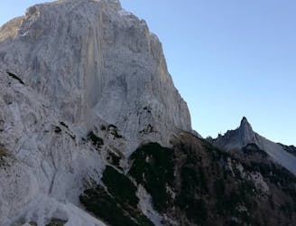
Starting and finishing in the beautiful and deep Halltal valley, this is a classic hike which requires a head for heights, some occasional easy scrambling and a good level of endurance. The pay off for having those things is that you can experience the wilderness and beauty of the Karwendel range - the largest uninhabited area in the Alps and one of the most scenic mountain ranges in Europe.
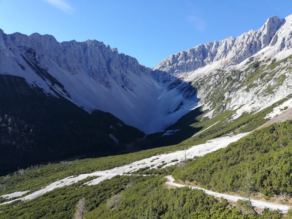
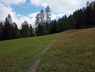
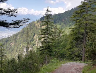
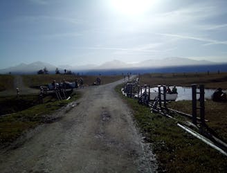
The day starts with a bit of a slog up the road in the lower section of the Halltal from Absam village, and although it's possible to get on and off this a couple of times and get yourself onto some sections of path, the fastest way to get it done is to stick on the road. After about 45 minutes on the road, cross a river to the right and get onto a small path. Follow this up to and then up a scree slope. From the scree slope onwards the hike feels wild and remote.
The section on the scree slope ends when you cross the slope and reach a slightly exposed traverse across a rocky ledge system which is protected by a cable in places. Once off the ledge system, follow the small and often steep path that zig zags up to the Bettelwurf Hut via some short sections of scrambling.
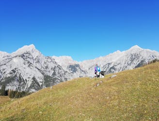
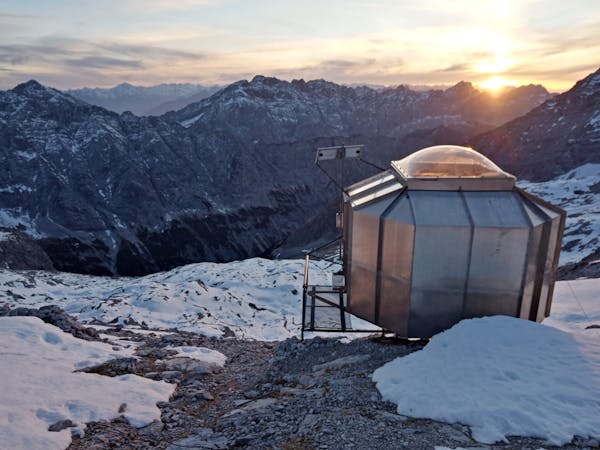
The hut is incredibly well situated and is perched in a seemingly impossible position above some cliffs. There's a great selection of food and drink served at the Hut so grab a bite to eat and soak in the breathtaking views across the Karwendel mountains and down to the (now distant) Inn valley far below.
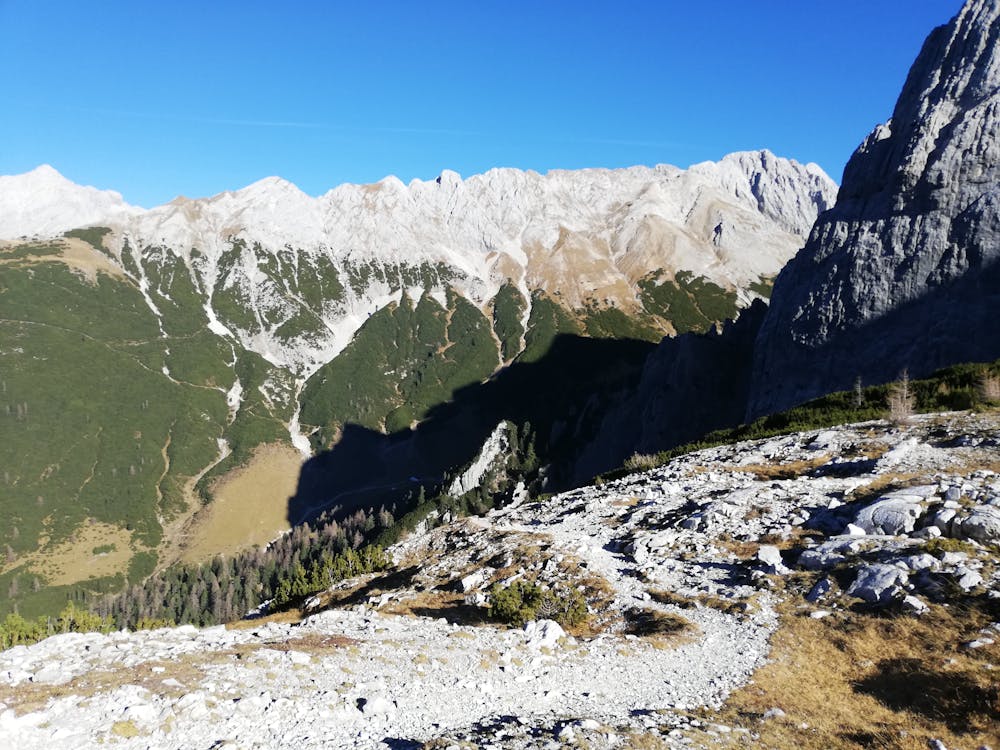
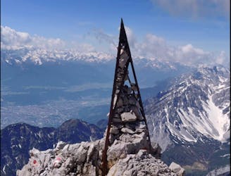
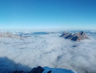
From the Hut, make a long and utterly spectacular traverse across scree slopes to the Lafatscher Joch - a broad col with epic views in all directions.
Descend from the col down into the upper reaches of the Halltal and then continue down this back to the carpark in Absam.
Severe
Hiking challenging trails where simple scrambling, with the occasional use of the hands, is a distinct possibility. The trails are often filled with all manner of obstacles both small and large, and the hills are very steep. Obstacles and challenges are often unexpected and can be unpredictable.

Some trail sections have exposed ledges or steep ascents/descents where falling could cause serious injury.
Little chance of being seen or helped in case of an accident.
77 m away
A long and utterly wild adventure through some stunning, remote terrain.
Extreme Hiking
102 m away
A gorgeous trip through a wild valley.
Difficult Hiking
1.8 km away
An adventurous hike to a scenic peak!
Severe Hiking
3.9 km away
A long and scenic journey between some of Tirol's finest huts.
Difficult Hiking
4.4 km away
A scenic and peaceful day hike which takes you from some of the Tirol’s busiest trails to some its quietest!
Difficult Hiking
4.8 km away
A wonderful and wild hike which is best done using a bike for the approach and descent.
Difficult Hiking
5.3 km away
An atmospheric walk through the forest to a breathtakingly positioned hut
Moderate Hiking
5.9 km away
A gorgeous walk between 2 easily-accessed villages.
Moderate Hiking
6.2 km away

Sophisticated alpine hike that offers a great variation of landscapes ending in a ridge with moderate climbing passages.
Severe Hiking
7.6 km away
A tough grind with an epic reward!
Difficult Hiking
3 routes · Hiking

7 routes · Alpine Climbing · Mountain Biking · Hiking · Trail Running

8 routes · Hiking

9 routes · Hiking

6 routes · Hiking

25 routes · Hiking
7 routes · Alpine Climbing · Mountain Biking · Hiking · Ski Touring