1.8 km away
Bettelwurf Hut and Lafatscher Joch.
A big day out through some of the finest scenery in Austria.
Severe Hiking
- Distance
- 18 km
- Ascent
- 1.5 km
- Descent
- 1.5 km
An adventurous hike to a scenic peak!
Hiking Severe

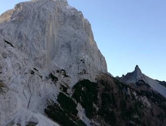
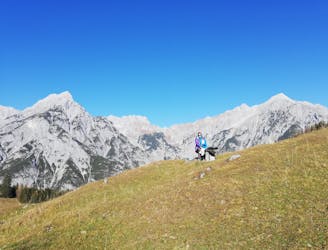
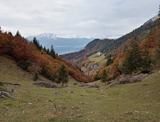
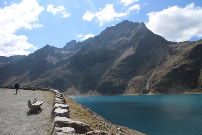
The Großer Bettelwurf really is a classic peak of the Inn valley - for a reason! It sits high above the Inn valley and overlooks many surrounding mountains.
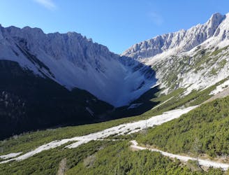
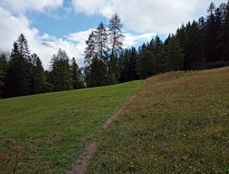
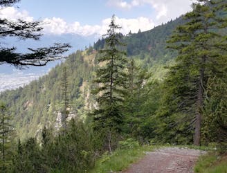
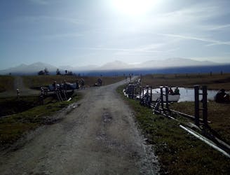
The peak either can be reached from the west via some via ferrata action (grade C/D) or the easier south ridge (Eisengattergrat). Either way, both trails start from the Hallvalley. As it is closed for cars since 2012, you can only drive from Absam to a parking lot at the entrance to the valley. From there a 45 minute walk on a trail next to the closed road takes you to the second Ladhütte, where the hike really starts. The bus 502 Eichat Föhrenwald from IBK main station to the station Eichat Bettelwurfsiedlung will get you to the entrance of the Hall valley as well and offers the opportunity to bring your bike, so the rather boring walk into the Hall valley can be avoided and the way back down and out of the valley brings some joy after the hike!
The real trail begins when you reach the second Lad hut. Follow the signs to the Bettelwurfhütte through mountain pine forests and some debris fields until you reach the hut, where you get a first glimpse of the panorama from the top. Be aware that the following hike to the top is south facing and without any shade, so make sure to start early and bring some sun protection.
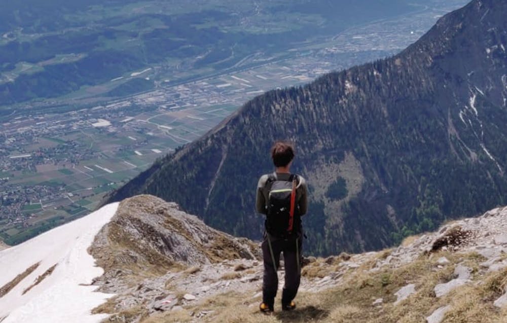
This route then follows the trail in a north-westerly direction towards the Kleiner Bettwurf, not the Eisengattergrat, and consists of steep trails and some scrambling until the ridge between the small (Kleiner) and big (Großer) Bettelwurf is reached. You then continue to the right (east) for the last section to the peak. Unexperienced hikers with some fear of heights may feel safer here with a harness and carabiners for the following via ferrata, but if you can do the Brandjochspitze south ridge without a harness, then this next section should be no problem for you as well. But beside from that, this C/D grade via ferrata for sure demands no fear of heights and good sure-footedness. It also offers some scenic ridge scrambling, the reason we came here!
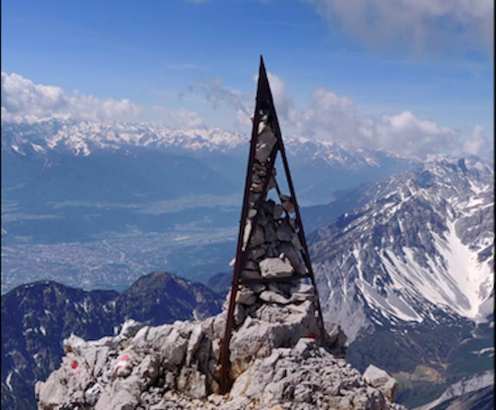
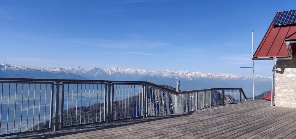
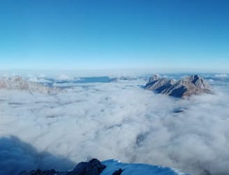
The peak, being the 5th highest of the Karwendel, offers a great 360° view over the Innvalley and the Karwendel. The hike then descends via the steep south ridge (Eisengattergrat) to the Bettelwurfhütte. Early summer hikers may find the opportunity to slide down over snowfields and therefore speed up this rather long and tiring trail back to the hut. The Bettelwurfhütte offers a variety of Tyrolean lunches and cold drinks - the long awaited opportunity for a break after many vertical meters. Descend via the trail you took earlier in the day to get back to your bikes and enjoy rolling down to the bus stop!
Severe
Hiking challenging trails where simple scrambling, with the occasional use of the hands, is a distinct possibility. The trails are often filled with all manner of obstacles both small and large, and the hills are very steep. Obstacles and challenges are often unexpected and can be unpredictable.

Some trail sections are extremely exposed where falling will almost certainly result in serious injury or death.

Little chance of being seen or helped in case of an accident.
1.8 km away
A big day out through some of the finest scenery in Austria.
Severe Hiking
1.9 km away
A long and utterly wild adventure through some stunning, remote terrain.
Extreme Hiking
1.9 km away
A gorgeous trip through a wild valley.
Difficult Hiking
4.3 km away
A scenic and peaceful day hike which takes you from some of the Tirol’s busiest trails to some its quietest!
Difficult Hiking
4.3 km away
A long and scenic journey between some of Tirol's finest huts.
Difficult Hiking
4.8 km away
A wonderful and wild hike which is best done using a bike for the approach and descent.
Difficult Hiking
5.8 km away
A tough grind with an epic reward!
Difficult Hiking
5.8 km away
An atmospheric walk through the forest to a breathtakingly positioned hut
Moderate Hiking
6.1 km away
A gorgeous walk between 2 easily-accessed villages.
Moderate Hiking
6.2 km away

Sophisticated alpine hike that offers a great variation of landscapes ending in a ridge with moderate climbing passages.
Severe Hiking
3 routes · Hiking

7 routes · Alpine Climbing · Mountain Biking · Hiking · Trail Running

8 routes · Hiking

9 routes · Hiking

6 routes · Hiking

25 routes · Hiking
7 routes · Alpine Climbing · Mountain Biking · Hiking · Ski Touring