5.8 km away
Großer Bettelwurf
An adventurous hike to a scenic peak!
Severe Hiking
- Distance
- 11 km
- Ascent
- 1.8 km
- Descent
- 1.8 km
A tough grind with an epic reward!
Hiking Difficult

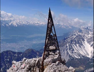
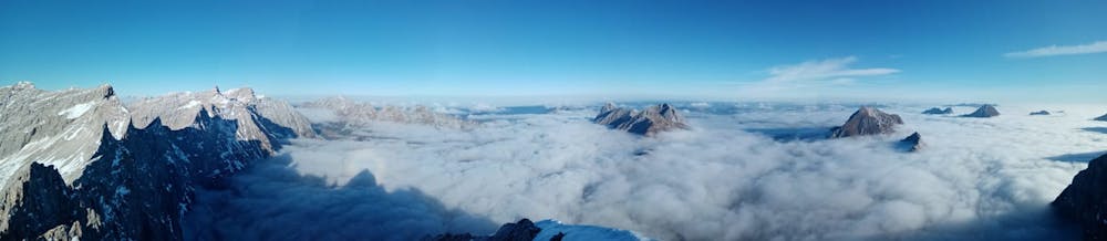
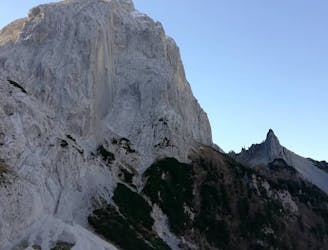
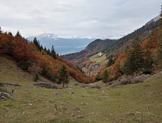
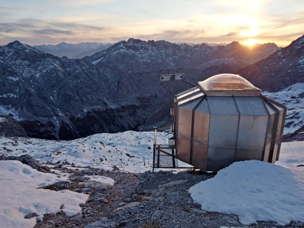
Although best combined with the Laliderer Spitze and Dreizinkenspitze, simply hiking up to the Karl Schuster bivouac hut, staying the night and then hiking down the same route the following day is a brilliant adventure in itself. The hut is perched just metres away from the huge, vertical wall of the Laliderer Spitze north face and enjoys a staggering view across the peaks of the Karwendel, Stubai and Ötztaler alps, so just visiting it is a worthwhile experience.

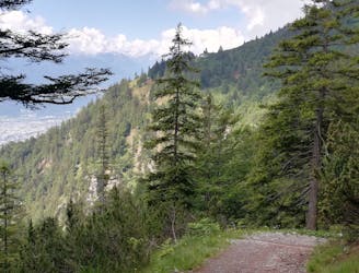
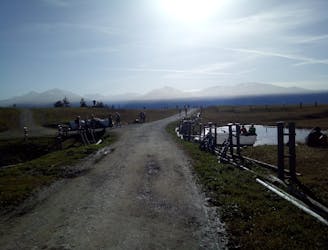
The hike starts from the highpoint of the "Scharnitz to Roßloch via the Kastenalm" bike ride, and there are plenty of trees to lock your bike to before setting off. There isn't much chance of your bikes getting stolen while you're up at the Karl Schuster bivouac hut, but if you were unlucky and they did go missing, you'd have almost 20 kilometres of "bonus" hiking on which to consider your bad luck!
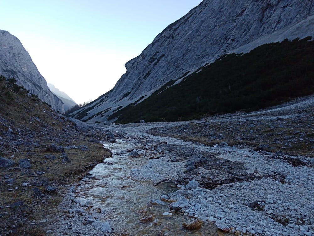
The river where you swap from bike to foot is the last water source available so - unless the hut has snow close to it which you can melt - you'll need to stock up on enough water to keep you going until you return to the bikes. In the height of summer, when the area around the hut is bone dry, that will likely involve carrying around 5 litres of water per person.
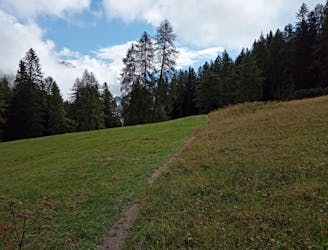
Set off hiking by following a clear, rocky path east which leads you away from the riverbed and then, after about 20 minutes, back to it. Cross over the riverbed and then climb a steep, rocky path up through trees and to the foot of the huge bowl which houses - at its high point - the Karl Schuster bivouac hut.
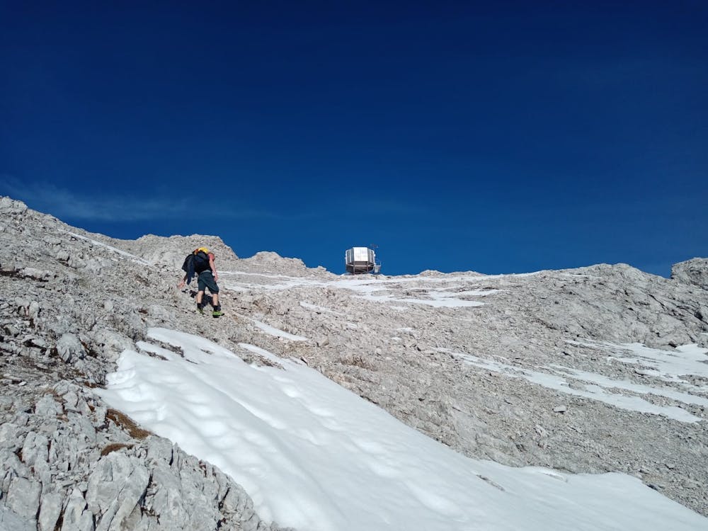
After leaving the trees the path becomes less and less clear - you'll need to a keen eye for red paint marks and a good nose for micro route-finding if you are to stick to the exact line shown here. Luckily the terrain is pretty similar everywhere around the trail so if you lose it but are heading in the right general direction, you should be fine.
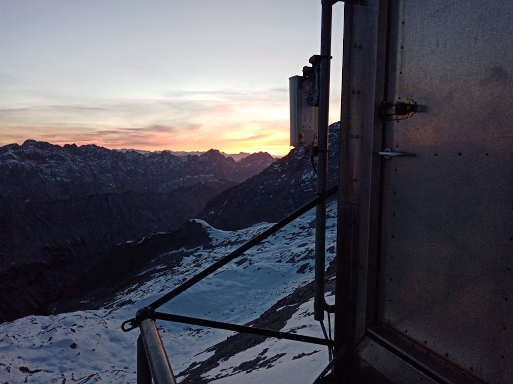
The hut appears on the horizon as you enter the upper part of the bowl, and it should provide the motivation required to get up the final steep slog. Upon arriving, unbolt the door and get settled in! The whole situation of the hut is utterly breathtaking and incredibly peaceful. Enjoy a quiet night in one of the most remote huts in the Alps.
Difficult
Hiking trails where obstacles such as rocks or roots are prevalent. Some obstacles can require care to step over or around. At times, the trail can be worn and eroded. The grade of the trail is generally quite steep, and can often lead to strenuous hiking.

The trail contains some obstacles such as outcroppings and rock which could cause injury.

In the high mountains or remote conditions, all individuals must be completely autonomous in every situation.
5.8 km away
An adventurous hike to a scenic peak!
Severe Hiking
7.5 km away
A scenic and peaceful day hike which takes you from some of the Tirol’s busiest trails to some its quietest!
Difficult Hiking
7.6 km away
A big day out through some of the finest scenery in Austria.
Severe Hiking
7.6 km away
A long and utterly wild adventure through some stunning, remote terrain.
Extreme Hiking
7.6 km away
A gorgeous trip through a wild valley.
Difficult Hiking
8.3 km away
A wonderful and wild hike which is best done using a bike for the approach and descent.
Difficult Hiking
8.8 km away
A long and scenic journey between some of Tirol's finest huts.
Difficult Hiking
9.5 km away

Sophisticated alpine hike that offers a great variation of landscapes ending in a ridge with moderate climbing passages.
Severe Hiking
9.6 km away
A gorgeous walk between 2 easily-accessed villages.
Moderate Hiking
9.6 km away
An atmospheric walk through the forest to a breathtakingly positioned hut
Moderate Hiking
3 routes · Hiking

7 routes · Alpine Climbing · Mountain Biking · Hiking · Trail Running

8 routes · Hiking

9 routes · Hiking

6 routes · Hiking

25 routes · Hiking
7 routes · Alpine Climbing · Mountain Biking · Hiking · Ski Touring