53 m away
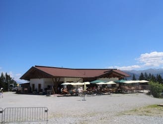
Arzler and Umbruggler Alms Loop
A stunning and non-technical trip to a couple of lovely mountain huts.
Easy Mountain Biking
- Distance
- 8.1 km
- Ascent
- 387 m
- Descent
- 387 m

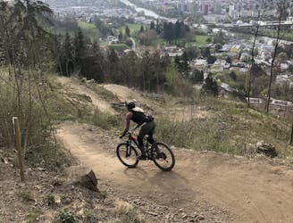
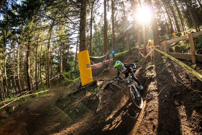
The Arzler Trail is a famous route which is popular, well maintained and great fun. It's ridden by hundreds of riders per day and is particularly busy in the evening when the locals pedal up for an after-work ride. The terrain is generally pretty mellow but the middle section is fairly technical and involves some steep, rocky steps. If you skip this part out, the grade of the trail drops to "Moderate".
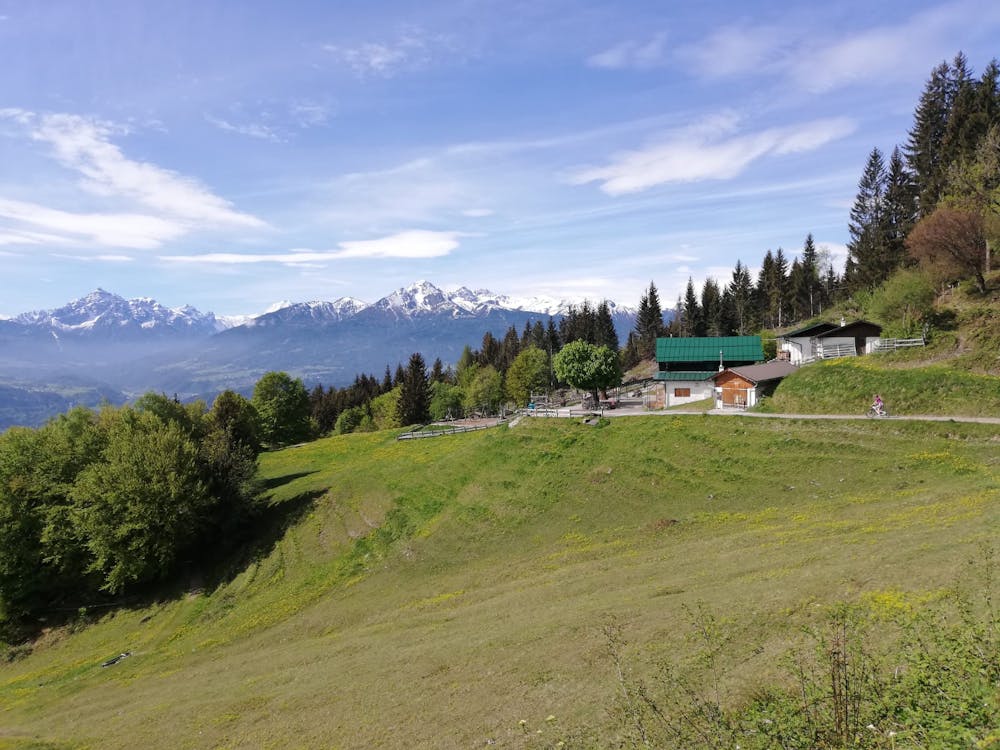
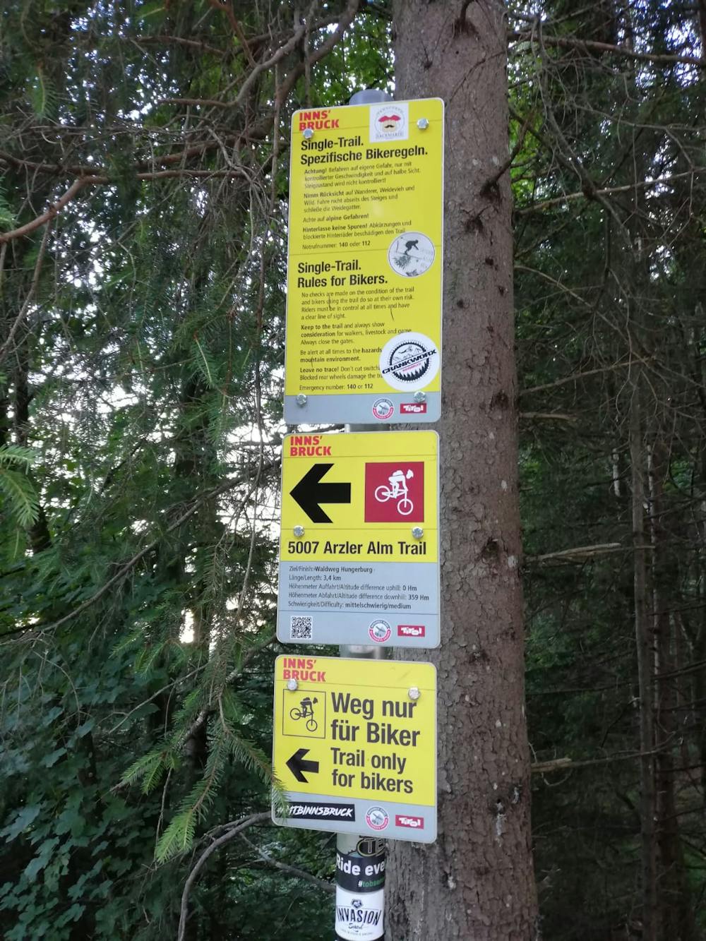
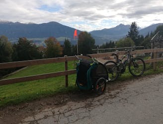
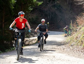
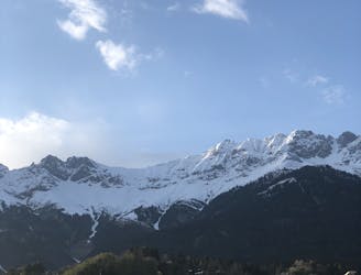
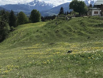
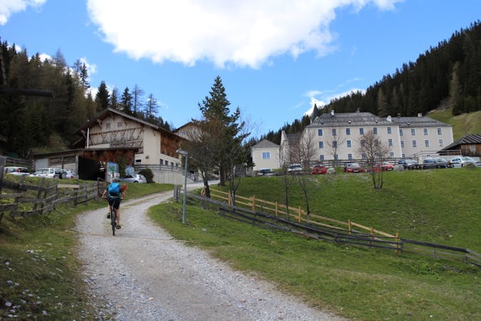
The trip starts out at the Hungerburg station which can be reached via the Hungerburgbahn train, the "J" bus, or - if you're really keen - pedal power! Cross the Hungerburg carpark to reach Rosnerweg road. Turn right on this and follow it as it climbs into a forest and becomes a jeep track. The track traverses for a kilometre or so and then turns left and climbs up towards the Arzler Alm mountain hut (which is well signposted). At the same moment that you first glimpse the Arzler Alm you arrive at the start of the Arzler trail. It's a very short detour to the hut itself if you want to go and grab a drink but most riders just drop straight in for their well-earned thrills!
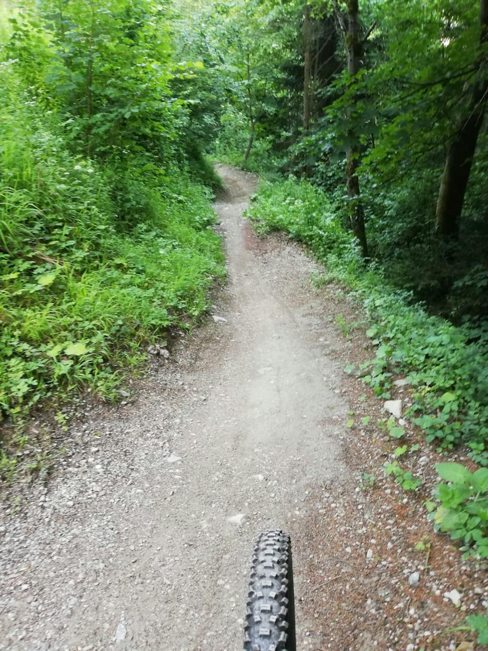
The first section of the trail is flowy and goes over some gap jumps which are easy to roll over if you don't want to take any air. There are a couple of tight-ish bends but otherwise nothing too technical. The second section of the trail, reached after you cross a jeep track, is pretty similar and leads you back onto the Rosnerweg track which you rode up.
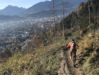
The section below the Rosnerweg is the toughest on the whole trail and features some tight, rocky turns and some steep drops too. You can circumnavigate this section by riding back to Hungerburg on the Rosnerweg and then following another jeep track down to join up with the next section of the trail.
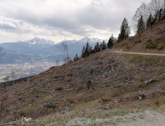
The next section, which begins just above the Innsbruck suburb of Mühlau, is much like the first 2 parts of the ride but goes through much tighter trees and is not as well lit - if you're racing to get down before darkness this bit feels pretty tricky! Luckily the riding is pretty steady.
The trail briefly crosses a jeep track close to the Alpenzoo and then a final whip around some fun bends (including a couple of tight ones right at the end) leads to Richardsweg road. Rip down this back to Innsbruck.
Difficult
Mostly stable trail tread with some variability featuring larger and more unavoidable obstacles that may include, but not be limited to: bigger stones, roots, steps, and narrow curves. Compared to lower intermediate, technical difficulty is more advanced and grades of slopes are steeper. Ideal for upper intermediate riders.

The trail contains some obstacles such as outcroppings and rock which could cause injury.
Away from help but easily accessed.
53 m away
A stunning and non-technical trip to a couple of lovely mountain huts.
Easy Mountain Biking
330 m away
A very easy to access trail, thanks to the public transportation in Innsbruck
Moderate Mountain Biking
1.3 km away
The longest single trail in Innsbruck - enjoy the breathtaking view in between a feature and the next one.
Difficult Mountain Biking
1.8 km away
Gravel experience of Nordkette from west to east.
Difficult Mountain Biking
1.9 km away
Mini Gravel route just outside the city center.
Easy Mountain Biking
1.9 km away
A nice spin on the cycling paths alongside the Inn.
Easy Mountain Biking
1.9 km away
All the way up from the city to Arzler Alm - where the single trail starts.
Moderate Mountain Biking
3.7 km away
A sunny and beautiful trip between 5 classic Austrian mountain huts.
Easy Mountain Biking
3.7 km away
A technically easy but physically hard ride to a stunning and rustic mountain hut.
Moderate Mountain Biking
7.5 km away
A medium difficulty, circular route on the southern side of the Inn Valley. The elevation gain is just under 900m, but all the uphill is covered in the first half, allowing for an easy finish after lunch!
Moderate Mountain Biking
5 routes · Mountain Biking

24 routes · Mountain Biking
7 routes · Mountain Biking