25 m away
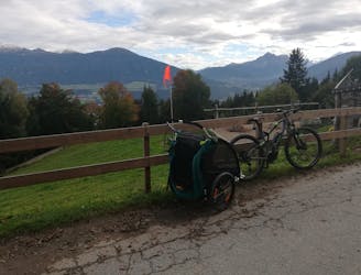
Innway
A nice spin on the cycling paths alongside the Inn.
Easy Mountain Biking
- Distance
- 7.4 km
- Ascent
- 42 m
- Descent
- 42 m
Mini Gravel route just outside the city center.
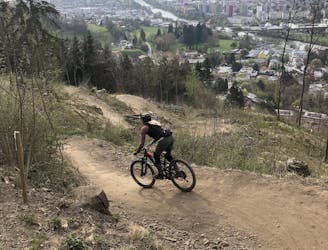
Mountain Biking Easy

The closest and fastest gravel experience you could ask for!

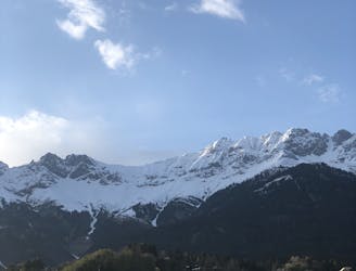
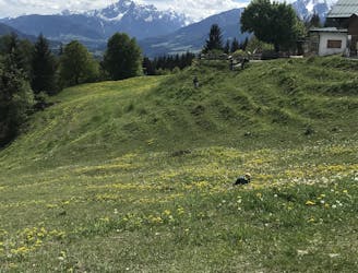
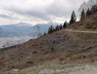
Starting from the city center and escaping from all the fuss going for a fast loop in the lower part of Nordkette can elevate one's spirits. On both perfectly maintained gravel and asphalt roads ascending towards the historical district of Mühlau leads you North East of Innsbruck.
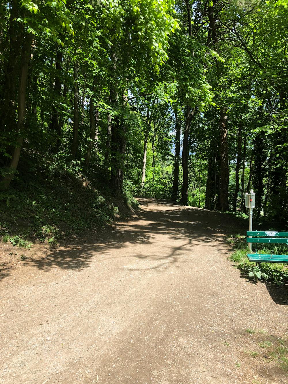
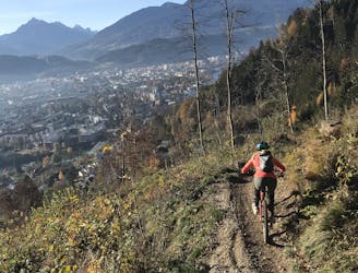
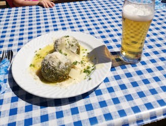
Going downhill on asphalt leads you back to Mühlau bridge and back to the cycling path towards the city center. Take a break on the riverside, benches and some green areas are on the way back to town.
The perfect loop for a fast training session, or for relaxing and escaping from the city when you don’t have much time. Either way, a gravel bike, a cross-country or an enduro one will work fine for this fast experience!
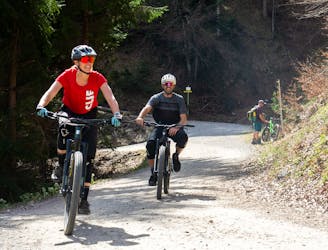
During Crankworx Innsbruck, this is a recommended route for testing the bikes available at the exhibitor booths in the Expo Area. Take them for a fast ride on all the different terrains this route offers and start comparing them, time for decisions!
Easy
Mostly smooth and non-technical singletrack with unavoidable obstacles 2in/5cm tall or less. Avoidable obstacles may be present. Ideal for beginner riders.

The path is on completely flat land and potential injury is limited to falling over.
Close to help in case of emergency.
25 m away
A nice spin on the cycling paths alongside the Inn.
Easy Mountain Biking
41 m away
All the way up from the city to Arzler Alm - where the single trail starts.
Moderate Mountain Biking
46 m away
Gravel experience of Nordkette from west to east.
Difficult Mountain Biking
1.9 km away
A stunning and non-technical trip to a couple of lovely mountain huts.
Easy Mountain Biking
1.9 km away
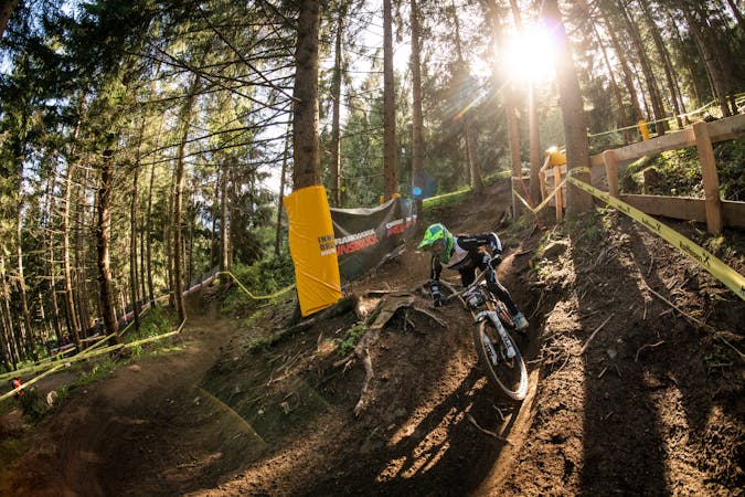
Innsbruck's best known trail is worth the hype!
Difficult Mountain Biking
2.1 km away
A very easy to access trail, thanks to the public transportation in Innsbruck
Moderate Mountain Biking
3.2 km away
The longest single trail in Innsbruck - enjoy the breathtaking view in between a feature and the next one.
Difficult Mountain Biking
4.5 km away
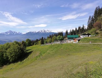
A sunny and beautiful trip between 5 classic Austrian mountain huts.
Easy Mountain Biking
4.5 km away
A technically easy but physically hard ride to a stunning and rustic mountain hut.
Moderate Mountain Biking
5.7 km away
A medium difficulty, circular route on the southern side of the Inn Valley. The elevation gain is just under 900m, but all the uphill is covered in the first half, allowing for an easy finish after lunch!
Moderate Mountain Biking
5 routes · Mountain Biking

24 routes · Mountain Biking
7 routes · Mountain Biking