25 m away
The Nordkette 5 Alms Tour
A sunny and beautiful trip between 5 classic Austrian mountain huts.
Easy Mountain Biking
- Distance
- 22 km
- Ascent
- 1.1 km
- Descent
- 1.1 km
A technically easy but physically hard ride to a stunning and rustic mountain hut.
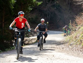
Mountain Biking Moderate

There are many ways of accessing this lovey ride but the line drawn here is the one that makes the best use of Innsbruck's public transport system, and also gives you a good excuse to visit 2 charming Tirolian villages.
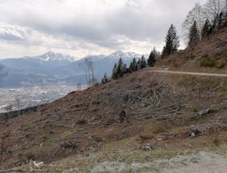
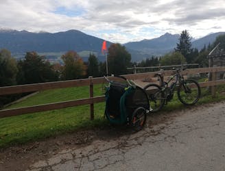
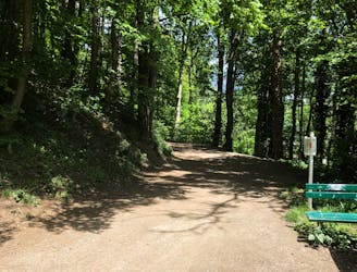
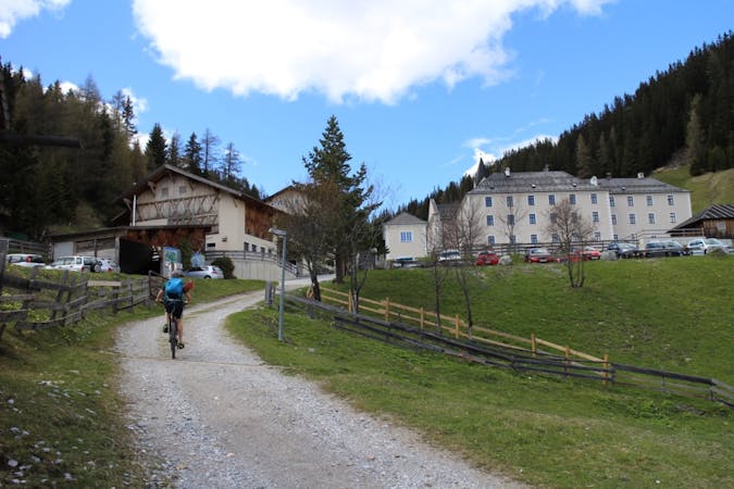
Start the day by catching the "A" bus to Rum Sanitorium (a private hospital just above the centre of Rum village) and then riding up the steep road which leads north towards to the Rumer Alm and Rechenhof restaurant. Upon reaching a 4 way junction where Rechenhof is signposted as being on the left, turn right and head onto a lovely, smooth track through a forest. Follow this as it undulates pleasantly to a large information board just above the Thaurer Alm parking area.
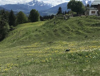
Turn left at the board and begin the gradual climb up a smooth jeep track towards the Thaurer Alm itself. The climb is mellow enough until you near the treeline, at which point it steepens considerably. By the time you leave the trees entirely the track is super steep and all but the strongest of riders will have to get off and push for a couple of very brief sections. By the time it gets steep enough to require some pushing the hut is in sight and close by, which should provide sufficient motivation for you to keep going!
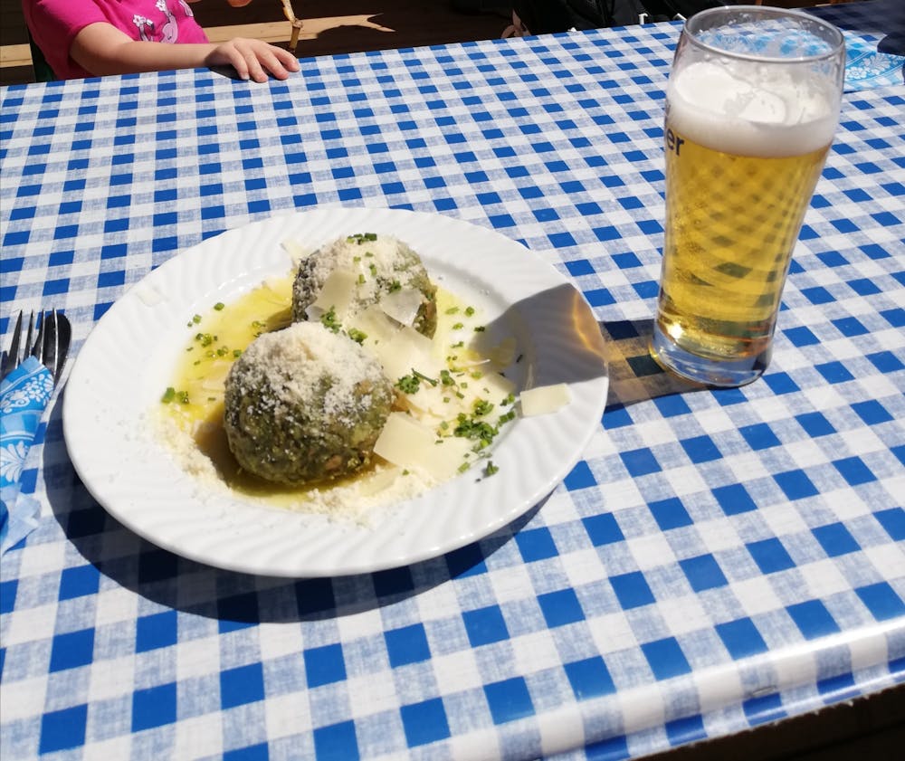
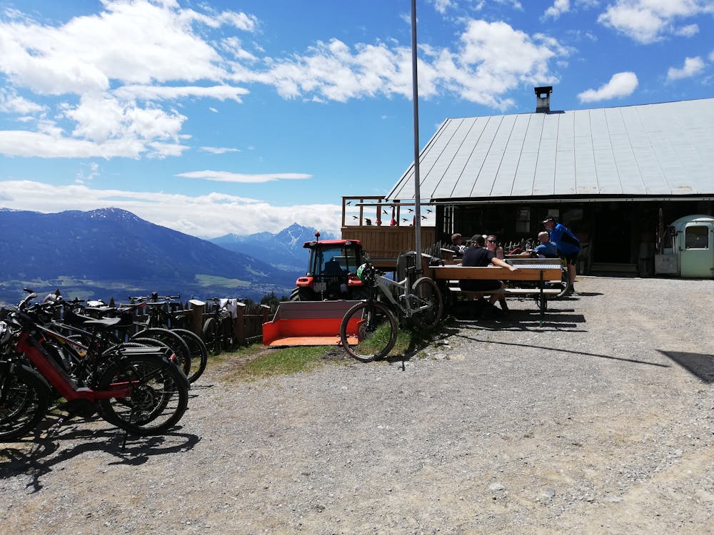
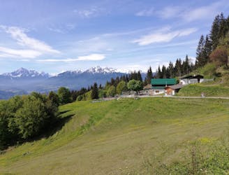
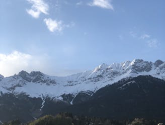
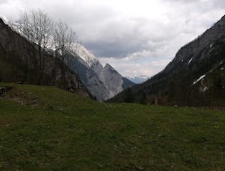
When you do finally reach the hut you are rewarded with a quite staggering view - the ground beneath the Thaurer Alm drops away steeply and the hut feels like it's perched perilously high above the Inn valley. Whilst tucking into your Tirolian delicacy of choice you'll be able to pick out some of the areas best known peaks, and soak in the sun.
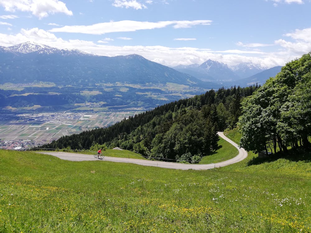
Full of good food (and probably sunburnt!) saddle up again and descend back down the track all the way to the information board. Either descend from here straight to Thaur village or (recommended and drawn here) traverse eastwards for a kilometre or so on a good track and then descend the beautiful steep streets of Thaur's northern suburbs.
Once in Thaur village, ride home or jump on one of the regular buses.
Moderate
Mostly stable trail tread with some variability, with unavoidable obstacles 8in/20cm tall or less. Other obstacles such as rock gullies and steep sections may exist. Ideal for lower intermediate riders.

The trail contains some obstacles such as outcroppings and rock which could cause injury.
Away from help but easily accessed.
25 m away
A sunny and beautiful trip between 5 classic Austrian mountain huts.
Easy Mountain Biking
3.3 km away
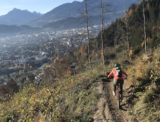
The longest single trail in Innsbruck - enjoy the breathtaking view in between a feature and the next one.
Difficult Mountain Biking
3.4 km away
A very easy to access trail, thanks to the public transportation in Innsbruck
Moderate Mountain Biking
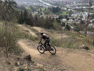
3.7 km away
Innsbruck's best known trail is worth the hype!
Difficult Mountain Biking
3.7 km away
A stunning and non-technical trip to a couple of lovely mountain huts.
Easy Mountain Biking
4.5 km away
Gravel experience of Nordkette from west to east.
Difficult Mountain Biking
4.5 km away
Mini Gravel route just outside the city center.
Easy Mountain Biking
4.6 km away
A nice spin on the cycling paths alongside the Inn.
Easy Mountain Biking
4.6 km away
All the way up from the city to Arzler Alm - where the single trail starts.
Moderate Mountain Biking
5.8 km away
A technically easy but physically tough route deep into a gorgeous valley.
Moderate Mountain Biking
5 routes · Mountain Biking

24 routes · Mountain Biking
7 routes · Mountain Biking