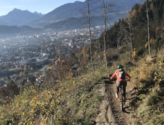
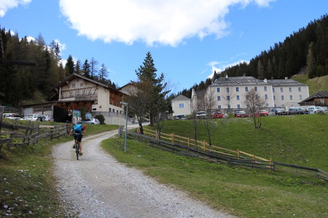
17 m away
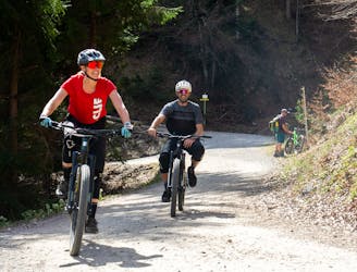
Arzler Experience
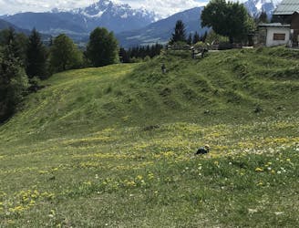
All the way up from the city to Arzler Alm - where the single trail starts.
Moderate Mountain Biking
- Distance
- 6.9 km
- Ascent
- 563 m
- Descent
- 59 m
A nice spin on the cycling paths alongside the Inn.
Mountain Biking Easy

Whether you want to take a solo spin to switch off your mind or have a stroll with your beloved, this effortless route will allow you to relax and enjoy the view over the river and across the bridges, without being in the middle of the traffic. This route is almost completely traffic-free since it is almost entirely running on cycling paths.
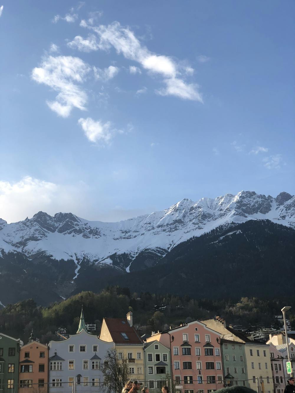
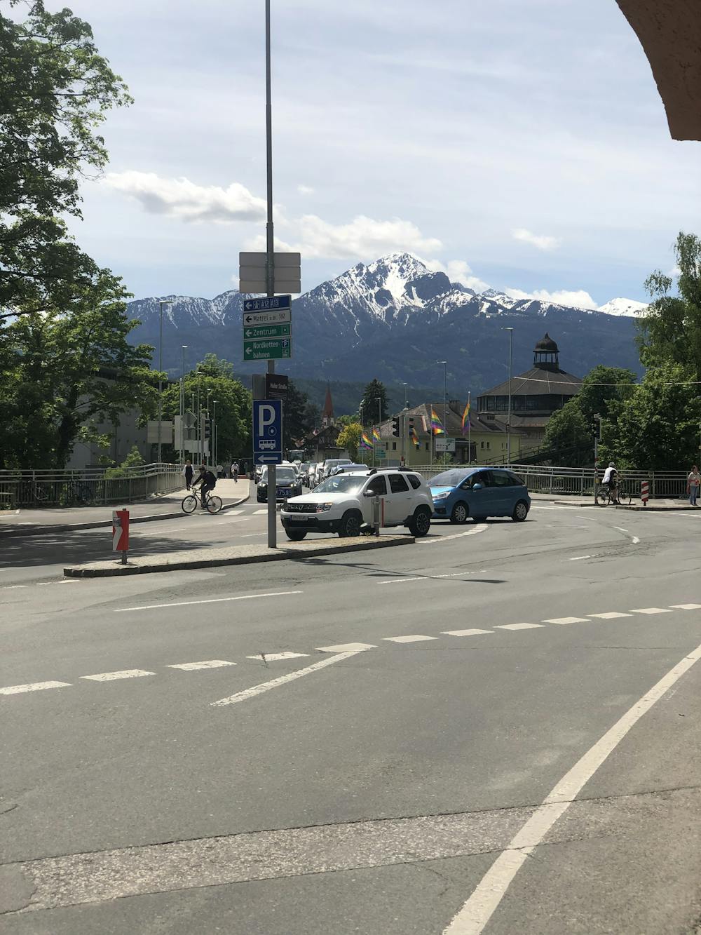
While pedaling, you can admire the landscapes around the town, surrounded by mountains. Looking towards the south, the Serles will sometimes appear in between the buildings. While looking towards the north, the view of Nordkette will be with you all along the route.
With so many different bars on the route, why not stop to enjoy an ice cream or a cold drink while sitting on the river? Many benches are ready for you, letting you relax in this green area in the middle of the city!
Easy
Mostly smooth and non-technical singletrack with unavoidable obstacles 2in/5cm tall or less. Avoidable obstacles may be present. Ideal for beginner riders.

The path is on completely flat land and potential injury is limited to falling over.
Close to help in case of emergency.
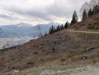
17 m away
All the way up from the city to Arzler Alm - where the single trail starts.
Moderate Mountain Biking
25 m away
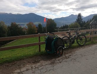
Mini Gravel route just outside the city center.
Easy Mountain Biking
70 m away
Gravel experience of Nordkette from west to east.
Difficult Mountain Biking
1.9 km away
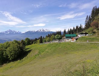
A stunning and non-technical trip to a couple of lovely mountain huts.
Easy Mountain Biking
1.9 km away
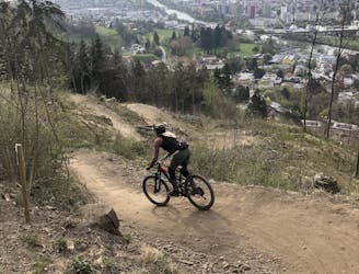
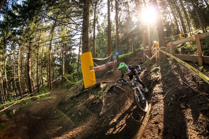
Innsbruck's best known trail is worth the hype!
Difficult Mountain Biking
2.2 km away
A very easy to access trail, thanks to the public transportation in Innsbruck
Moderate Mountain Biking
3.2 km away
The longest single trail in Innsbruck - enjoy the breathtaking view in between a feature and the next one.
Difficult Mountain Biking
4.6 km away
A sunny and beautiful trip between 5 classic Austrian mountain huts.
Easy Mountain Biking
4.6 km away
A technically easy but physically hard ride to a stunning and rustic mountain hut.
Moderate Mountain Biking
5.7 km away
A medium difficulty, circular route on the southern side of the Inn Valley. The elevation gain is just under 900m, but all the uphill is covered in the first half, allowing for an easy finish after lunch!
Moderate Mountain Biking
5 routes · Mountain Biking

24 routes · Mountain Biking
7 routes · Mountain Biking