1.4 km away
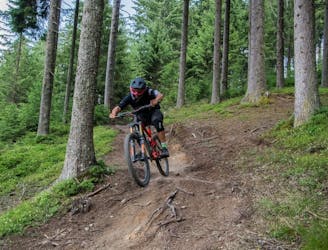
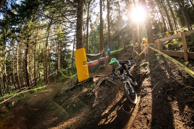
Crankworx Innsbruck Downhill Track - The Straight One
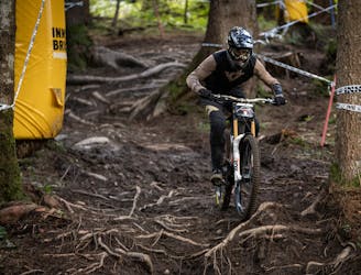
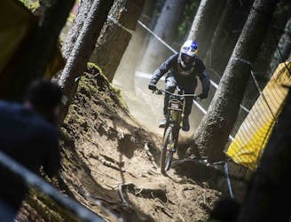
Competition Track of deuter Downhill presented by Raiffeisen Club 2021
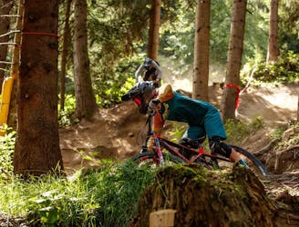
Extreme Mountain Biking
- Distance
- 2 km
- Ascent
- 0 m
- Descent
- 352 m
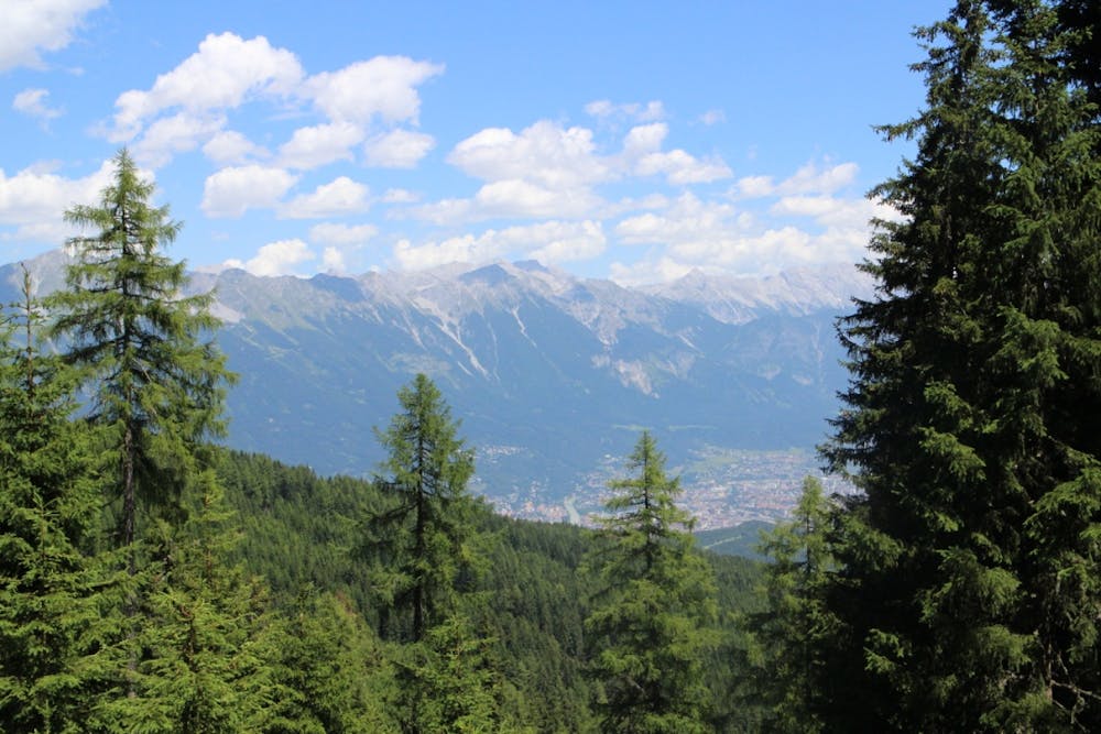
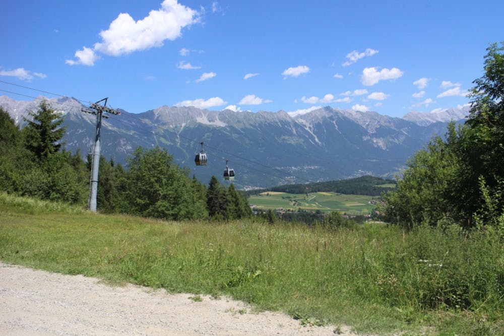
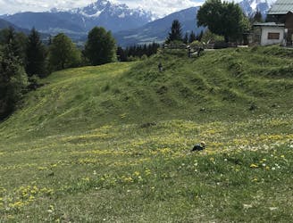
A medium difficulty, circular route on the southern side of the Inn Valley. The elevation gain is just under 900m, but all the uphill is covered in the first half, allowing for an easy finish after lunch!
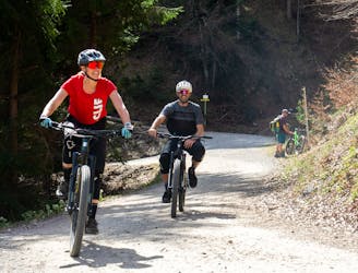
Mountain Biking Moderate

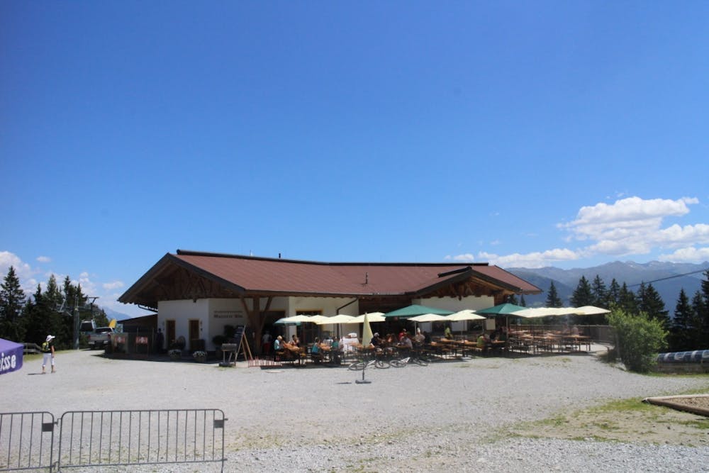
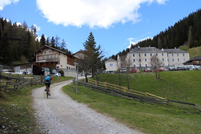
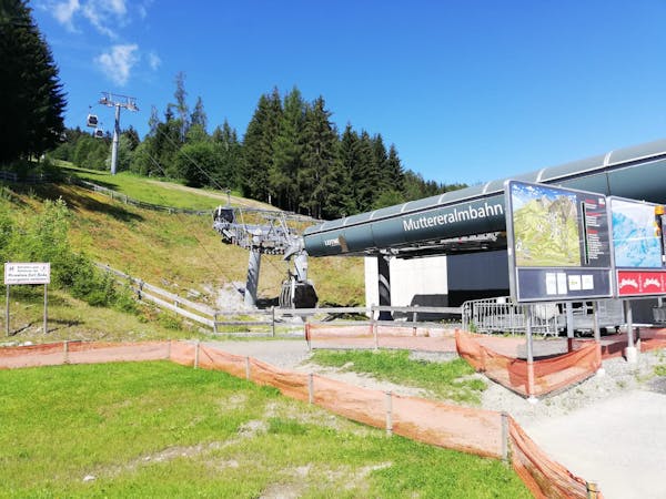
Start at the far side of the Mutteralmbahn car park and take the ‘Muttereralmweg’ trail number 510, in the direction of Muttereralm and Nockhof. Follow the gravel track through the forest, reaching a righthand turn for Nockhof after around 1/2 hour. This is a working alpine farm with great views, well worth an early stop. From here, continue following route number 510 uphill for another 45 minutes to reach the Muttereralm mountain restaurant, at the top of the ca-ble car.
From the restaurant, follow the yellow trail marker signs to the left through the forest to join bike trail number 512, signposted Kreither Alm and Raitiser Alm. Continue along this gravelly trail for another 10 minutes to reach a junction, from here if you look across to the hillside opposite you will catch your first glimpse of the Kreither Alm. Turn right to shortly arrive at the alm itself. This signals the end of the uphill and is a great place to stop for lunch.
From the Kreither Alm, head back to the junction to start the de-scent, now following signs downhill for Kreith. After 15 minutes you will emerge from the forest and into the small village of Kreith. From here follow the road through the village centre to return back to the start of the route in Mutters.
If you are travelling back to Innsbruck by bike, the most direct route is to simply follow the B182 all the way back to the city, or alterna-tively, a regular tram runs between Mutters and Innsbruck, taking 30 minutes.
Moderate
Mostly stable trail tread with some variability, with unavoidable obstacles 8in/20cm tall or less. Other obstacles such as rock gullies and steep sections may exist. Ideal for lower intermediate riders.

The path is on completely flat land and potential injury is limited to falling over.

Away from help but easily accessed.
1.4 km away
Competition Track of deuter Downhill presented by Raiffeisen Club 2021
Extreme Mountain Biking
2.2 km away
A fast and technical downhill track!
Severe Mountain Biking
2.7 km away
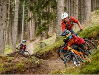
An exciting varied and natural trail in the woods.
Difficult Mountain Biking
2.7 km away
Downhill fun for the whole family!
Easy Mountain Biking
3.3 km away
Fast, playful, winding trail.
Difficult Mountain Biking
3.4 km away
Natural technical singletrack.
Severe Mountain Biking
5.6 km away
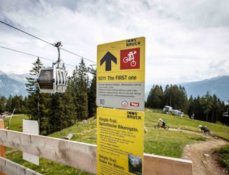
All the way up from the city to Arzler Alm - where the single trail starts.
Moderate Mountain Biking
5.7 km away
A nice spin on the cycling paths alongside the Inn.
Easy Mountain Biking
5.7 km away
Mini Gravel route just outside the city center.
Easy Mountain Biking
5.7 km away
Gravel experience of Nordkette from west to east.
Difficult Mountain Biking
5 routes · Mountain Biking
2 routes · Mountain Biking
7 routes · Mountain Biking