1.2 km away
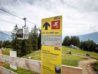
The Chainless One
Downhill fun for the whole family!
Easy Mountain Biking
- Distance
- 6.8 km
- Ascent
- 1 m
- Descent
- 644 m
Natural technical singletrack.
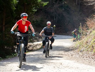
Mountain Biking Severe

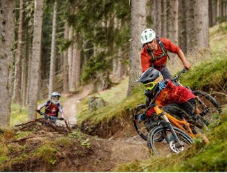
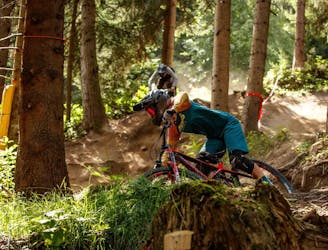
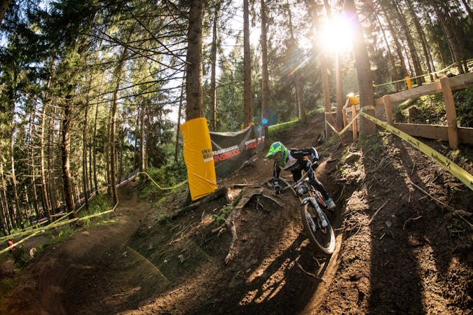
The Rough One track is a natural downhill trail located on the Götzens side of the bikepark. This trail is fully packed with roots, jumps and tight technical sections. This track follows a winding and physical route down from the middle station of the Nockspitzbahn lift - the gondola starting from Götzens village - and it goes down through the forest and over the ski pistes back to the village. The route is a real treat for downhillers and enduro riders who like a challenge.
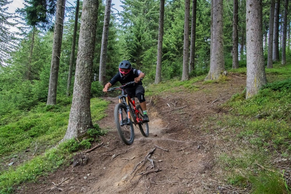
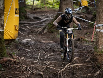
For several years, this trail has been the track where Crankworx pro riders have been riding down during the downhill event. Nowadays, the Crankworx downhill event it’s running on another trail: The Straight One. With over than 400 vertical meters drop from start to finish, this natural trail features everything that makes downhill mountain biking such an addicting activity: root sections, forest terrain, fast passages, rock gardens and medium-sized jumps as well as some sick artificial features. It is rated between S2 and S3, meaning that riders should be experienced and have both good fitness and bike-handling skills all over the entire length of the trail.
The first section leads through a forest and has lots of loose terrain with some roots and small jumps. After crossing over a forest road, the trail enters a more dense forest with dense trees closer together. This section is more technical than the initial section and requires good bike-handling skills and - in particular - a really good level of fitness.
The second main section is above all fast and furious. Riders speed through meadows and open forests, rock gardens and wood constructions. Adrenaline junkies can get some serious airtime on the jump, while those who wish to, can ride around thanks to the chicken line. With the end of the trail already in sight, there is no let-up in the action, with a series of off-camber switchbacks down the final section of piste. After around two kilometers of pure downhill fun, riders reach the end of the trail at the bottom of the lift in Götzens.
Severe
Widely variable, narrow trail tread with steeper grades and unavoidable obstacles of 15in/38cm tall or less. Obstacles may include unavoidable bridges 24in/61cm wide or less, large rocks, gravel, difficult root sections, and more. Ideal for advanced-level riders.

The trail contains some obstacles such as outcroppings and rock which could cause injury.

Close to help in case of emergency.
1.2 km away
Downhill fun for the whole family!
Easy Mountain Biking
1.2 km away
An exciting varied and natural trail in the woods.
Difficult Mountain Biking
1.4 km away
Fast, playful, winding trail.
Difficult Mountain Biking
1.5 km away
A fast and technical downhill track!
Severe Mountain Biking
2 km away
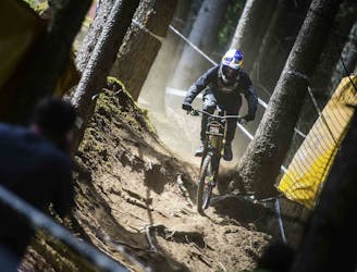
Competition Track of deuter Downhill presented by Raiffeisen Club 2021
Extreme Mountain Biking
3.4 km away
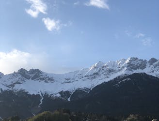
A medium difficulty, circular route on the southern side of the Inn Valley. The elevation gain is just under 900m, but all the uphill is covered in the first half, allowing for an easy finish after lunch!
Moderate Mountain Biking
7.9 km away
All the way up from the city to Arzler Alm - where the single trail starts.
Moderate Mountain Biking
7.9 km away
A nice spin on the cycling paths alongside the Inn.
Easy Mountain Biking
7.9 km away
Mini Gravel route just outside the city center.
Easy Mountain Biking
7.9 km away
Gravel experience of Nordkette from west to east.
Difficult Mountain Biking
5 routes · Mountain Biking
2 routes · Mountain Biking
7 routes · Mountain Biking