46 m away
Mühlau Way
Mini Gravel route just outside the city center.
Easy Mountain Biking
- Distance
- 6.8 km
- Ascent
- 172 m
- Descent
- 178 m
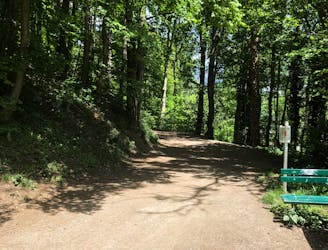
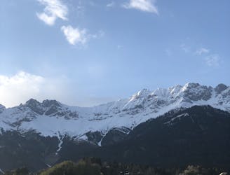
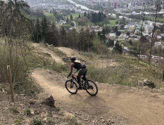
Gravel experience of Nordkette from west to east.
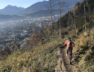
Mountain Biking Difficult

On this route, you will have the ultimate gravel experience of Nordkette from west to east.
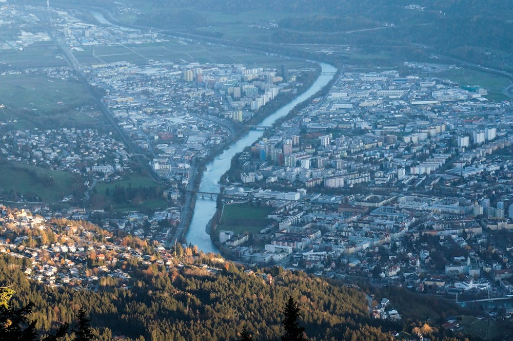
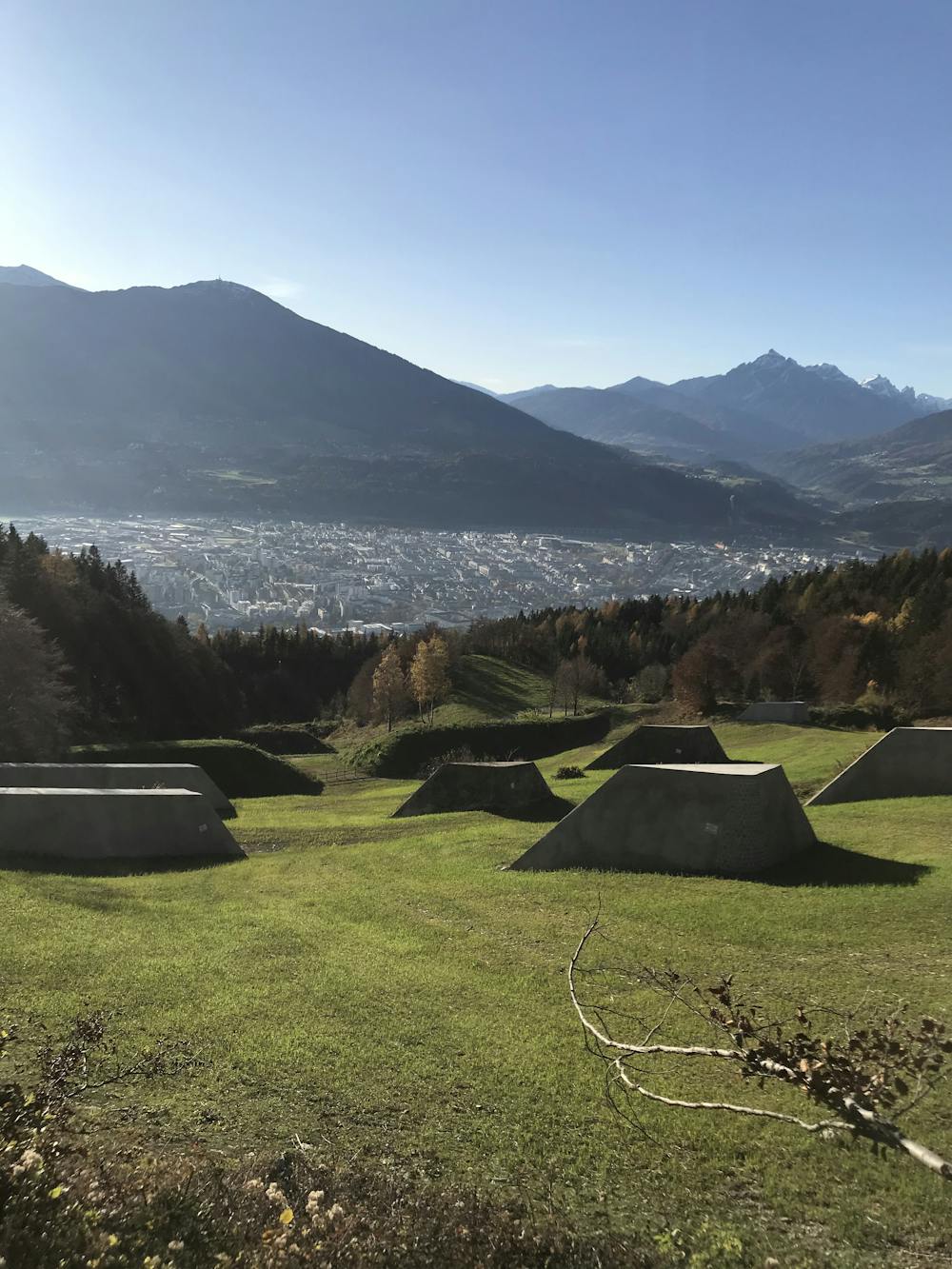
You will be amazed when you realize that - after pedaling for such a short time - you are already deeply surrounded by nature and a completely different landscape than the city, which is lying just a few hundred meters below you.
The Nordkette mountain range makes Innsbruck one of the only medium-sized cities where you can still access the mountains in no time, which opens a lot of possibilities for any kind of sport - both in summer and winter - while living or spending holidays in town.
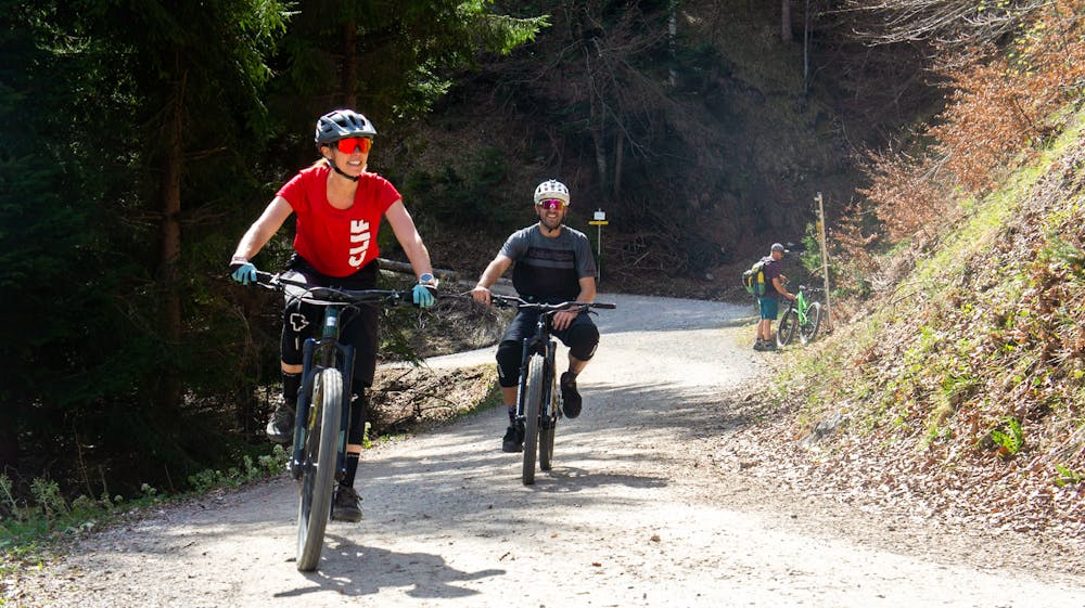
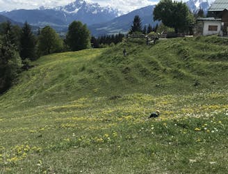
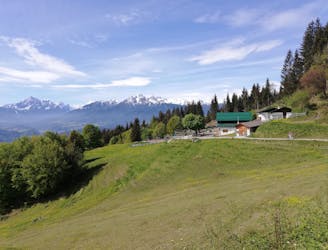
Taking the gravel bike for a spin on this route allows you to experience all the different sides and characteristics of Nordkette: gravel roads in green forests, crossing rivers and meadows, enjoying food and drinks on a few of the most popular huts in the chain and - obviously - admiring the view over the city from different perspectives.
This route, given the elevation gain, the distance, and the steepness of the climb in different sections, requires moderate physical fitness.
Difficult
Mostly stable trail tread with some variability featuring larger and more unavoidable obstacles that may include, but not be limited to: bigger stones, roots, steps, and narrow curves. Compared to lower intermediate, technical difficulty is more advanced and grades of slopes are steeper. Ideal for upper intermediate riders.

The path is on completely flat land and potential injury is limited to falling over.
Close to help in case of emergency.
46 m away
Mini Gravel route just outside the city center.
Easy Mountain Biking
70 m away
A nice spin on the cycling paths alongside the Inn.
Easy Mountain Biking
87 m away
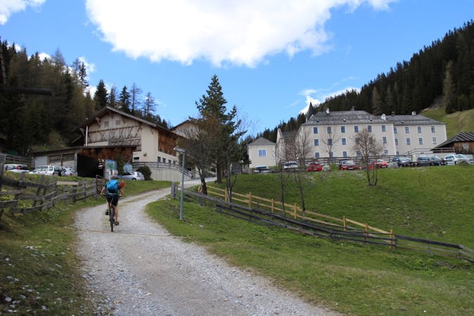
All the way up from the city to Arzler Alm - where the single trail starts.
Moderate Mountain Biking
1.8 km away
A stunning and non-technical trip to a couple of lovely mountain huts.
Easy Mountain Biking
1.8 km away
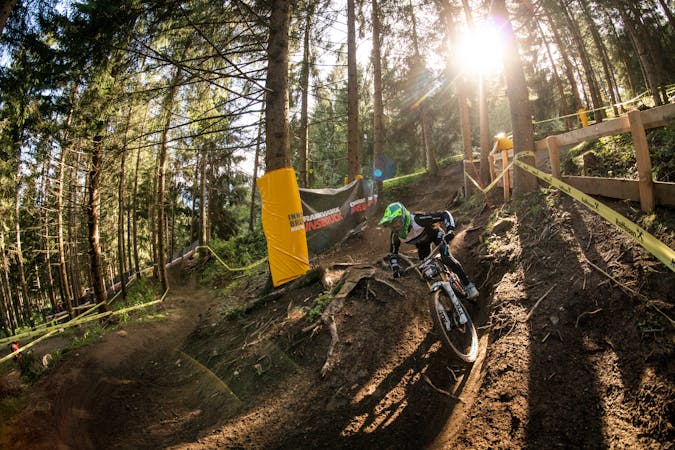
Innsbruck's best known trail is worth the hype!
Difficult Mountain Biking
2.1 km away
A very easy to access trail, thanks to the public transportation in Innsbruck
Moderate Mountain Biking
3.2 km away
The longest single trail in Innsbruck - enjoy the breathtaking view in between a feature and the next one.
Difficult Mountain Biking
4.5 km away
A sunny and beautiful trip between 5 classic Austrian mountain huts.
Easy Mountain Biking
4.5 km away
A technically easy but physically hard ride to a stunning and rustic mountain hut.
Moderate Mountain Biking
5.7 km away
A medium difficulty, circular route on the southern side of the Inn Valley. The elevation gain is just under 900m, but all the uphill is covered in the first half, allowing for an easy finish after lunch!
Moderate Mountain Biking
5 routes · Mountain Biking

24 routes · Mountain Biking
7 routes · Mountain Biking