25 m away
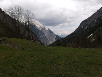
Thaurer Alm
A technically easy but physically hard ride to a stunning and rustic mountain hut.
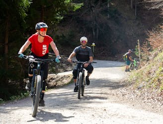
Moderate Mountain Biking
- Distance
- 16 km
- Ascent
- 843 m
- Descent
- 907 m
A sunny and beautiful trip between 5 classic Austrian mountain huts.
Mountain Biking Easy

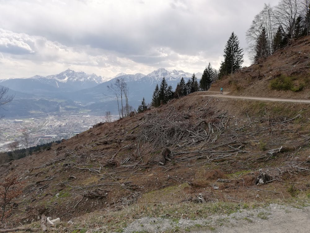
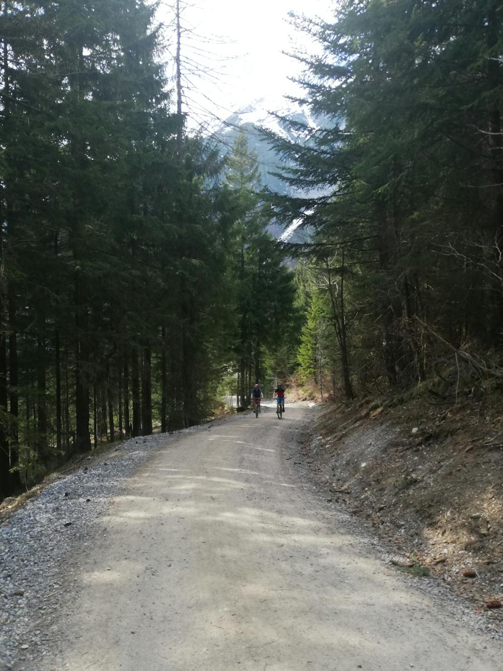
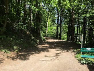
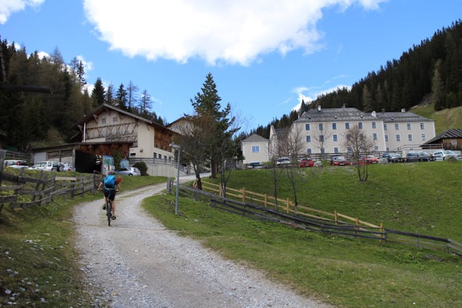
With a welcoming Tirolian Alm/hut (on average) every 4.5 kilometres/220 vertical metres, this is about as civilised as long-ish gravel rides get! It's not just about the food and drink though - the riding takes you through beautiful forests and across huge, wild-feeling bowls. The route can easily be shortened by skipping out the detours to the Rumer, Arzler or Höttinger Alms, and it's easy to ride back in to Innsbruck at virtually any stage of the day if the weather suddenly deteriorates. The route is all on good, well-maintained jeep tracks and the occasional section of tarmac so there's no technical riding involved at any stage.
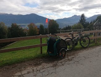
The route is accessed at both its start and finish using the "A" bus (one line of the excellent public bus network in Innsbruck), which runs from the start point of the ride (Rum Sanatorium - a private hospital) to the end point - Sadrach (a suburb of Innsbruck). It is, of course, possible to ride to the start or finish from anywhere in Innsbruck but the bus does save you quite a slog up to the Sanatorium at the start of the day.
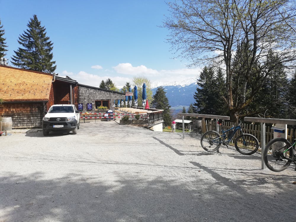
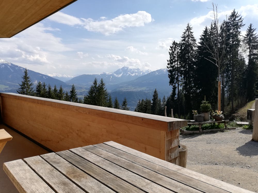
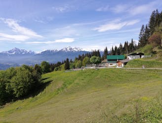
From the Sanatorium you are straight into the uphill and it's a pretty long and (initially quite steep) ascent up to the first hut of the day - Enzianhütte. The first - and steepest - part of the ascent is on tarmac but you're soon onto a gravel track which leads you up to the hut. Until 2019 the hut was old and rustic but it was has been renovated and is now a huge, modern building which enjoys a fantastic view across the Inn valley. As with every hut on this trip it serves an array of hearty Tirolian food and has a well stocked drinks fridge too!
Carry on uphill from the Enzianhütte to reach the second highest hut on the trip - Rumer Alm. This is a much more old-school hut but very welcoming and again, well positioned.
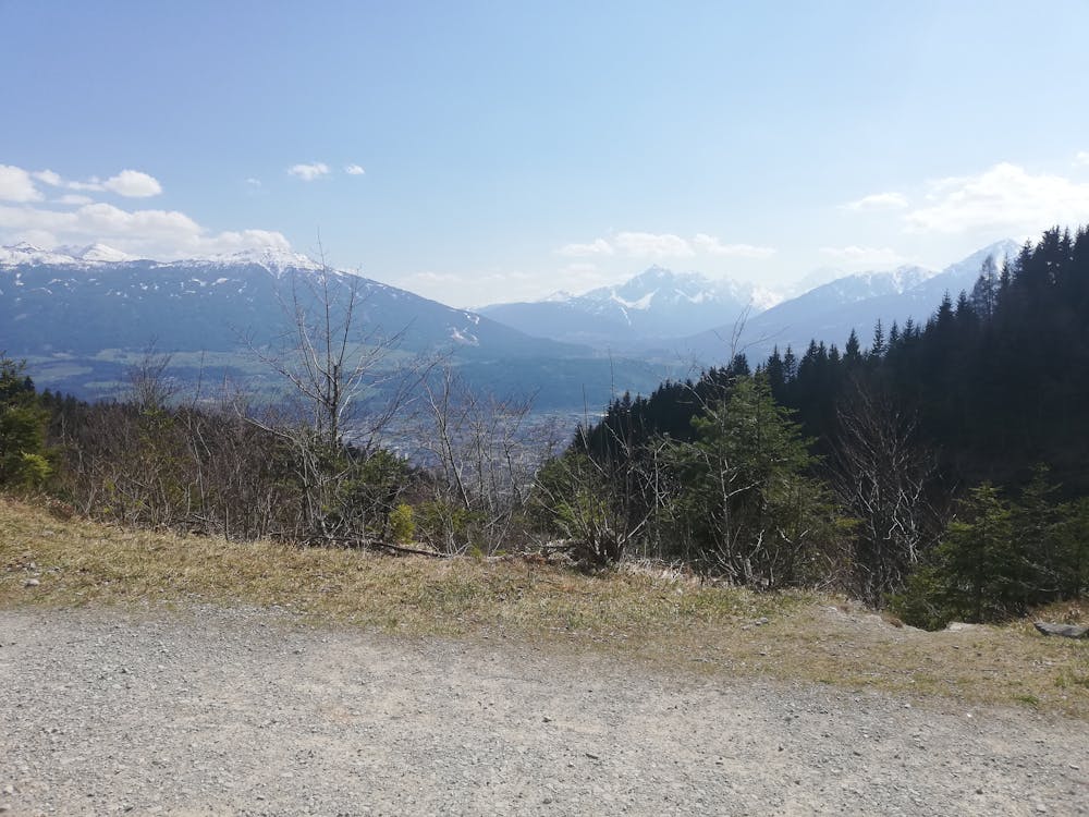
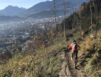
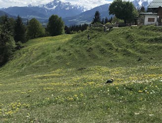
Descend from the hut the same way you came up and after going around a couple of hairpins, branch off right to a flatter track which traverses across the huge bowl south of the Arzler Scharte col. From the far side of the bowl you can either continue straight up towards Höttinger Alm or (highly recommended) descend to Innsbruck's most famous Alm - Arzler Alm. The Alm is busy all summer long because it's easily accessible and in a stunning position. It's got a petting zoo and a playground for kids too, so if you're doing this ride with children, Arzler Alm will likely be their favourite part of the day!
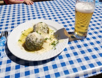
From Arzler Alm retrace your steps up to the beginning of the Arzler Scharte bowl and then make the long climb up to the Höttinger Alm - the highest point on the route. The climb takes you along some spectacular trails but the best part is the very last section before the hut where you cross 2 bowls, with the hut in sight and getting closer every second. Once you arrive, settle in at one of the tables outside the hut and order the Tirolian delicacy of your choice! The spinatknödel (spinach dumpling) is truly spectacular but none of the food is bad!
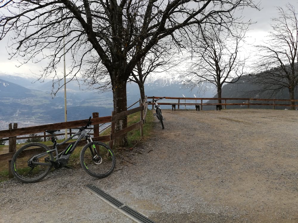
Suitably satiated, descend back down the way you came and then, upon reaching a junction just to the east of the Seegrube cable car cables, turn right and make the fun, flowy descent to the final hut of the day - Umbrüggler Alm. Like Enzianhütte, this is a newly-built, modern hut and as with every other place you stop on this route, it enjoys a fabulous view.
All that's left now is a fun descent down past the lovely little Höttinger Bild church to the Innsbruck suburb of Sadrach. Either jump back on the "A" bus or ride triumphantly into town.
Easy
Mostly smooth and non-technical singletrack with unavoidable obstacles 2in/5cm tall or less. Avoidable obstacles may be present. Ideal for beginner riders.

Away from help but easily accessed.
25 m away
A technically easy but physically hard ride to a stunning and rustic mountain hut.
Moderate Mountain Biking
3.3 km away
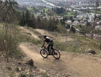
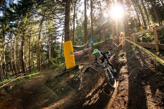
The longest single trail in Innsbruck - enjoy the breathtaking view in between a feature and the next one.
Difficult Mountain Biking
3.4 km away
A very easy to access trail, thanks to the public transportation in Innsbruck
Moderate Mountain Biking
3.7 km away
Innsbruck's best known trail is worth the hype!
Difficult Mountain Biking
3.7 km away
A stunning and non-technical trip to a couple of lovely mountain huts.
Easy Mountain Biking
4.5 km away
Gravel experience of Nordkette from west to east.
Difficult Mountain Biking
4.5 km away
Mini Gravel route just outside the city center.
Easy Mountain Biking
4.6 km away
A nice spin on the cycling paths alongside the Inn.
Easy Mountain Biking
4.6 km away
All the way up from the city to Arzler Alm - where the single trail starts.
Moderate Mountain Biking
5.8 km away
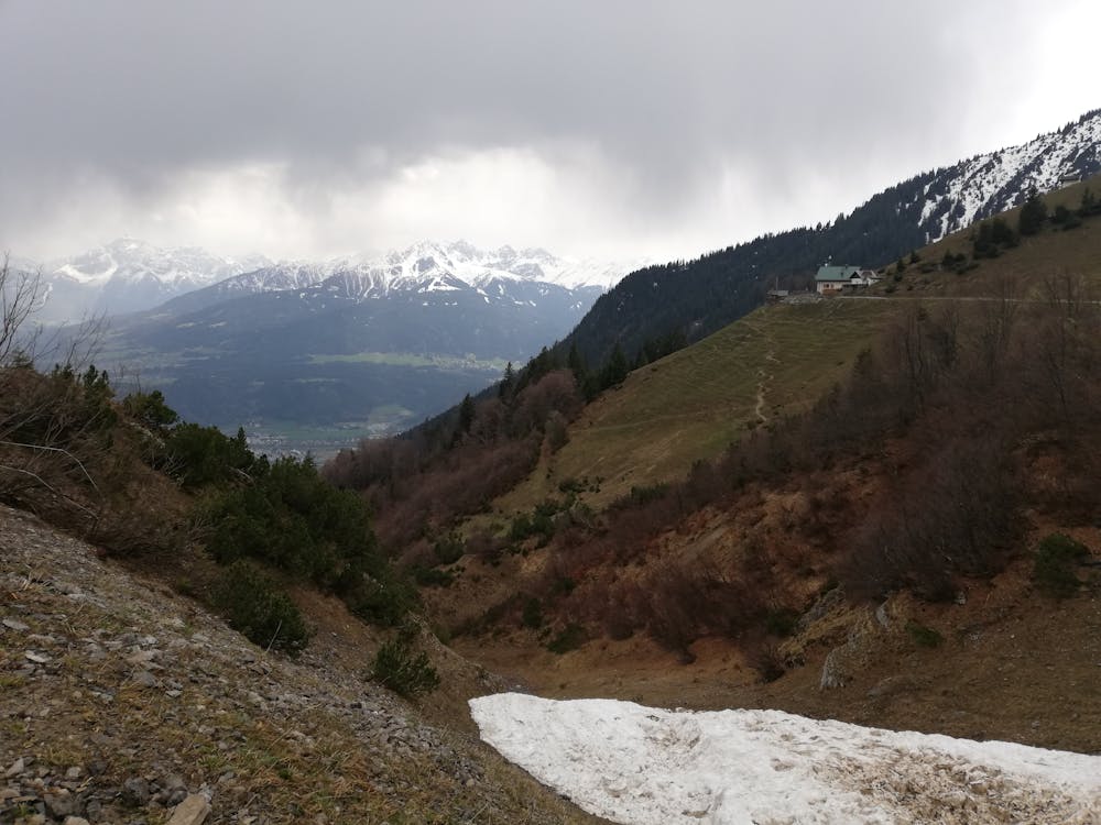
A technically easy but physically tough route deep into a gorgeous valley.
Moderate Mountain Biking
5 routes · Mountain Biking

24 routes · Mountain Biking
7 routes · Mountain Biking