1.1 km away
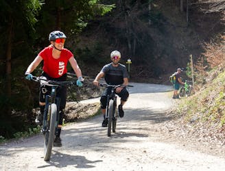
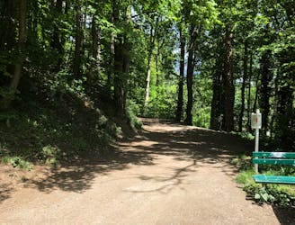
Hungerburg Trail
A very easy to access trail, thanks to the public transportation in Innsbruck
Moderate Mountain Biking
- Distance
- 2.2 km
- Ascent
- 10 m
- Descent
- 265 m
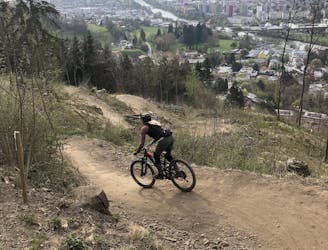
The longest single trail in Innsbruck - enjoy the breathtaking view in between a feature and the next one.
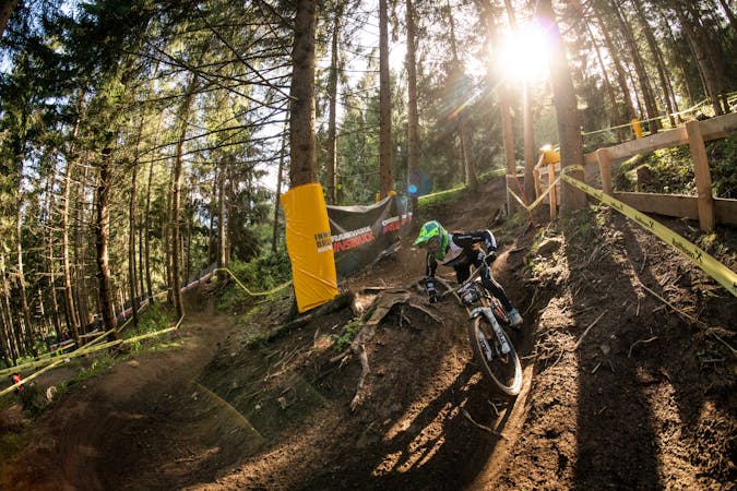
Mountain Biking Difficult

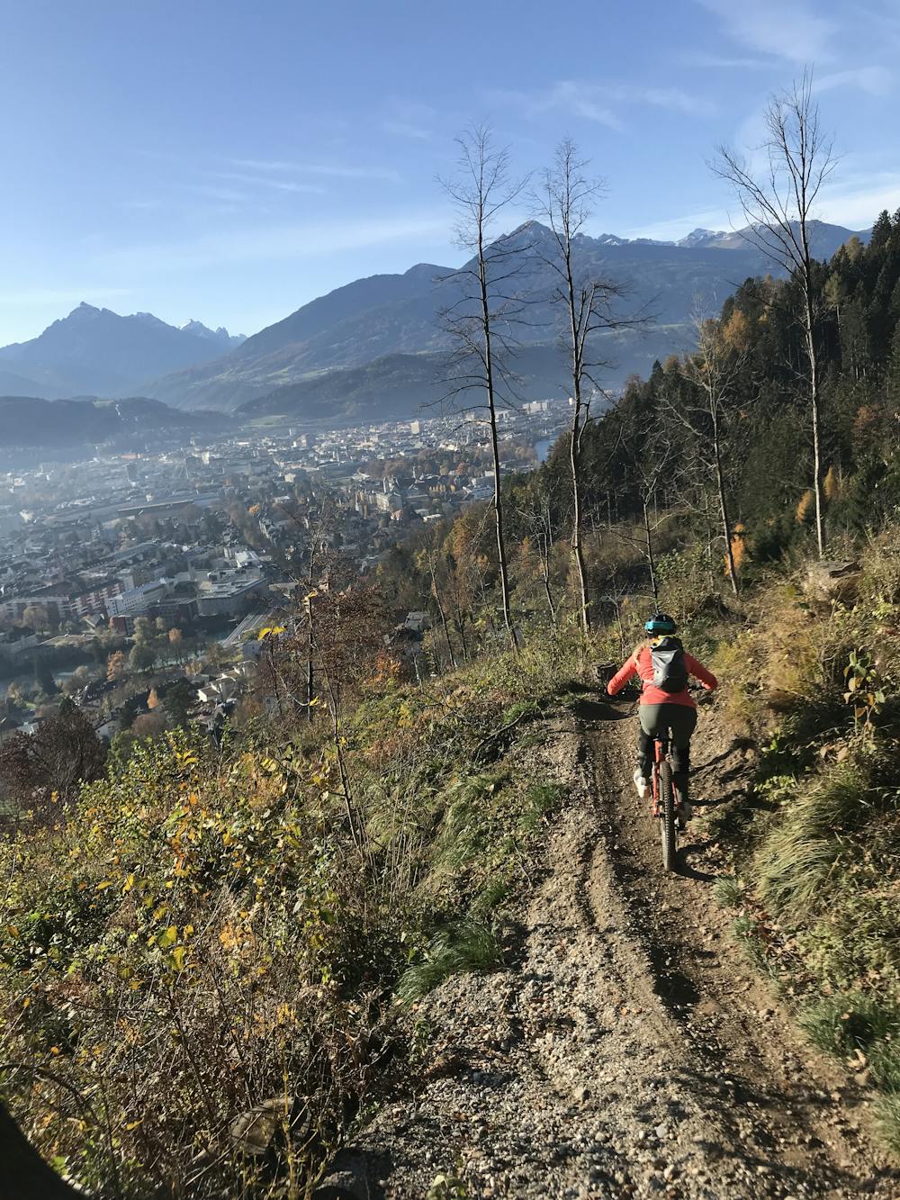
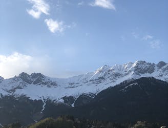
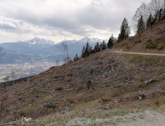
The longest and the most famous single trail around Innsbruck - this trail offers breathtaking views over the town! From shaped berms, jumps, and gaps to technical natural sections - this trail has it all and will satisfy every different kind of rider. Before dropping into the jumps and berms of the first section, enjoy the view and snap some pictures, taking advantage of the landscape.
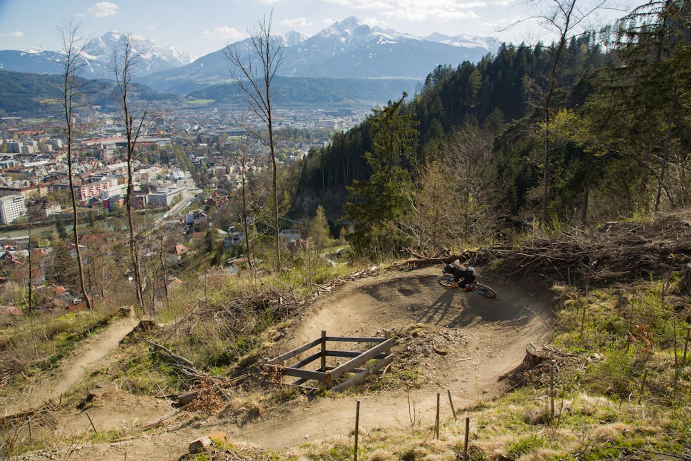
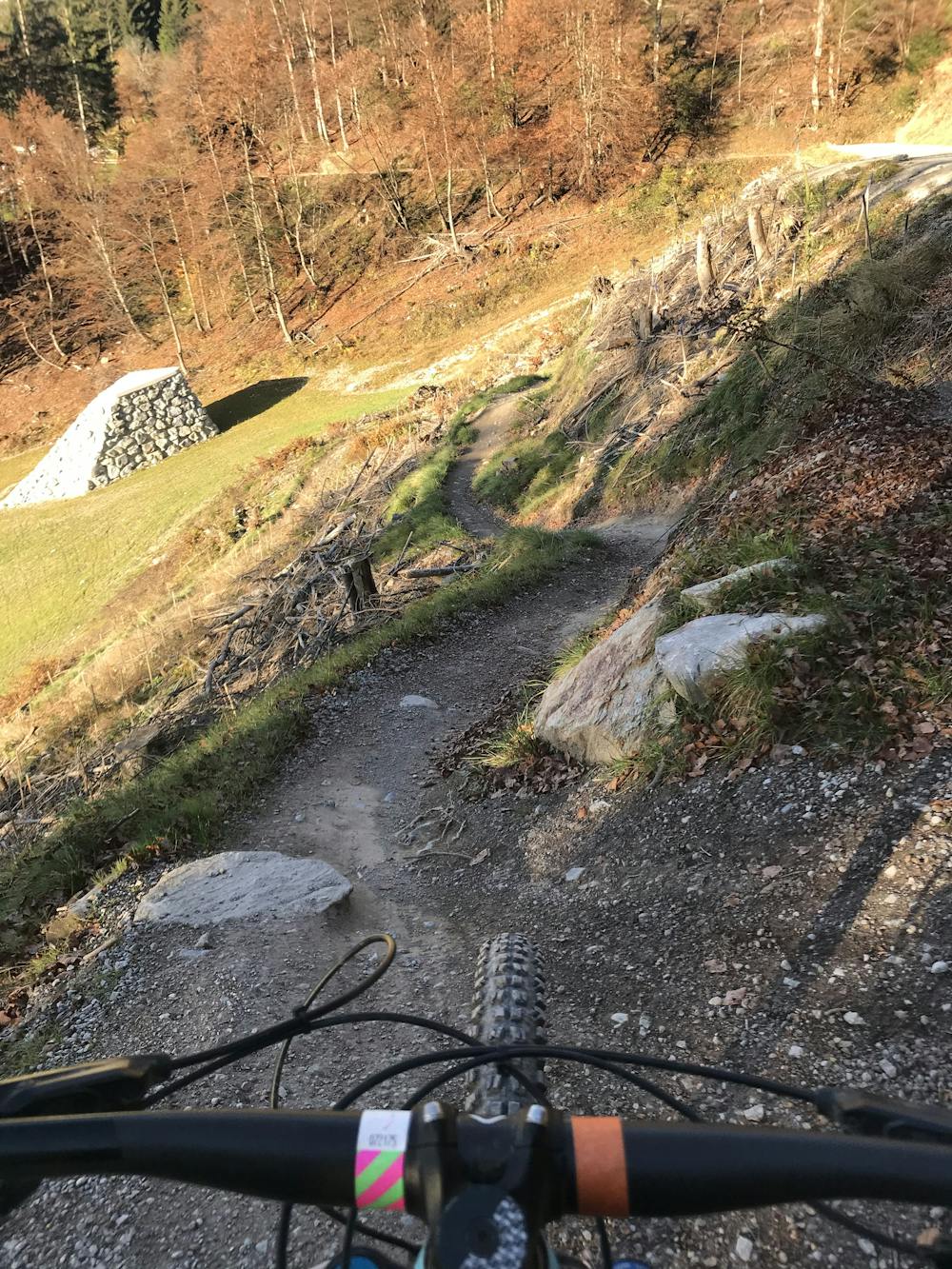
Drop into the trail and control your speed on the first section in order to correctly jump all the features. If you are not confident with the airtime, these jumps are perfectly shaped so that you can also roll them.
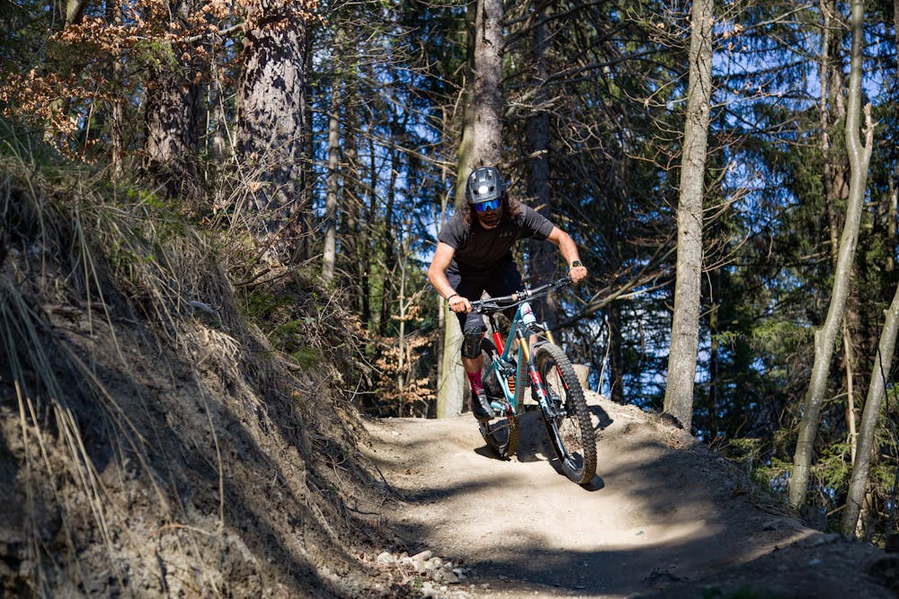
From the second section, the trail goes into the woods and still offers some more jumps and gaps. This section will end up crossing the forest road you used for climbing to the entrance, where you can also take a rest and fill your bottle.
The third section offers some more jumps and technical features. This section is often the wettest and takes a while to dry up after a rainfall.
The next section starts with some short turns and berms, slowly offering some small jumps and doubles until coming to the wooden bridge, which also is the point where Hungerburg Trail merges into the Arzler Alm Trail.
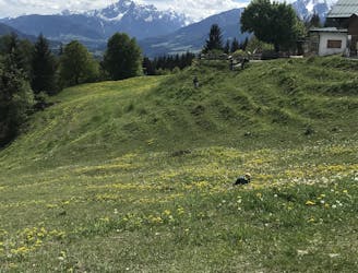
The next section goes through an open field, where you will ride some berms with an amazing landscape! Here - for those who haven’t done it already - snapping some pictures is highly recommended.
The last two sections are rather flat and require a lot of pumping in between the turns and the feature: challenge your friends in a chainless competition!
You are done, back in the city!
Difficult
Mostly stable trail tread with some variability featuring larger and more unavoidable obstacles that may include, but not be limited to: bigger stones, roots, steps, and narrow curves. Compared to lower intermediate, technical difficulty is more advanced and grades of slopes are steeper. Ideal for upper intermediate riders.

The trail contains some obstacles such as outcroppings and rock which could cause injury.

Close to help in case of emergency.
1.1 km away
A very easy to access trail, thanks to the public transportation in Innsbruck
Moderate Mountain Biking
1.3 km away
Innsbruck's best known trail is worth the hype!
Difficult Mountain Biking
1.4 km away
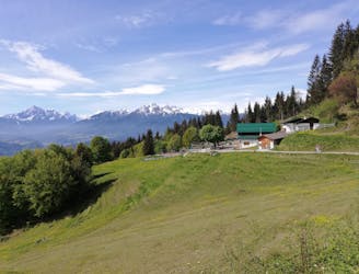
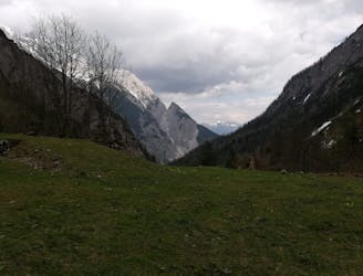
A stunning and non-technical trip to a couple of lovely mountain huts.
Easy Mountain Biking
3.2 km away
Gravel experience of Nordkette from west to east.
Difficult Mountain Biking
3.2 km away
Mini Gravel route just outside the city center.
Easy Mountain Biking
3.2 km away
A nice spin on the cycling paths alongside the Inn.
Easy Mountain Biking
3.3 km away
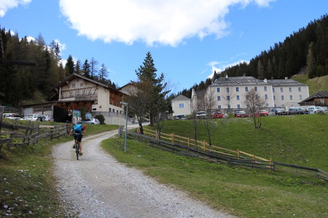
All the way up from the city to Arzler Alm - where the single trail starts.
Moderate Mountain Biking
3.3 km away
A sunny and beautiful trip between 5 classic Austrian mountain huts.
Easy Mountain Biking
3.3 km away
A technically easy but physically hard ride to a stunning and rustic mountain hut.
Moderate Mountain Biking
8.6 km away
A technically easy but physically tough route deep into a gorgeous valley.
Moderate Mountain Biking
5 routes · Mountain Biking

24 routes · Mountain Biking
7 routes · Mountain Biking