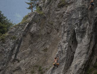
2.9 km away
Rangger Köpfl Loop
An incredibly wild-feeling trip through some wonderful scenery.
Difficult Hiking
- Distance
- 9.7 km
- Ascent
- 614 m
- Descent
- 615 m
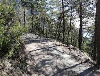
An easy hike with a picturesque lake and mountain view.
Hiking Moderate

The start of this hike is the soccer field in Grinzens, which you can reach by car or within minutes from the bus stop Grinzenz Abzweig Kemater Alm of the 4162 bus.
Follow the gravel road until you reach the first turn. Now turn left (east) onto the narrow Figlsteig trail and continue on it uphill trough a forrest while crossing the gravel road for a few times.
The third crossing of the road offers the possibility to refill your water bottle
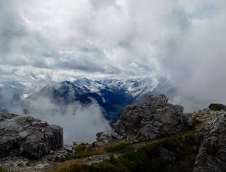
You’ll reach the ridge after a few more turns. With every step you take, the less trees you’ll find until you finally reach the tree line.
Continue the trail until the first little peak, Figl, appears in front. Only a few vertical meters are left until the route reaches its summit. From the Salfeins peak, you immediately spot the highlight of this tour: the lake.
Take a break on the waterside and enjoy this view, which is part of many Innsbruck-Student Instagram portfolio.
For the way back down, just follow the route you took for the ascent of this peak. Or, if you are motivated fore some more kilometers, take the trail south-east down in direction of the Kemater Alm hut and get a closer look at the steep Kalkkögel ridge.
Down in the valley you follow the Senderweg road north and back to the parking lot.
Moderate
Hiking along trails with some uneven terrain and small hills. Small rocks and roots may be present.

The path is on completely flat land and potential injury is limited to falling over.

Away from help but easily accessed.
2.9 km away
An incredibly wild-feeling trip through some wonderful scenery.
Difficult Hiking
5.1 km away
An atmospheric and wild-feeling hike through Tirol's finest mountains.
Difficult Hiking
5.1 km away
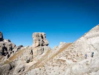
A brilliant short hike via the Hochtennbodensteig which takes you through some of the finest rock architecture in Austria in return for minimal physical effort!
Difficult Hiking
5.3 km away
A short but densely packed journey through some fabulous mountain scenery.
Moderate Hiking
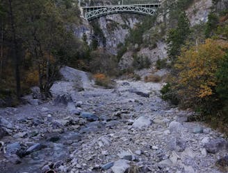
5.7 km away
An varied hike through a gorge to a traditional hut.
Moderate Hiking
6.3 km away
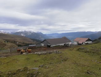
A nice loop to a hut at the bottom of the Solstein peaks.
Difficult Hiking
7.8 km away
A lovely - but at times steep - trip through a deep, high gorge.
Difficult Hiking
9.7 km away
A beautiful summit which is famous for being the first ever Alpine peak climbed by Sir Edmumd Hillary!
Difficult Hiking
10 km away
A family hike with scenic views into the higher mountains.
Easy Hiking
9 routes · Alpine Climbing · Hiking
4 routes · Hiking

5 routes · Hiking

9 routes · Hiking

25 routes · Hiking
7 routes · Hiking