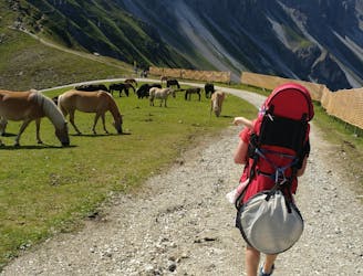
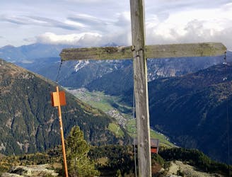
Start by riding the bus up to Axamer Lizum and then take the Olympiabahn train up to the Hoadlhaus station. The view from here is magnificent and you will be able to see much of your ascent route from the station.
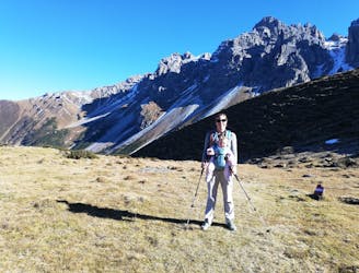
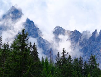
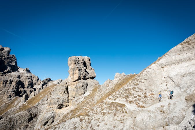
Descend south on a jeep track from the Hoadlhaus down to the Hoadlsattel and then continue down the jeep track to just below the Dohlen Nest bar. Turn right on a good path and climb up to the Widdersbergsattel and then continue across scree up to the Kalkkögel ridge. Upon arriving on the ridge the panorama suddenly opens up and it's worth taking some time to study the peaks of the Stubai Valley and pick out some of the more famous summits.
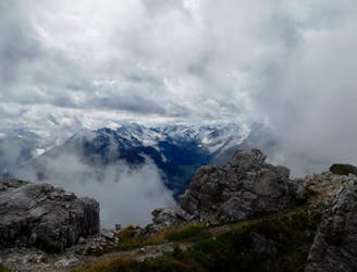
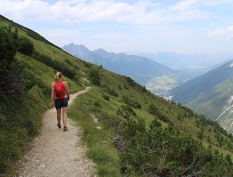
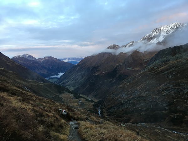
Drop off the ridge and then make a long, descending traverse west on a spectacular and occasionally exposed path that hangs high above the deep valley below. The path begins to descend much more steeply when it turns south and drops into the valley which (in winter) is home to the Schlick 2000 ski resort.
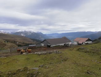
The descent into the valley feels pretty long but keep going because there is the wonderful Schlicker Alm restaurant waiting for you on the valley floor. This excellent hut serves all sorts of Tirolian delicacies and offers a warm welcome so luxuriate in the comfort and relish the fact that you're done with the difficult hiking.
Suitably refreshed, stroll downhill easily for an hour along a lovely forest track to reach the mid station of the Kreuzjochbahn cable car. Ride the lower section of the cable car down to the village of Fulpmes and then ride the tram or bus back to Innsbruck.