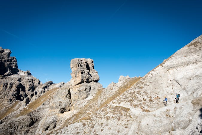
Crossing the Kalkkögel
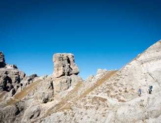
An atmospheric and wild-feeling hike through Tirol's finest mountains.
Difficult Hiking
- Distance
- 9.1 km
- Ascent
- 383 m
- Descent
- 1.4 km
Explore Schlick 2000 with curated guides of the best ski routes, and more. With over 19 3D trail maps in FATMAP, you can easily discover and navigate the best trails in Schlick 2000.
No matter what your next adventure has in store, you can find a guide on FATMAP to help you plan your next epic trip.
Get a top trail recommendation in Schlick 2000 from one of our 12 guidebooks, or get inspired by the 19 local adventures uploaded by the FATMAP community. Start exploring now!

An atmospheric and wild-feeling hike through Tirol's finest mountains.
Difficult Hiking
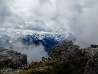
A beautiful summit which is famous for being the first ever Alpine peak climbed by Sir Edmumd Hillary!
Difficult Hiking

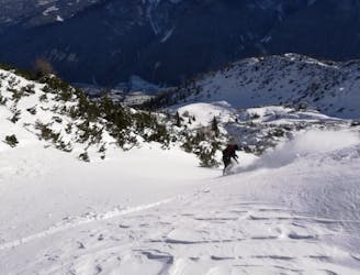
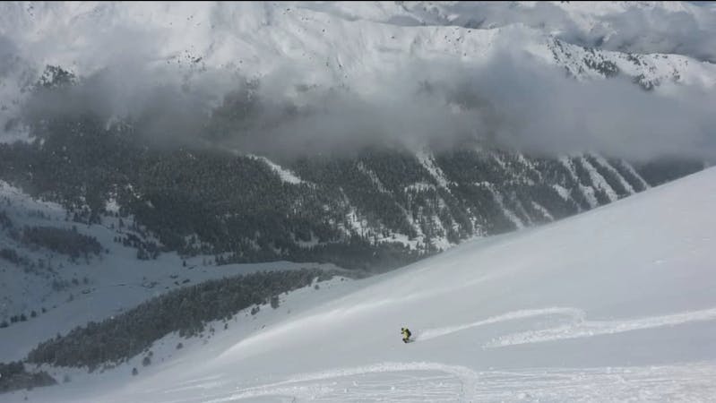
The access hike for 4 freeride lines.
Moderate Freeride Skiing
A lovely ski tour which takes in some fine scenery.
Moderate Ski Touring

A fun little variant.
Moderate Freeride Skiing

A wide, open and easy slope which usually has lovely snow.
Easy Freeride Skiing
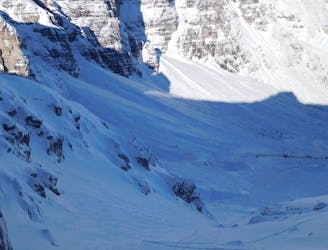
A beautiful freeride couloir.
Moderate Ski Touring

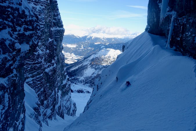
A great, narrow couloir and then some brilliant tree skiing.
Difficult Freeride Skiing

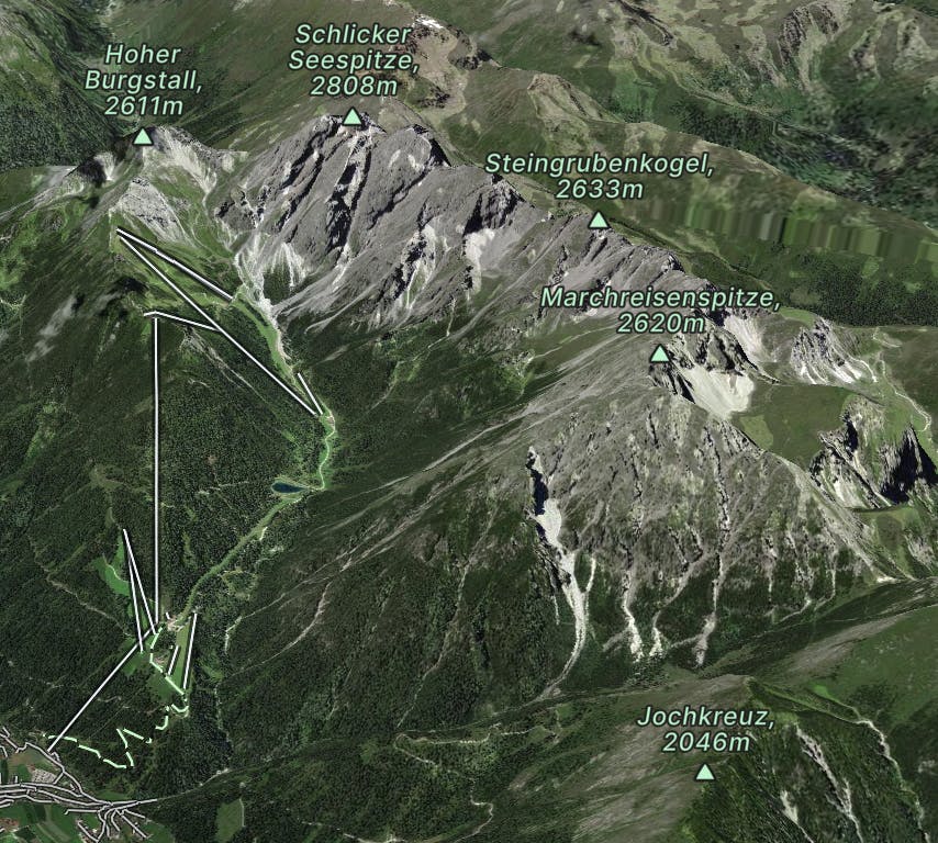
7 routes · Freeride Skiing
9 routes · Alpine Climbing · Hiking

50 routes · Freeride Skiing · Ski Touring
10 routes · Freeride Skiing
6 routes · Ski Touring
4 routes · Hiking

10 routes · Freeride Skiing

9 routes · Hiking